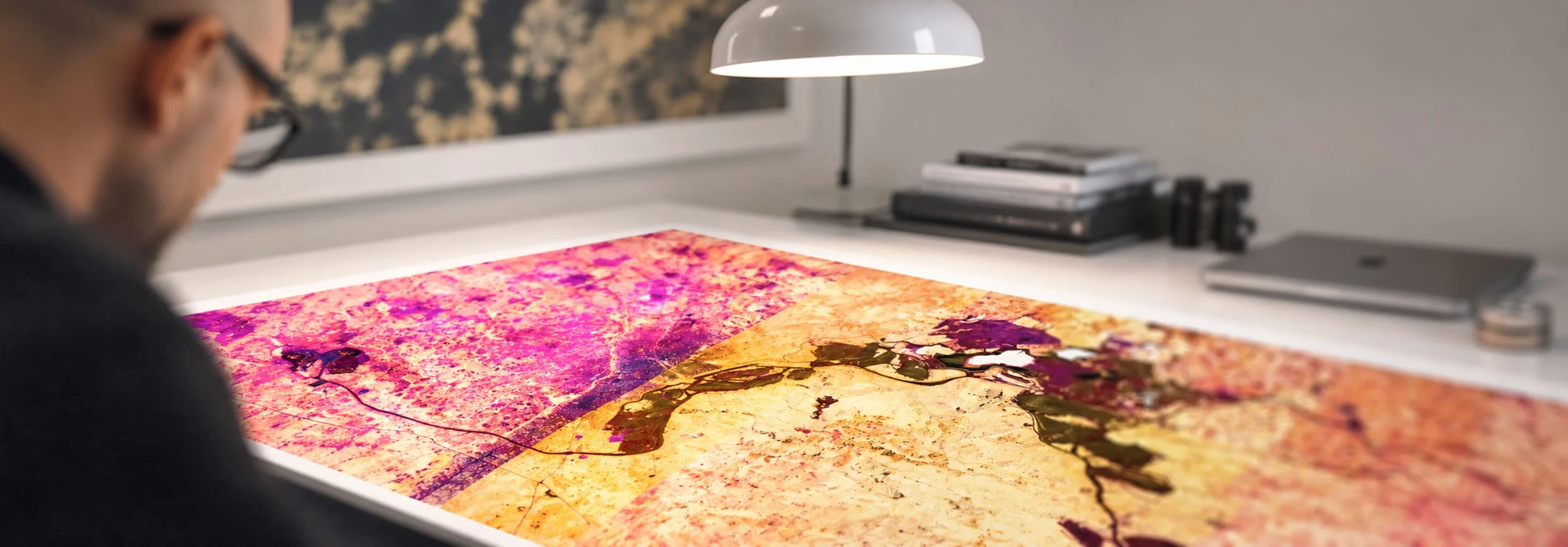
SATELLITE PHOTOGRAPHY TRANSFORMED INTO CONTEMPORARY FINE ART
A DECADE EXPLORING THE EARTH AS TERRITORY, INFRASTRUCTURE AND ABSTRACTION
A photographic art project by Federico Winer
BEYOND
CARTOGRAPHY
From a distance, landscapes reveal unexpected geometries, colors and patterns. Federico Winer´s ULTRADISTANCIA explores the transformation of geography into abstraction, revealing new ways of seeing the world.
EXPLORE THE COLLECTION
A visual exploration of the Earth, where geography, human intervention and natural forms converge into unexpected compositions.
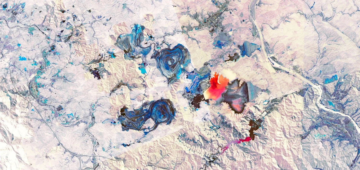
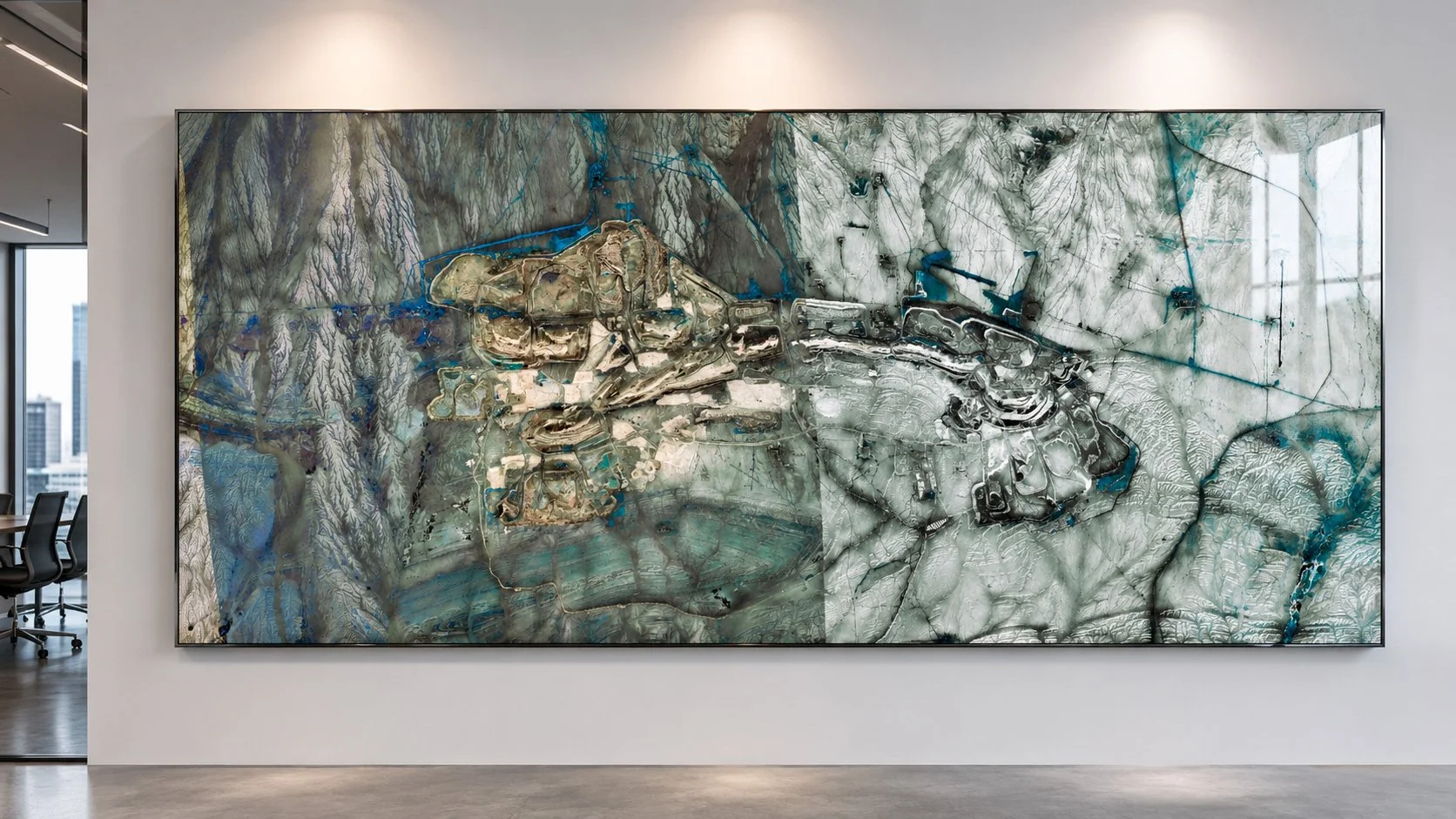
MINES
VIEW SERIES →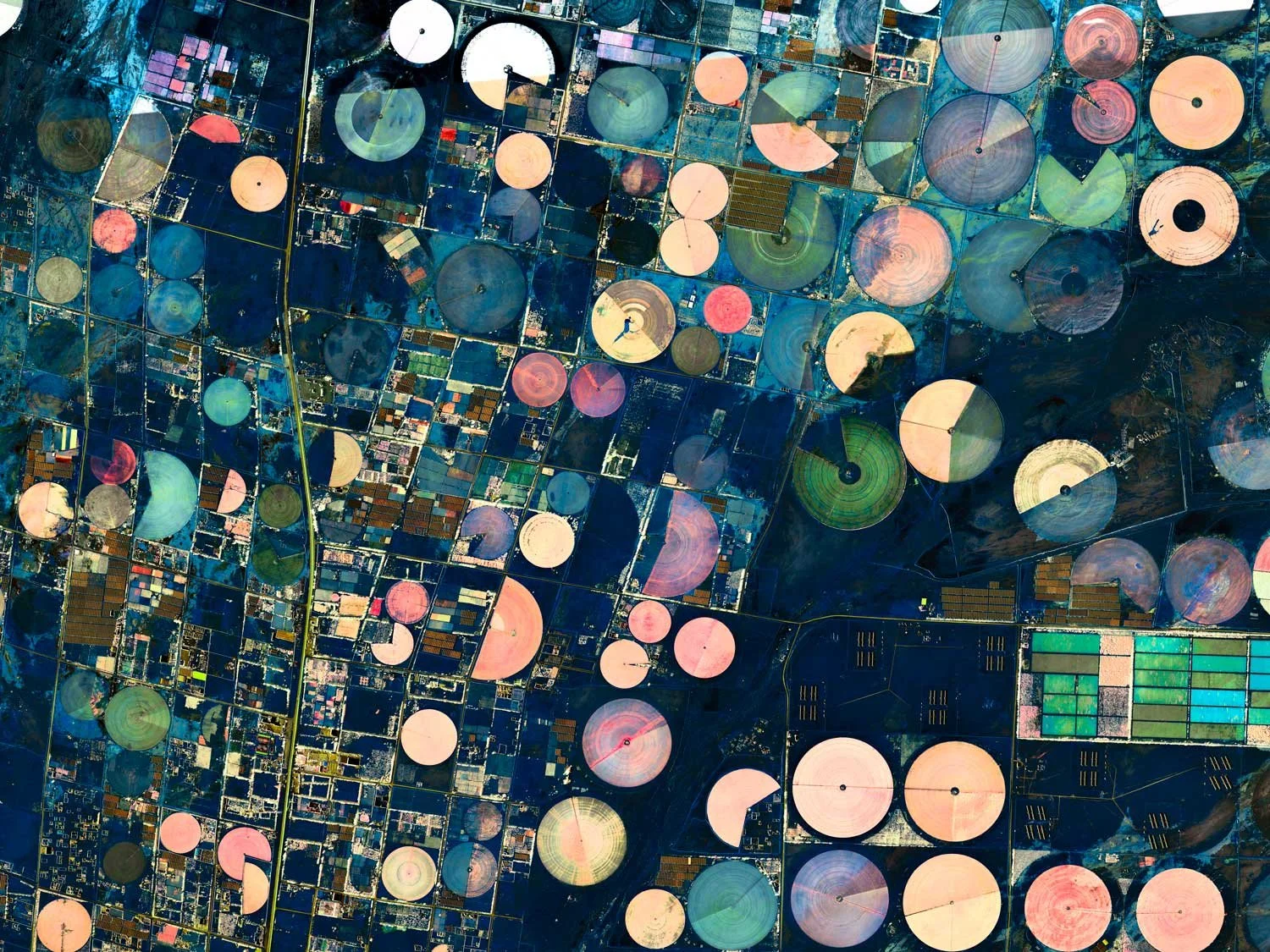
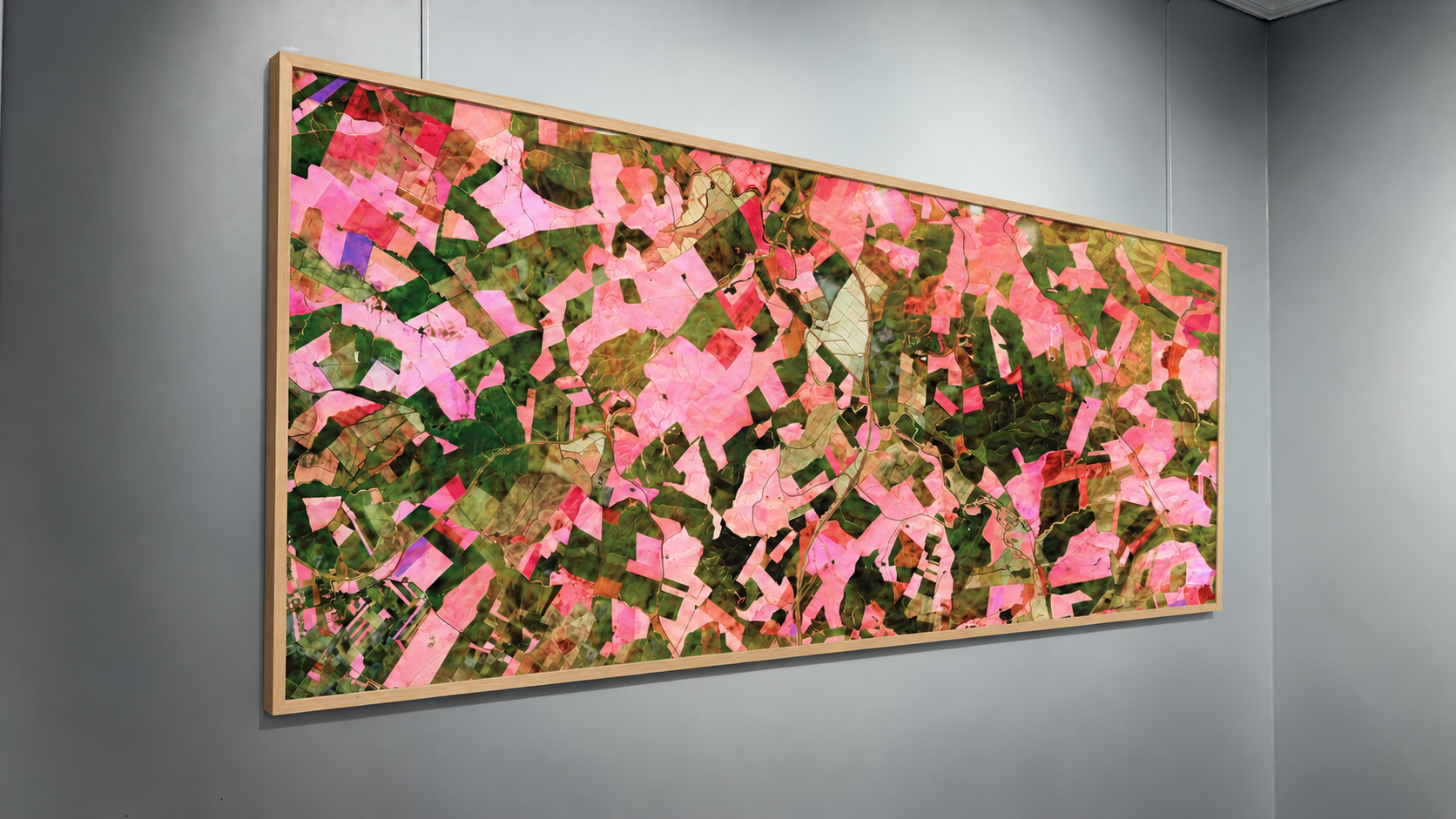
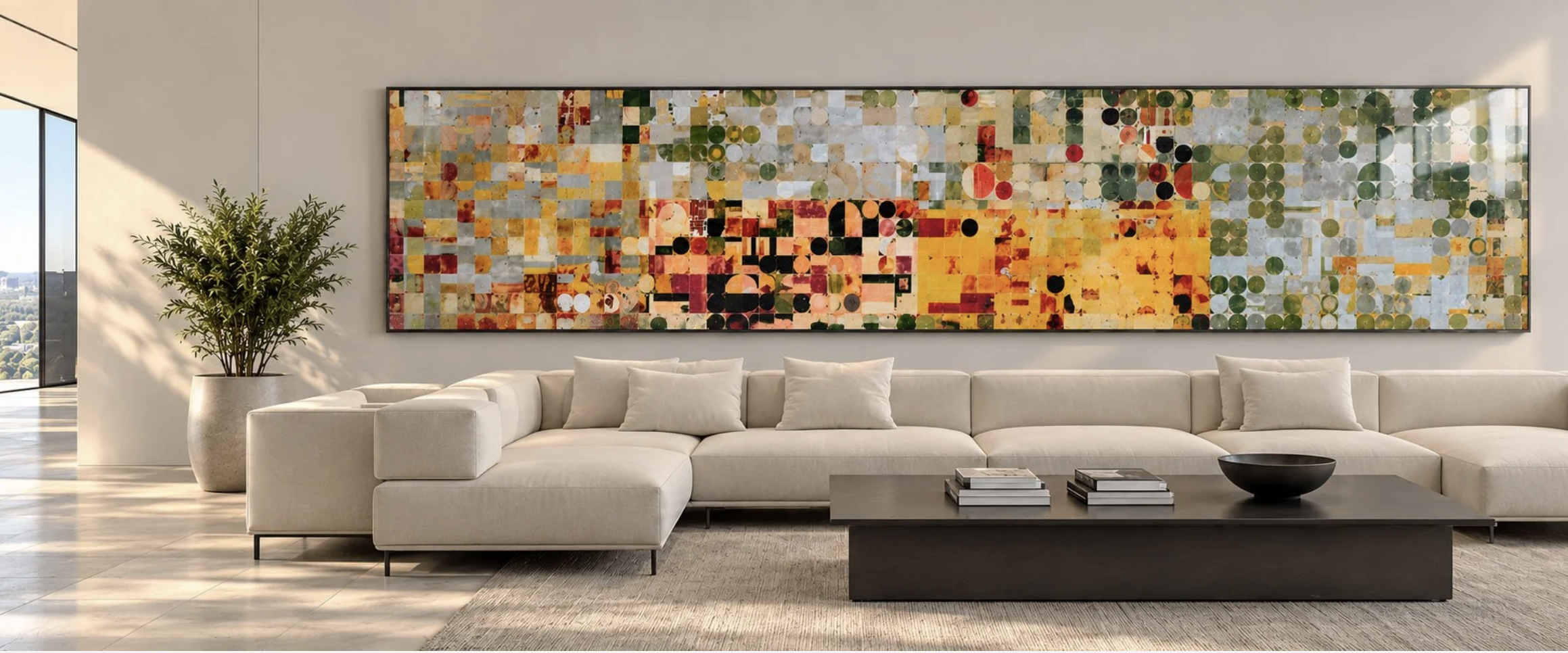
FIELDS
VIEW SERIES →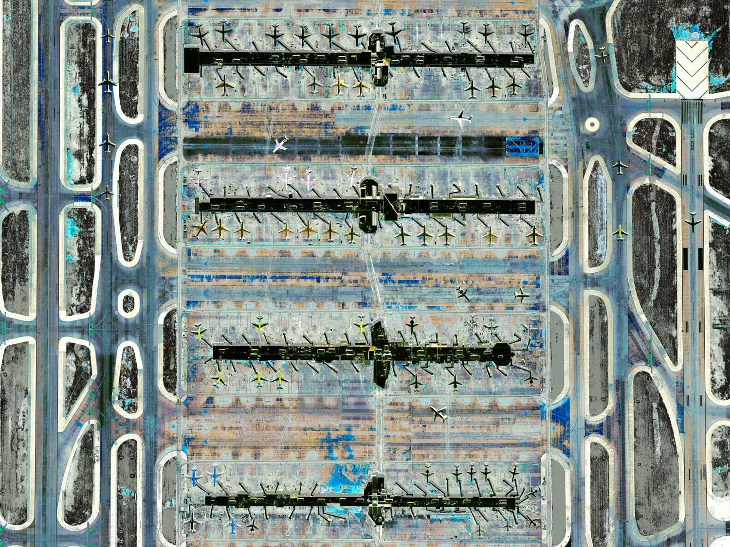
AIRPORTS
VIEW SERIES →
CITIES
VIEW SERIES →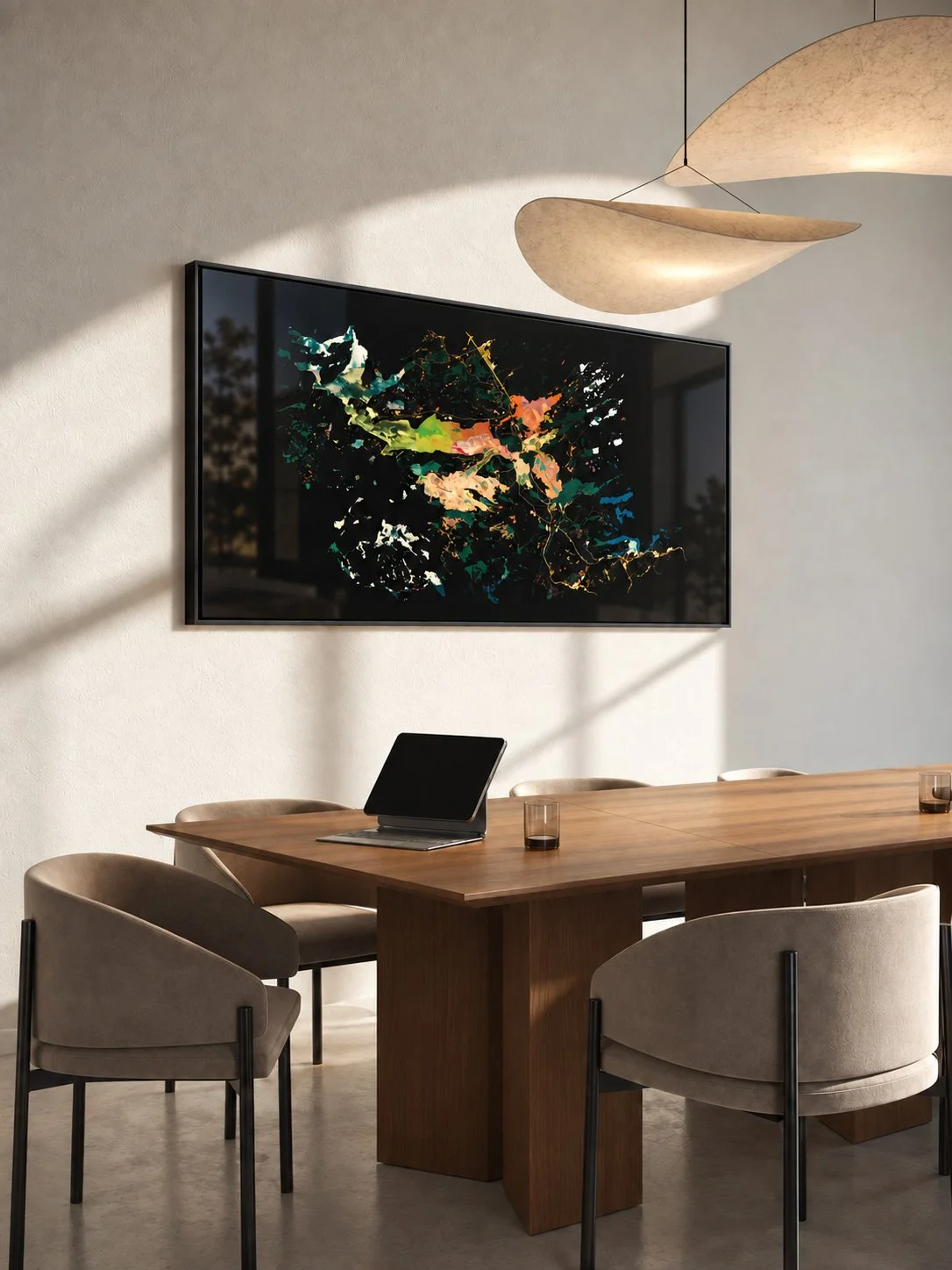
BESPOKE PROJECTS
Original site-specific artworks inspired by places of personal, cultural or institutional significance.
ART IN
SPACE
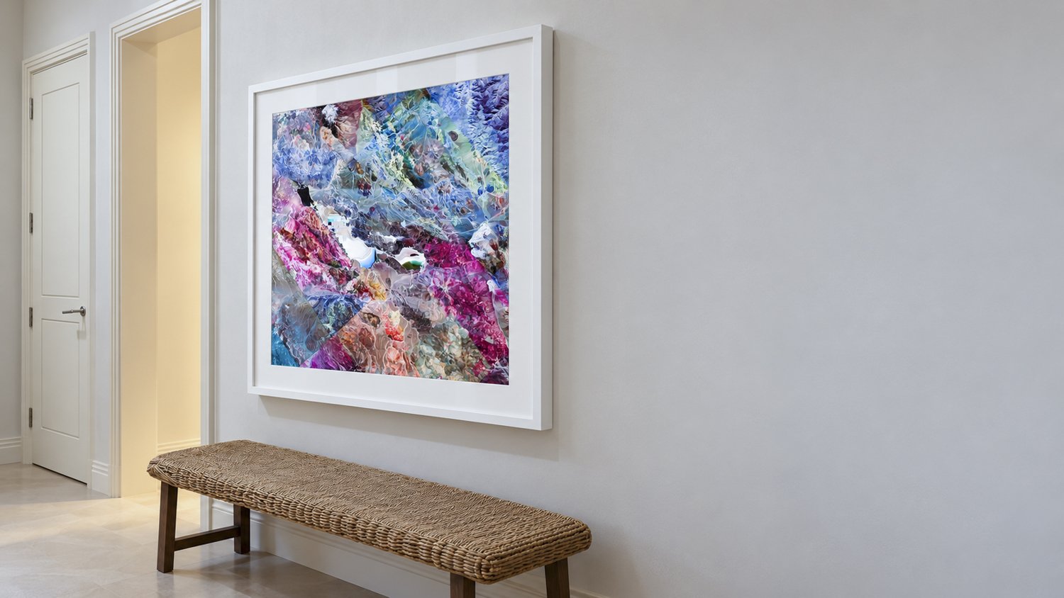
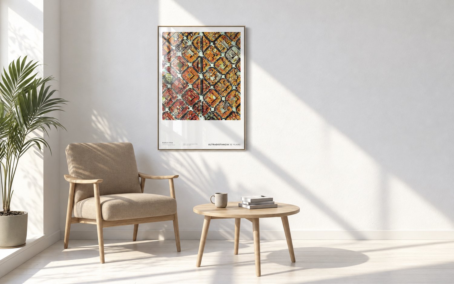
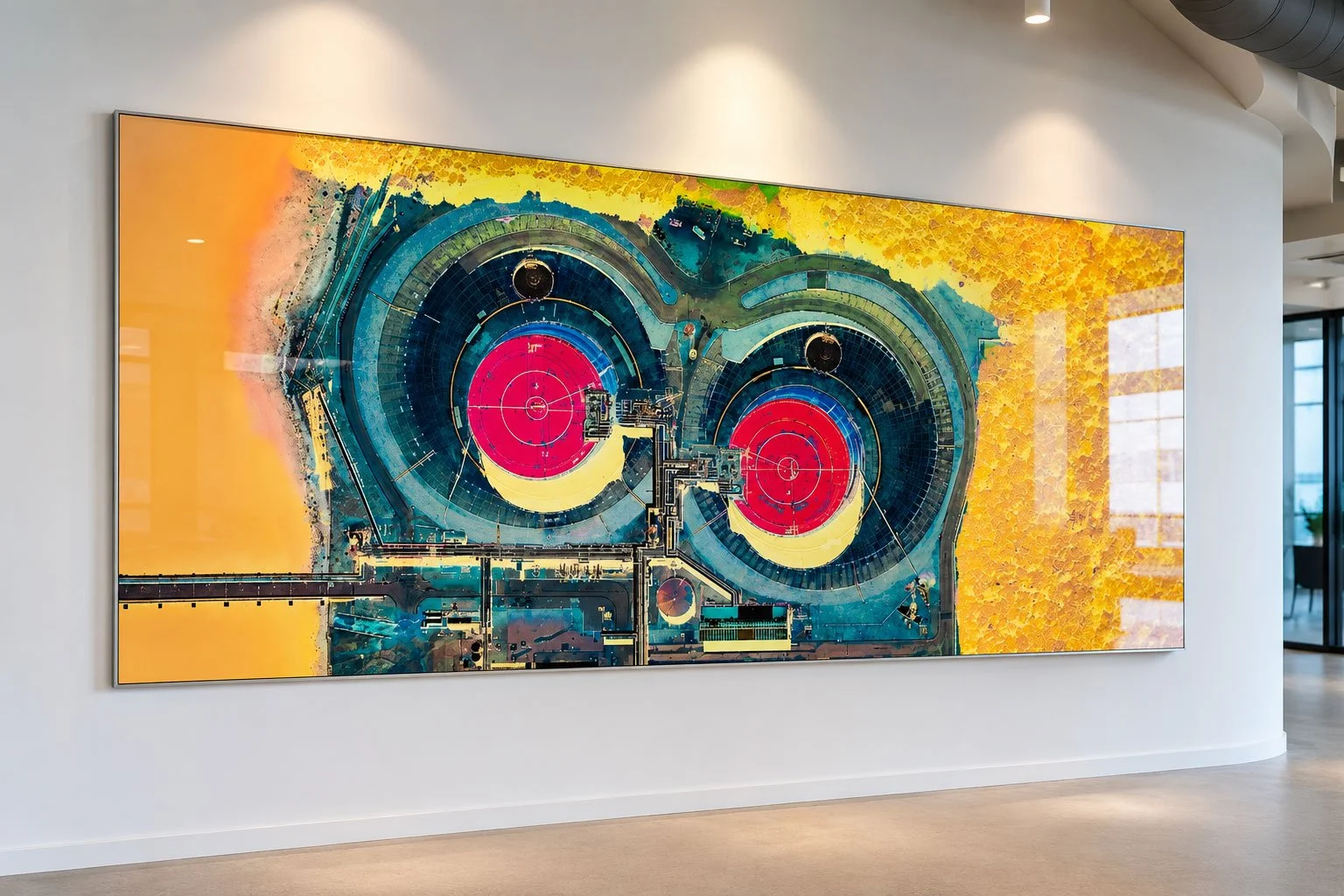
From private collections to monumental installations, ULTRADISTANCIA artworks establish a dialogue between image, scale and architecture.
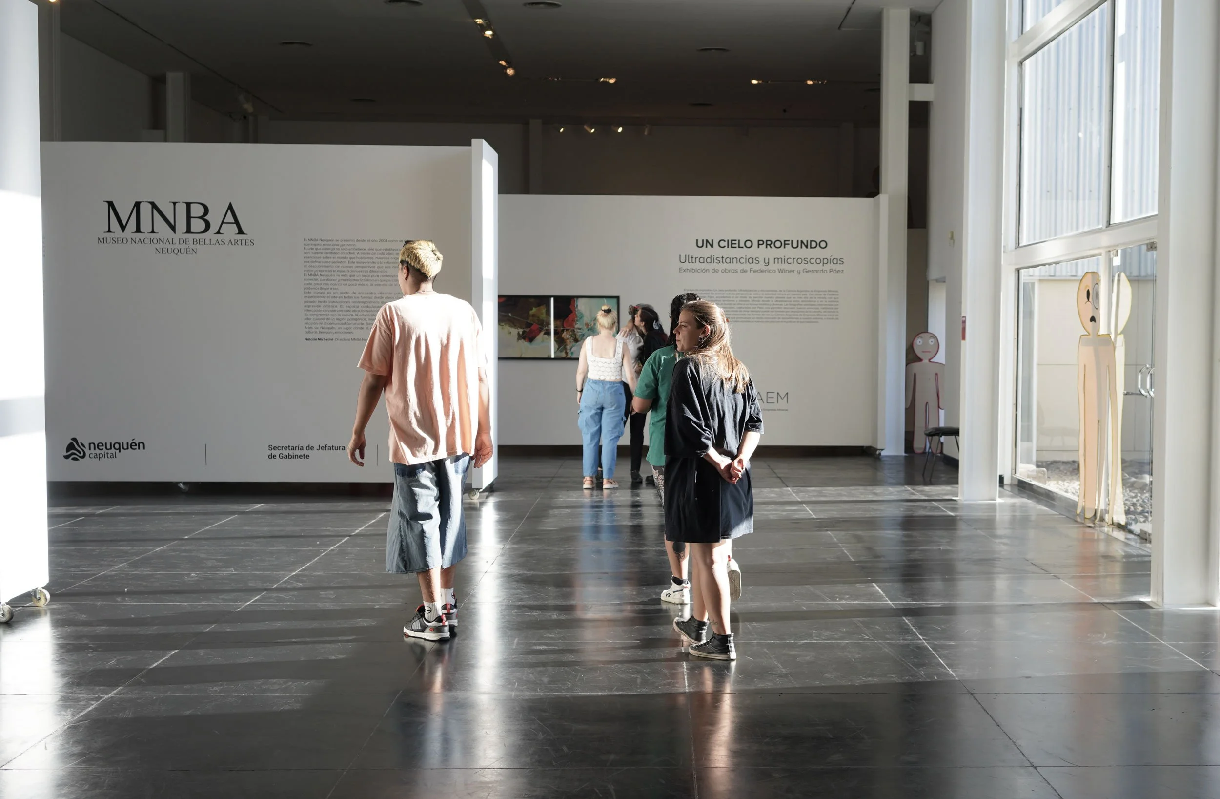
AROUND THE WORLD
ULTRADISTANCIA has been exhibited internationally, bringing new perspectives on geography, landscape and abstraction to audiences around the world.

FEATURED BY