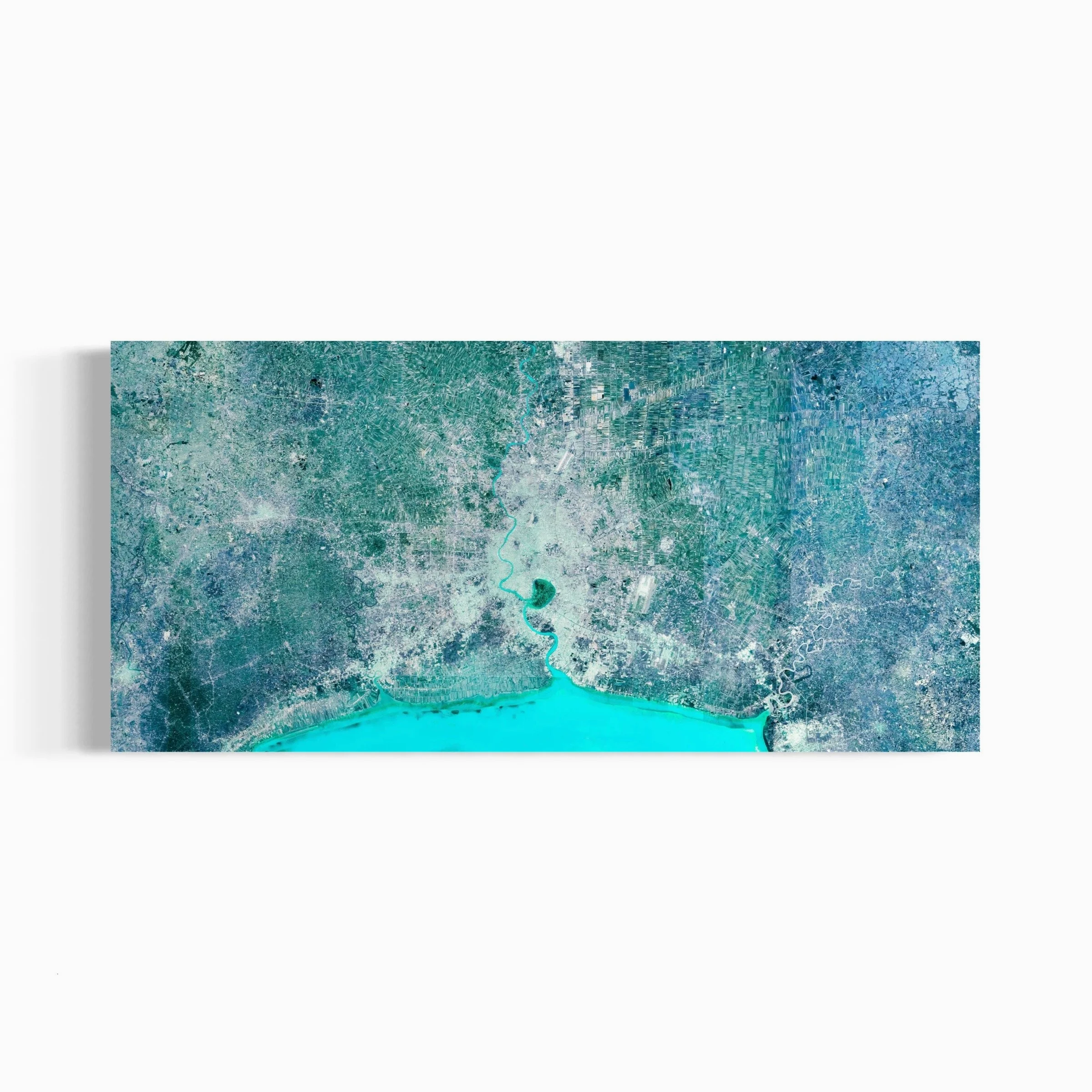
The CLASSIC set of SERIES represents the foundational visual language of ULTRADISTANCIA. Emerging from the early VOYAGER works, the series brings together some of the project’s most iconic images: territories, cities, infrastructures, landscapes, coastlines, deserts, islands, and human-made geometries transformed into contemporary fine art.
VOYAGER was the first series of ULTRADISTANCIA and the origin of the project’s visual language. In 2017, it was invited by Google to be one of the four original stories created for the launch of the new Google Earth, alongside projects by National Geographic, NASA, and the Jane Goodall Institute.
Presented in New York´s Google HeadQuarters as within the official launch, ULTRADISTANCIA VOYAGER appeared as thematic layers within the Google Earth navigation experience, allowing users to travel across the world through routes guided by the aesthetics of ULTRADISTANCIA.
About Ultradistancia Classic Series

“Argentinian artist and photographer Federico Winer uses imagery from Google Earth to play with our perspective on the world. Explore the ways in which color can change a satellite rendering into art”.


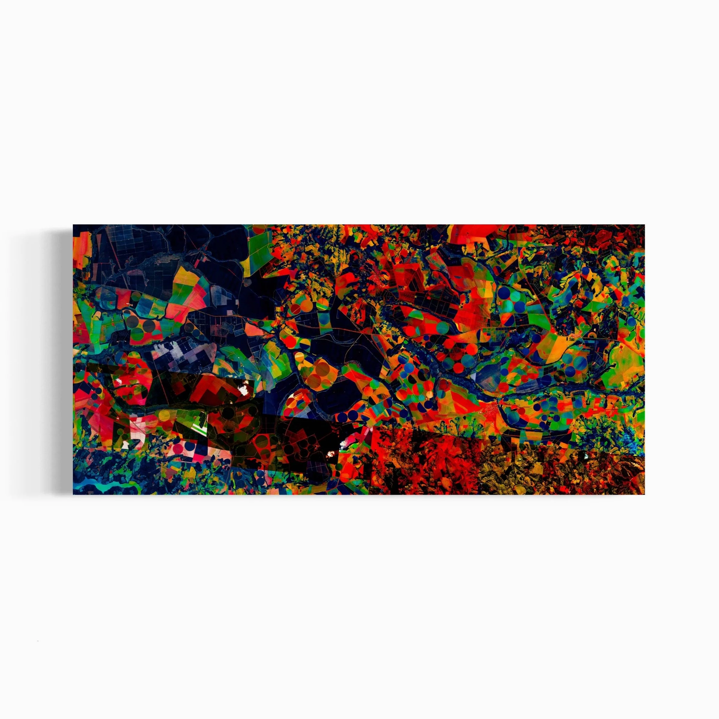
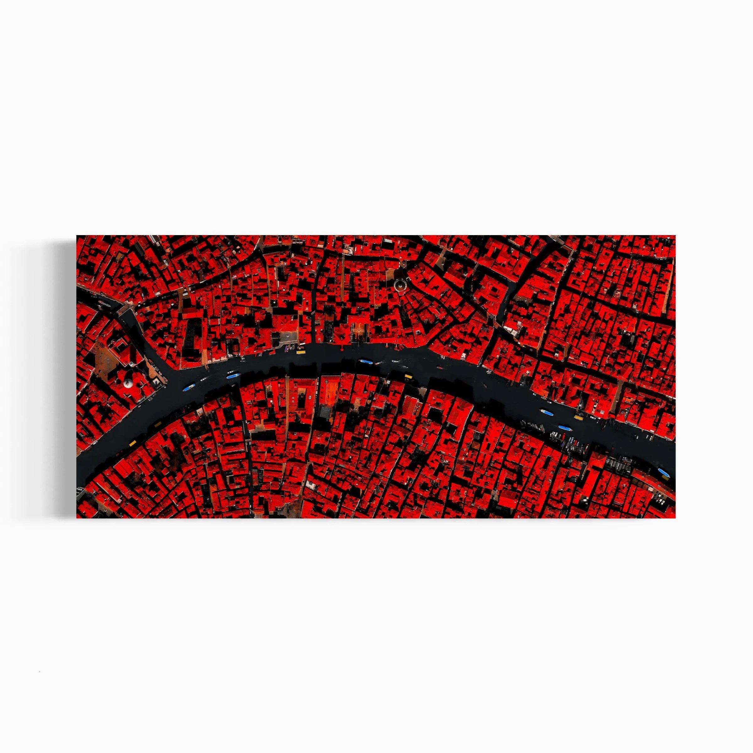
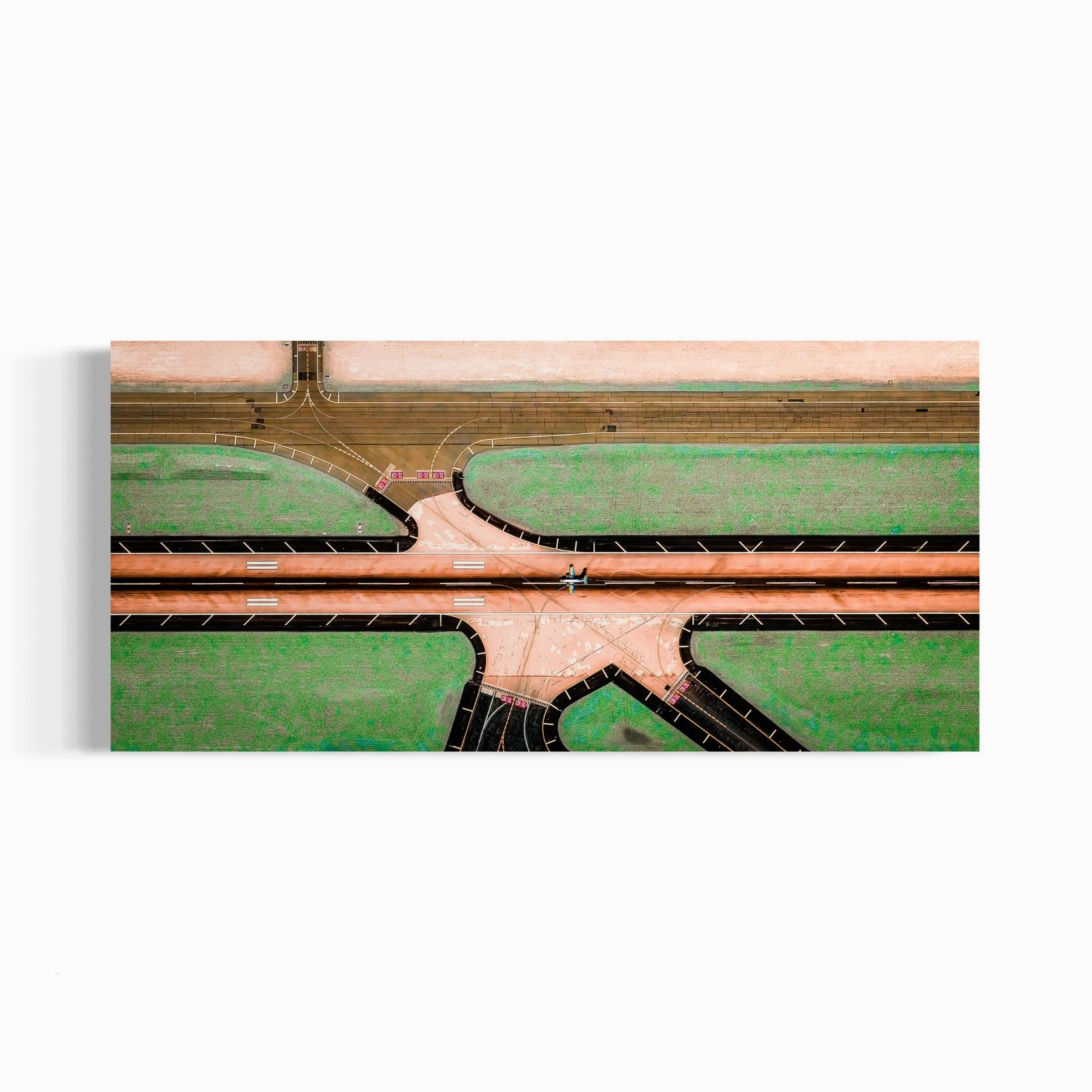
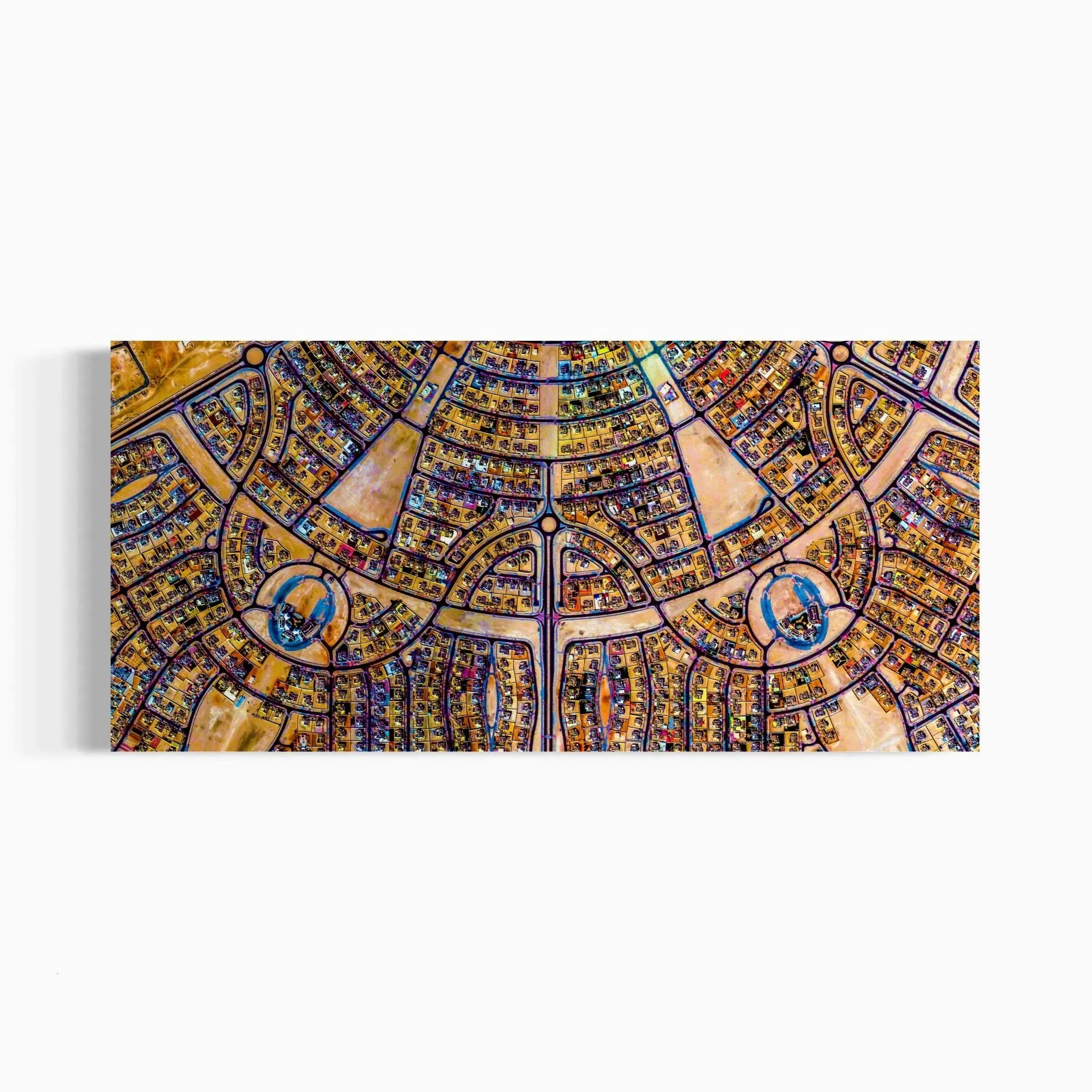
TABARJAL CIRCLES - Al-Jawf, Saudi Arabia. Ultradistancia Voyager, 2016


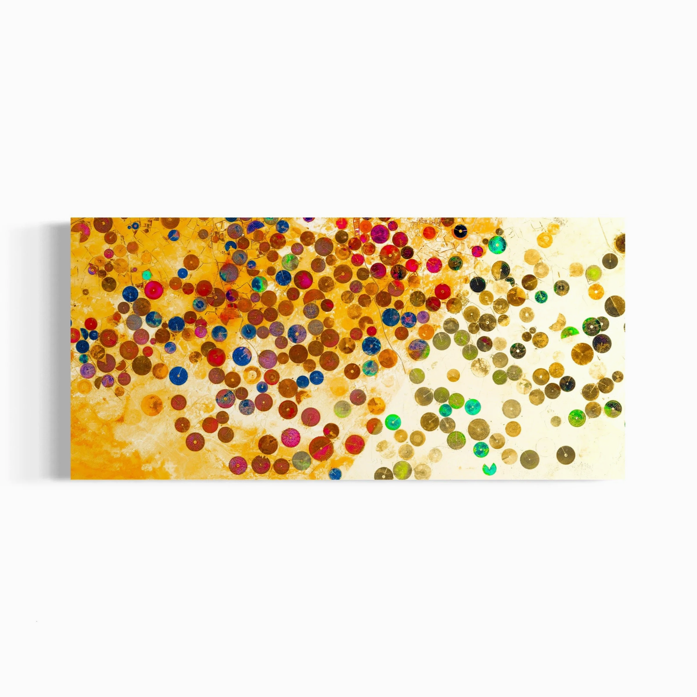
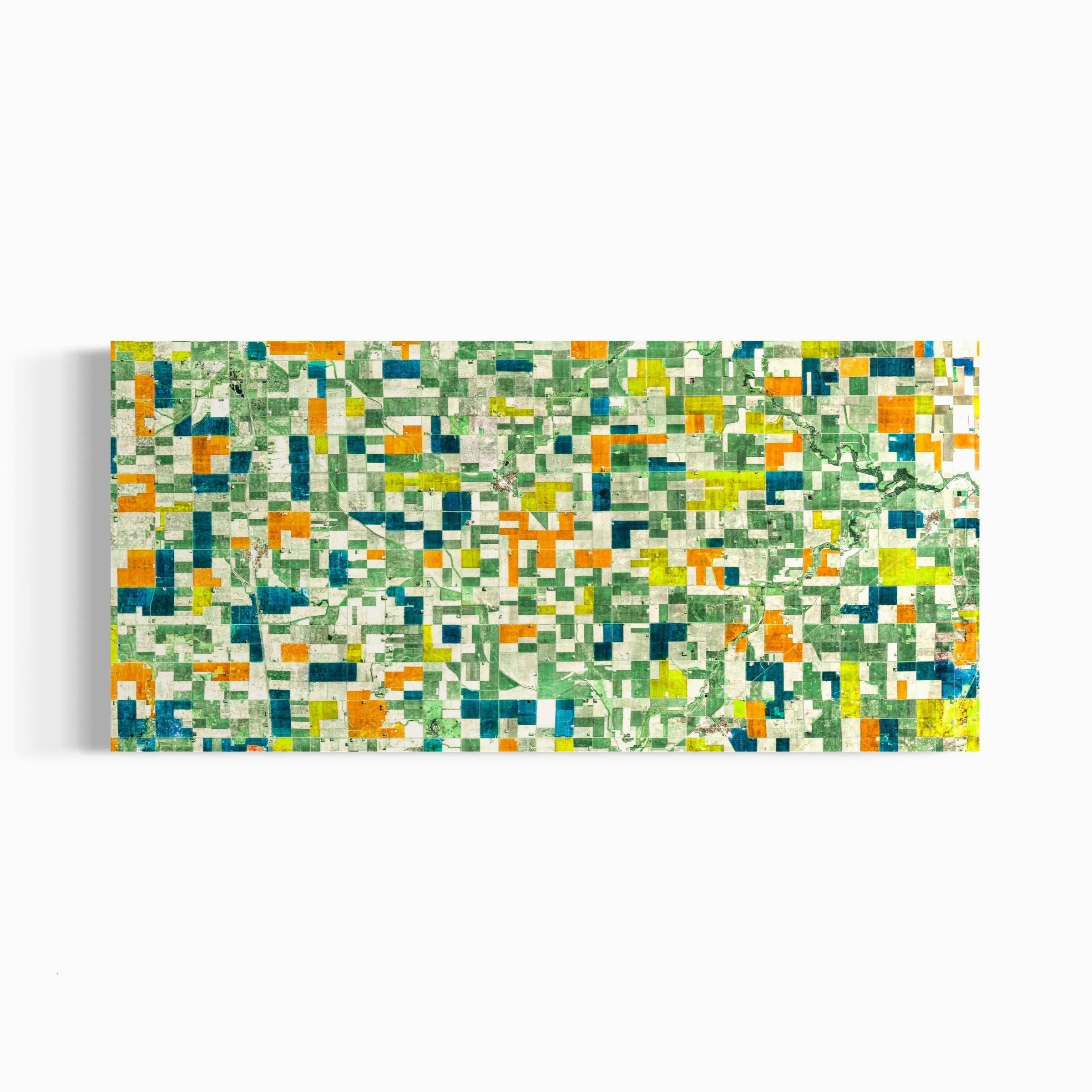
The SELECTED SERIES extends the visual experimentation of ULTRADISTANCIA across the entire planet. Moving beyond the stricter geometries of earlier works, the series explores the textures of terrestrial formations, unusual patterns in nature, and the unexpected structures produced by human intervention. Deserts, rivers, mountains, fields, coastlines, cities, infrastructures, and remote territories become part of a wider visual archive, where satellite imagery is approached as raw material for abstraction, composition, and discovery.


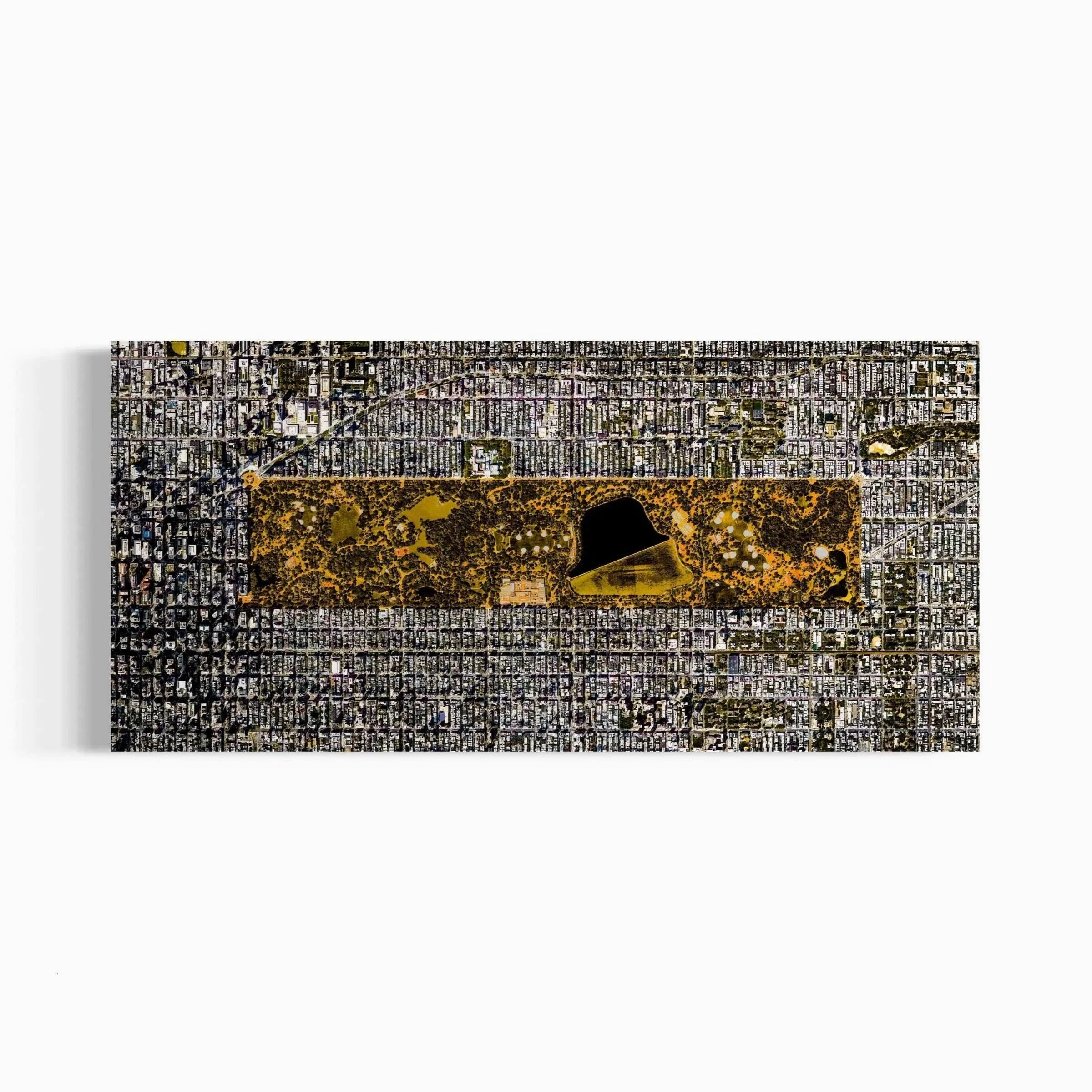
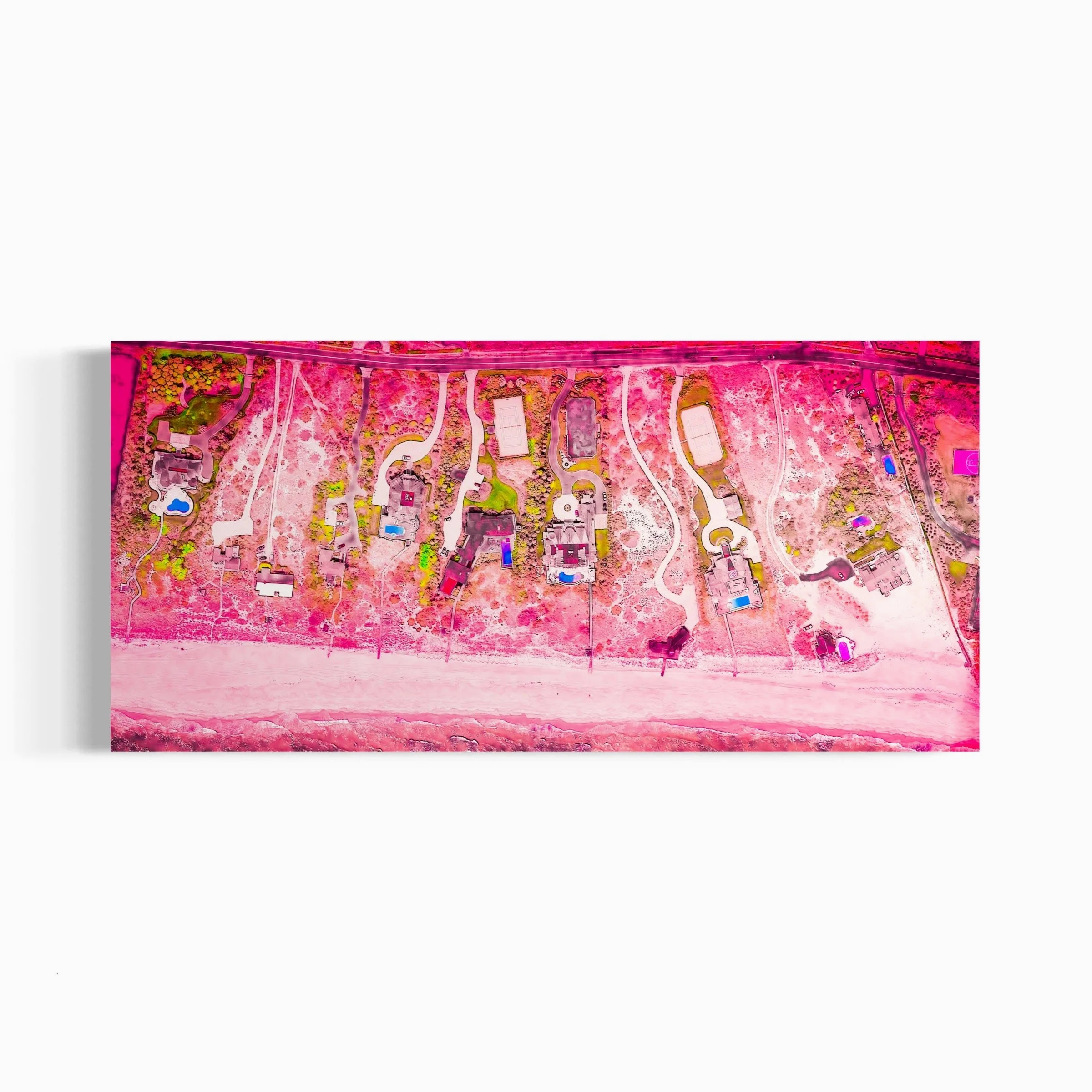
MARTHA´S VINEYARD I. Massachusetts, USA. - Ultradistancia Selected, 2017
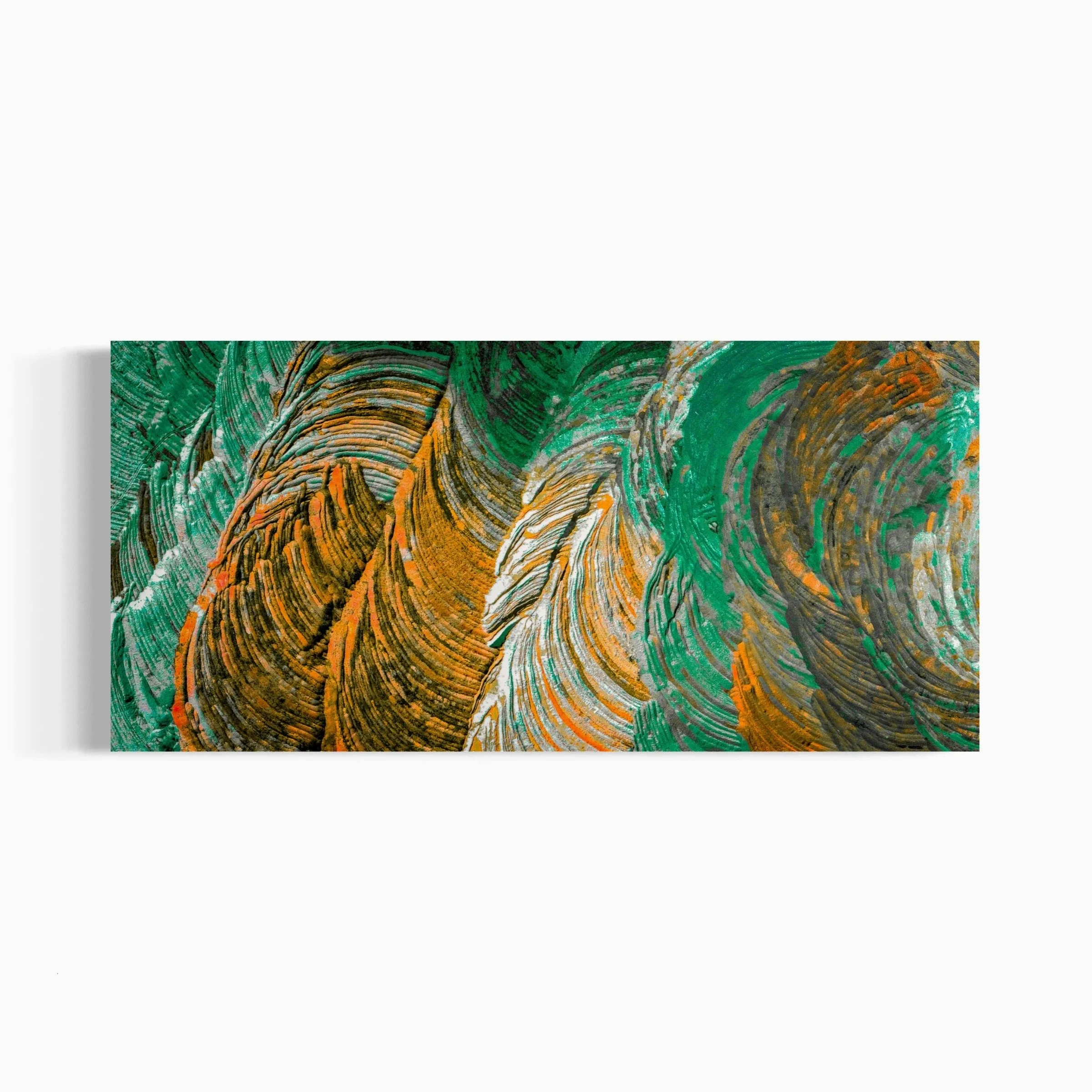
The BLACK SERIES introduces a more complex and radical construction process. By isolating, contrasting, and reworking forms found within geography, the series transforms fragments of the Earth into autonomous aesthetic figures. These shapes, detached from their original context, appear almost as characters, signs, organisms, or imagined presences emerging from the landscape.

LENS CULTURE MAGAZINE about the Black Series link


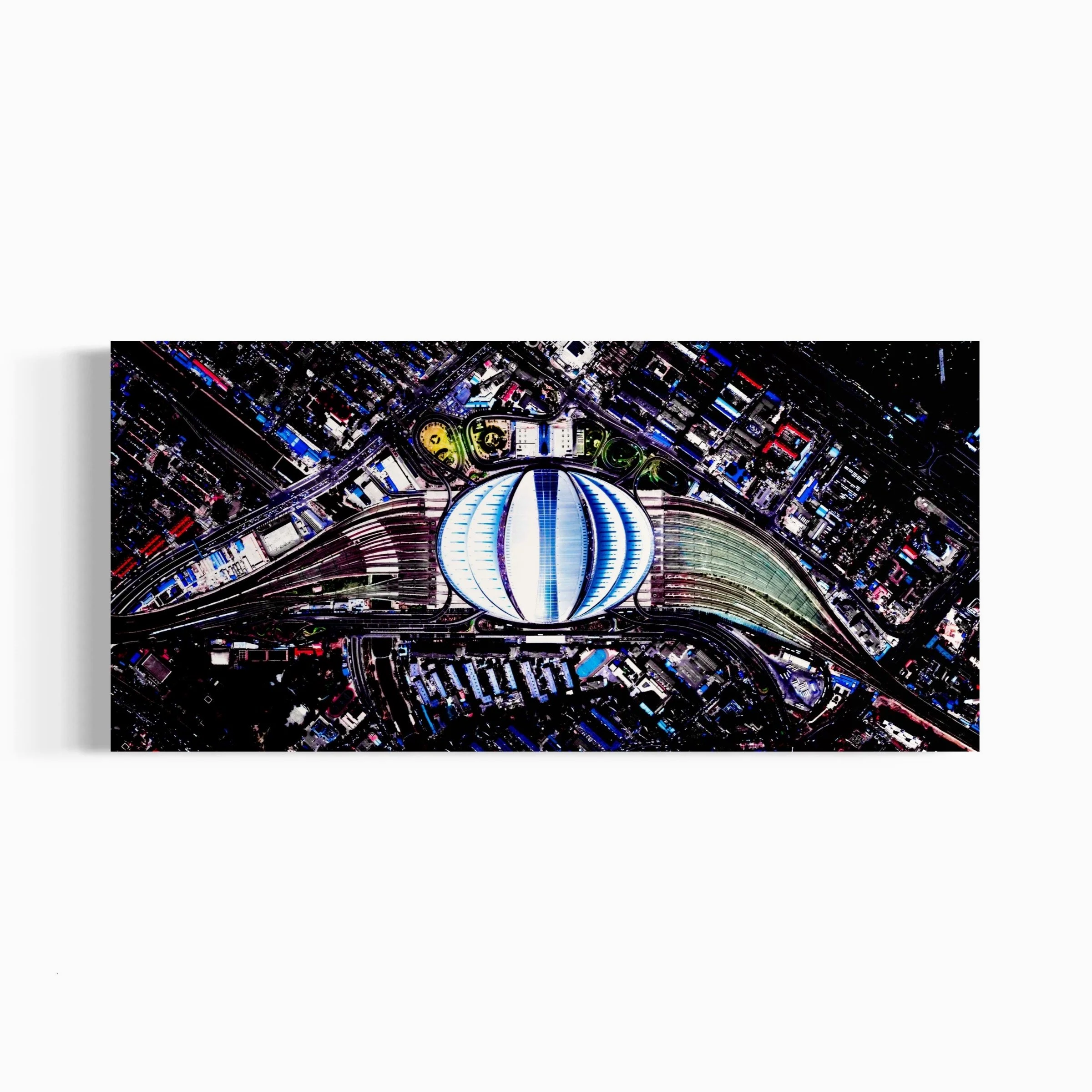
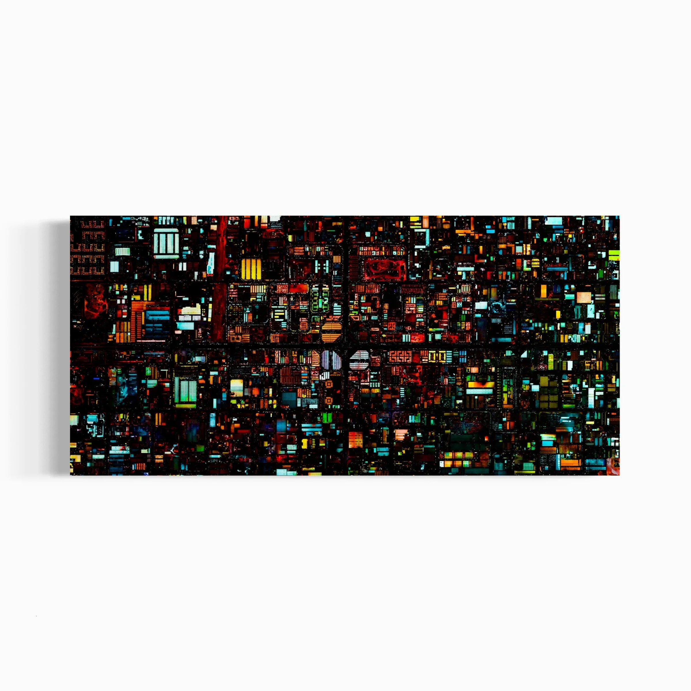
NEW YORK ALIEN FACE - New York, USA. - Ultradistancia Black, 2018
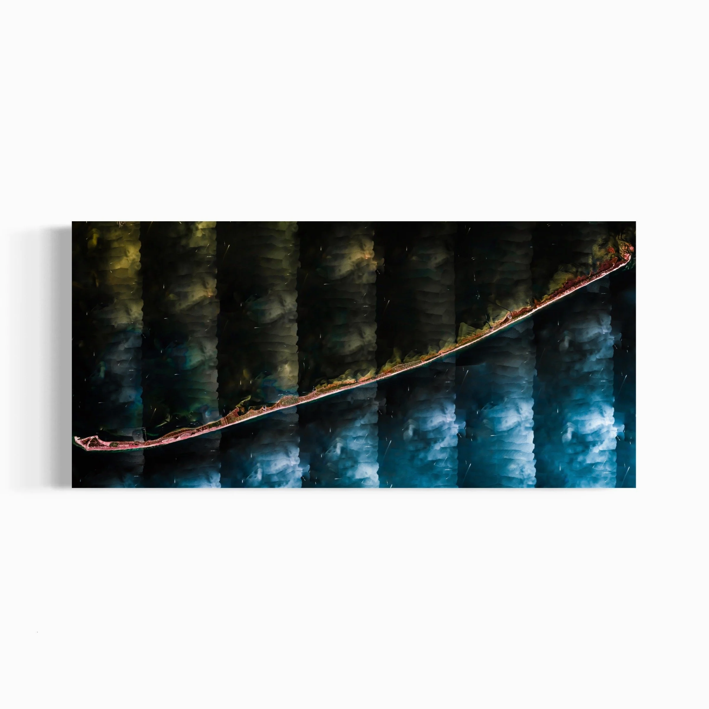
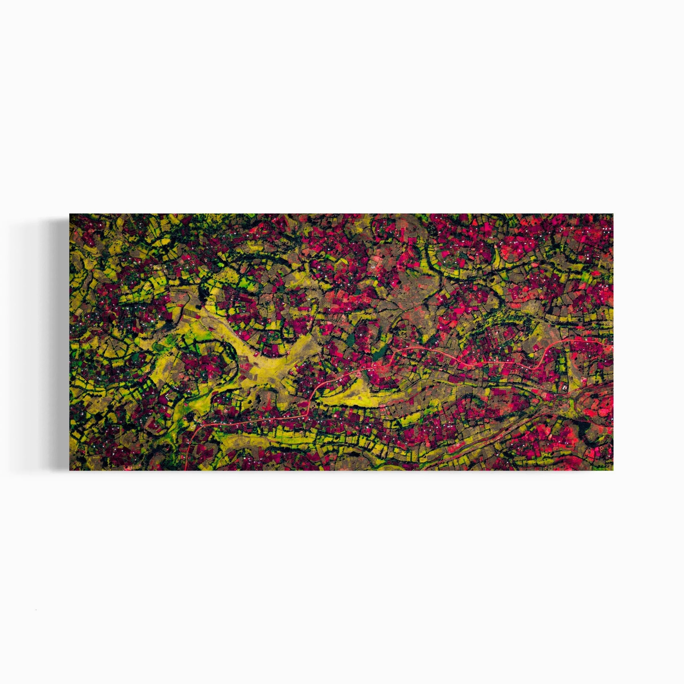
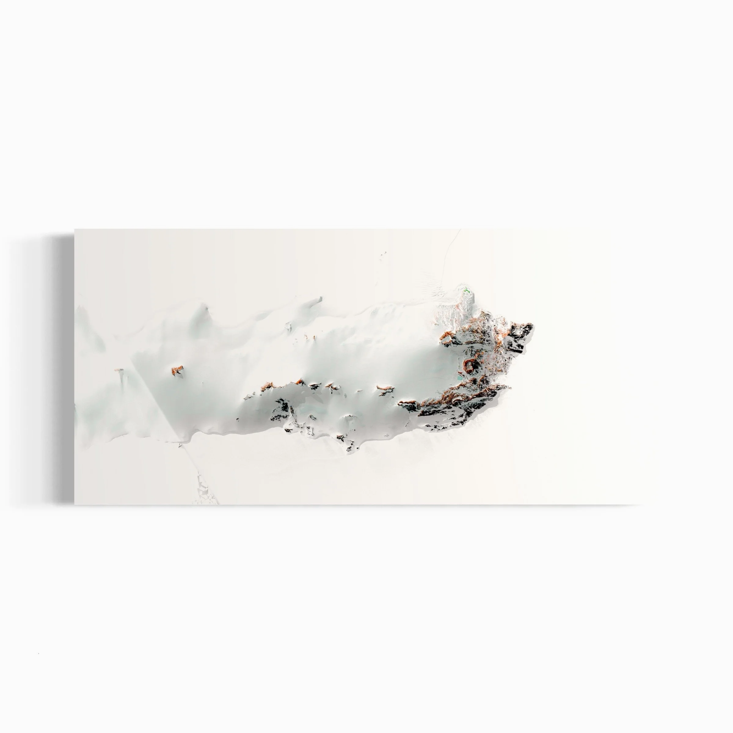
ANTARNES II. Gujarat, India. - Ultradistancia Selected, 2017
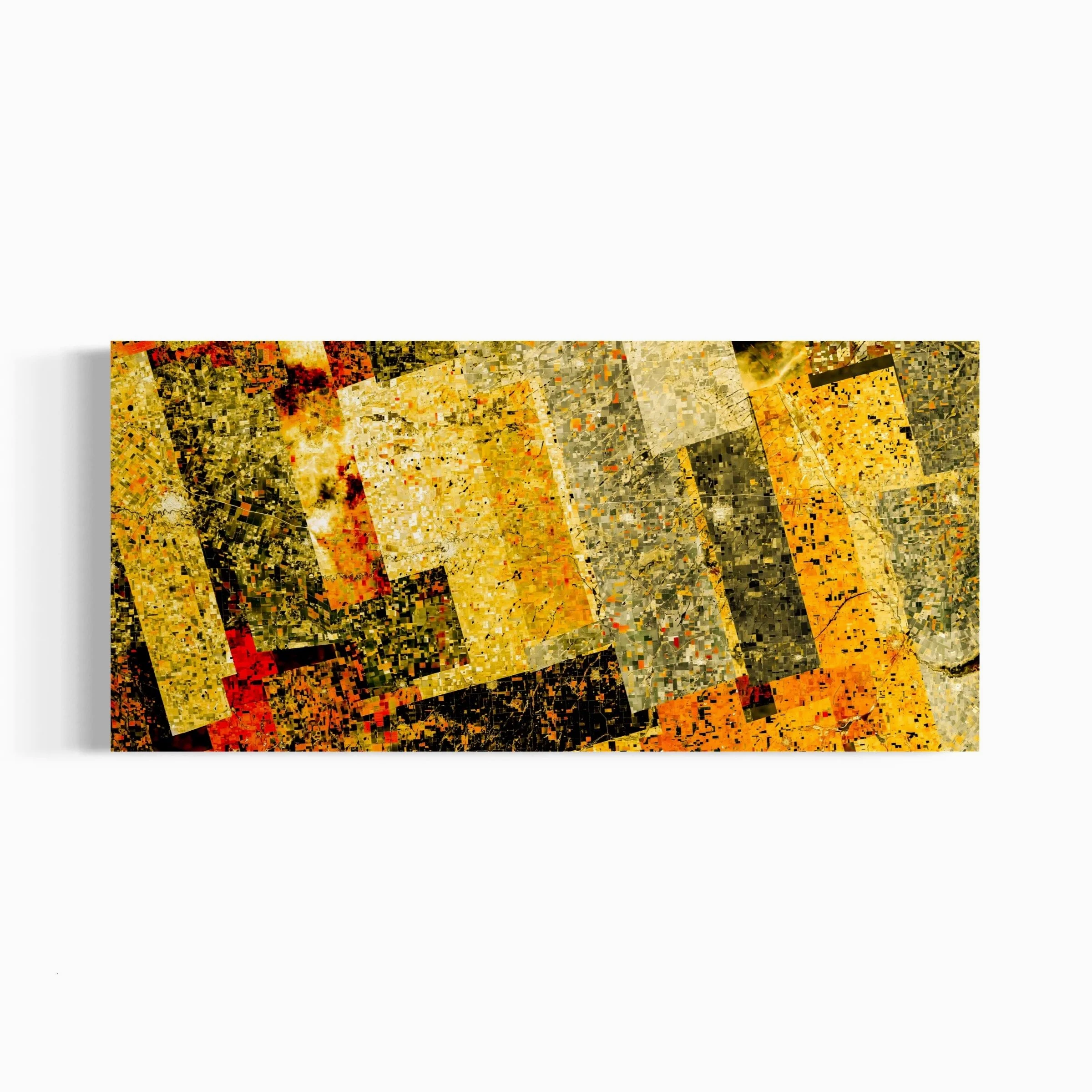
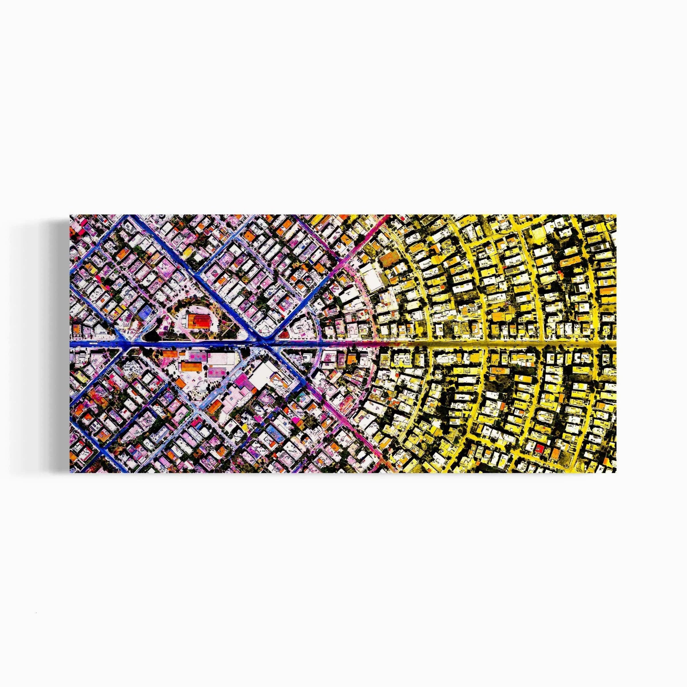
BAHRIYA - Doha, Qatar. - Ultradistancia Black, 2016