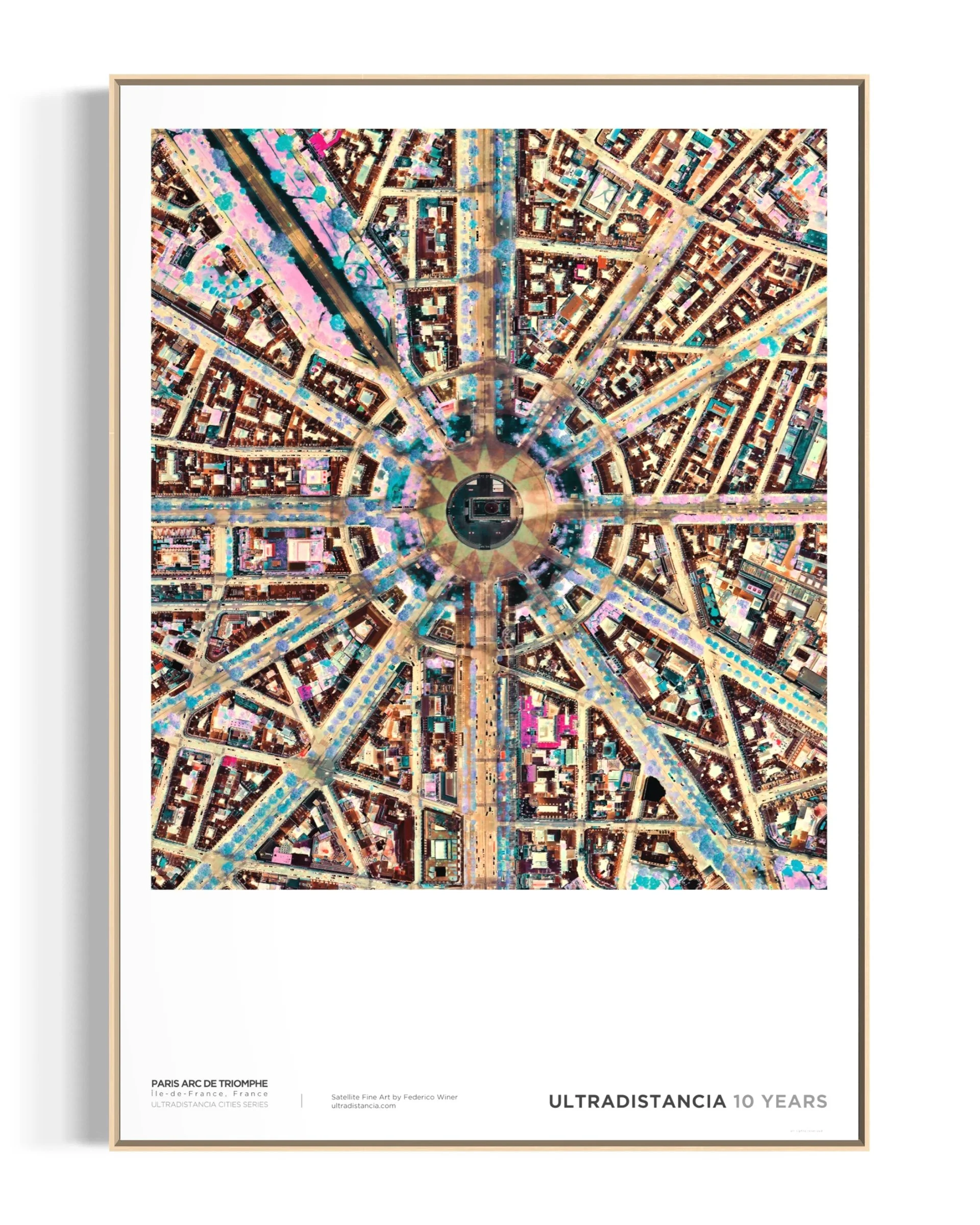
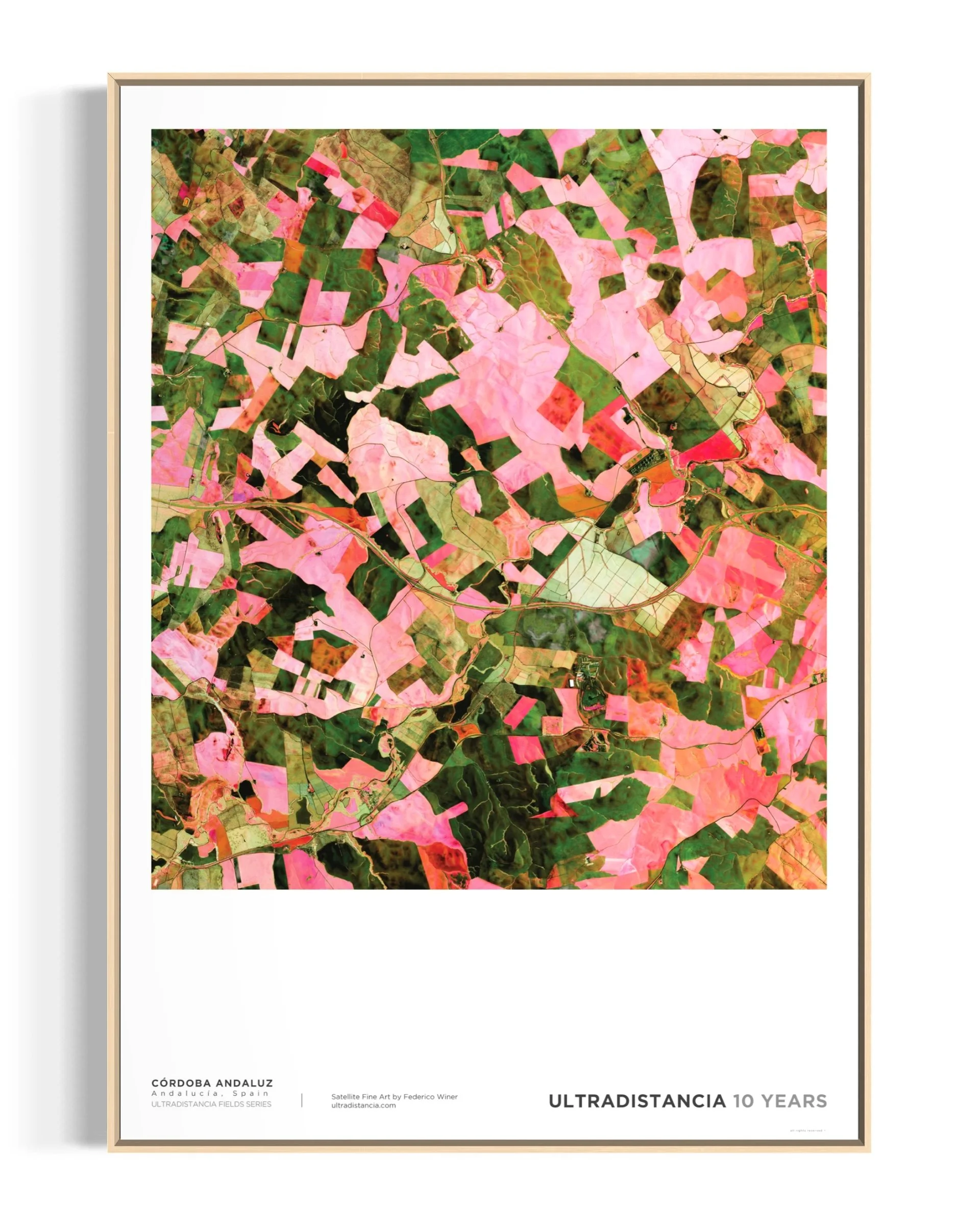
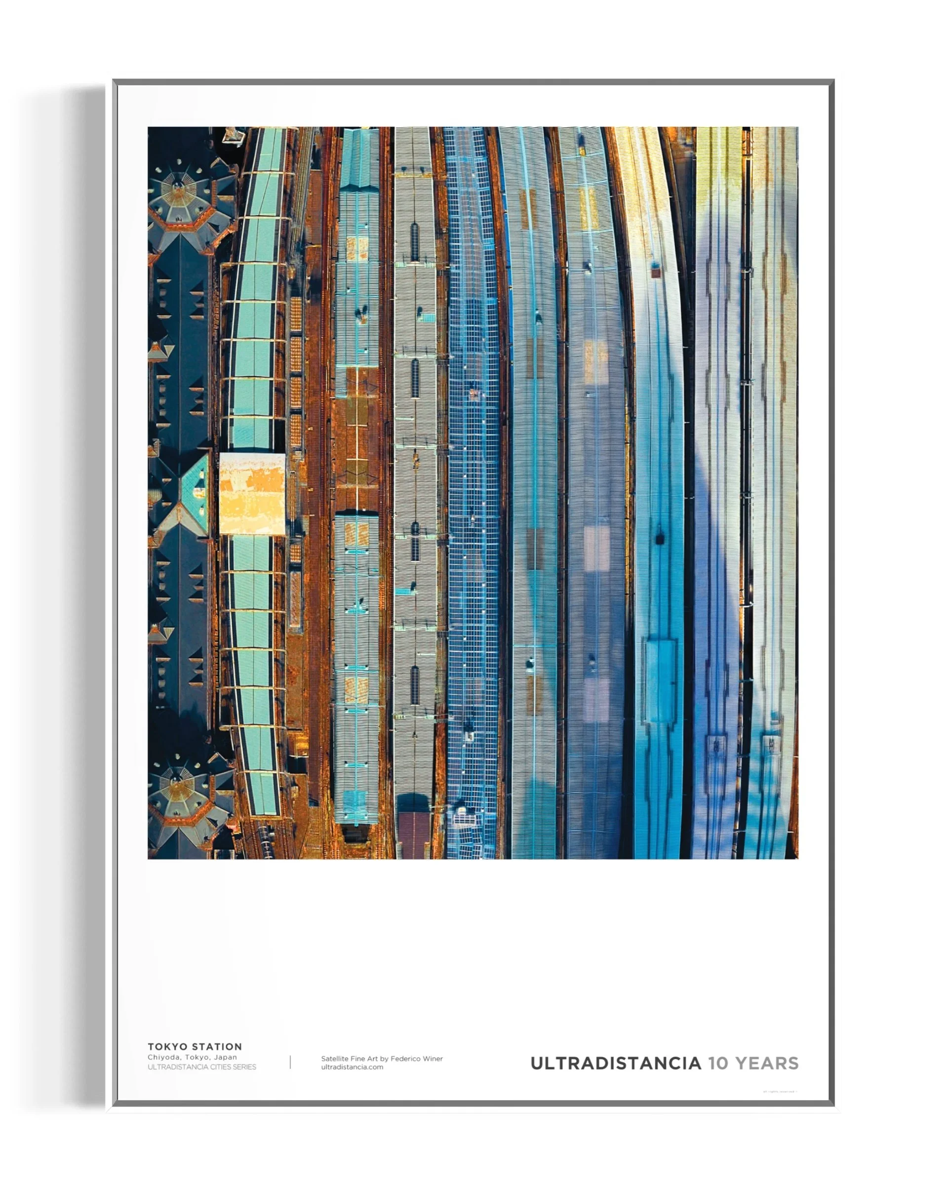
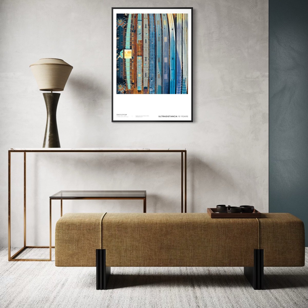
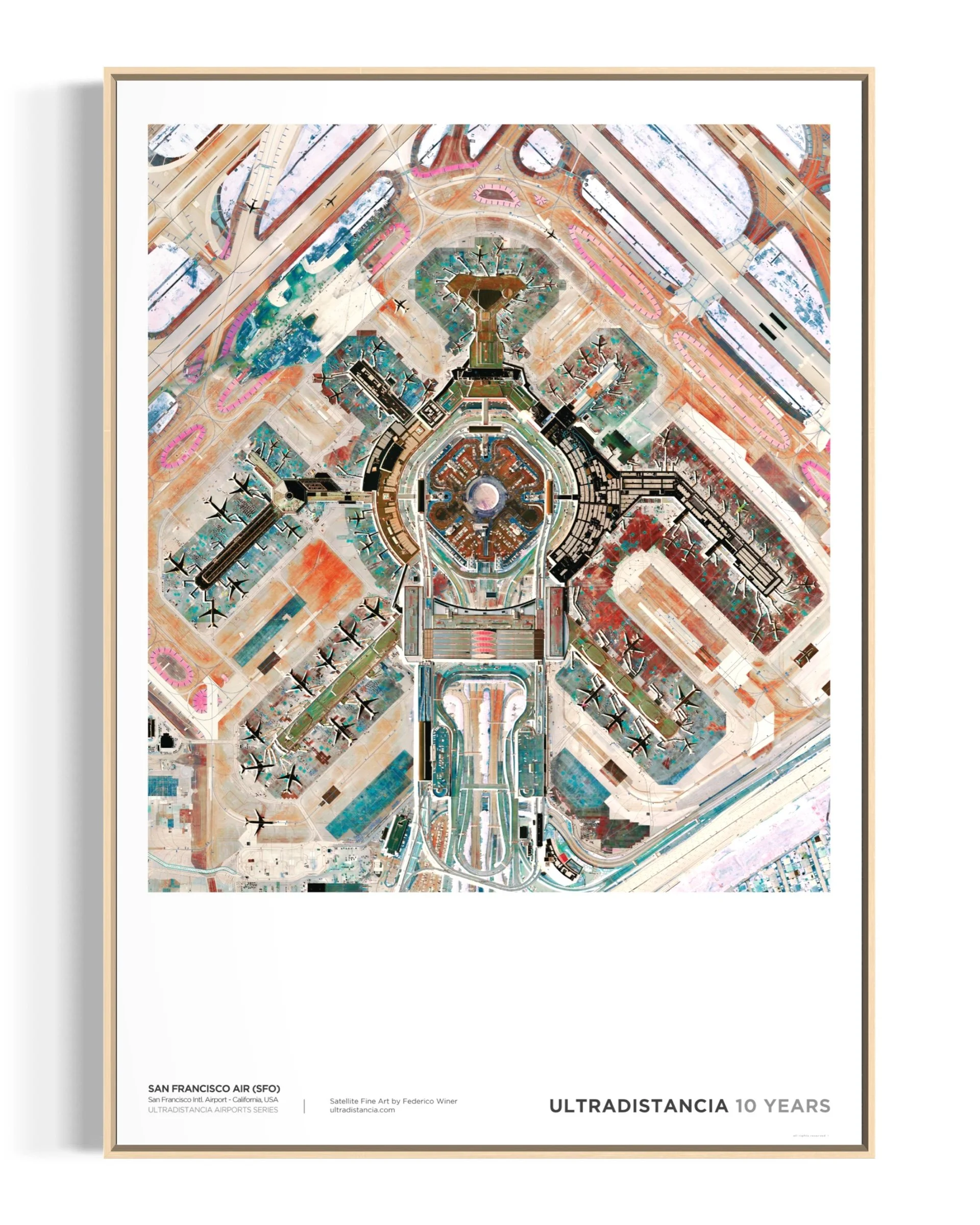
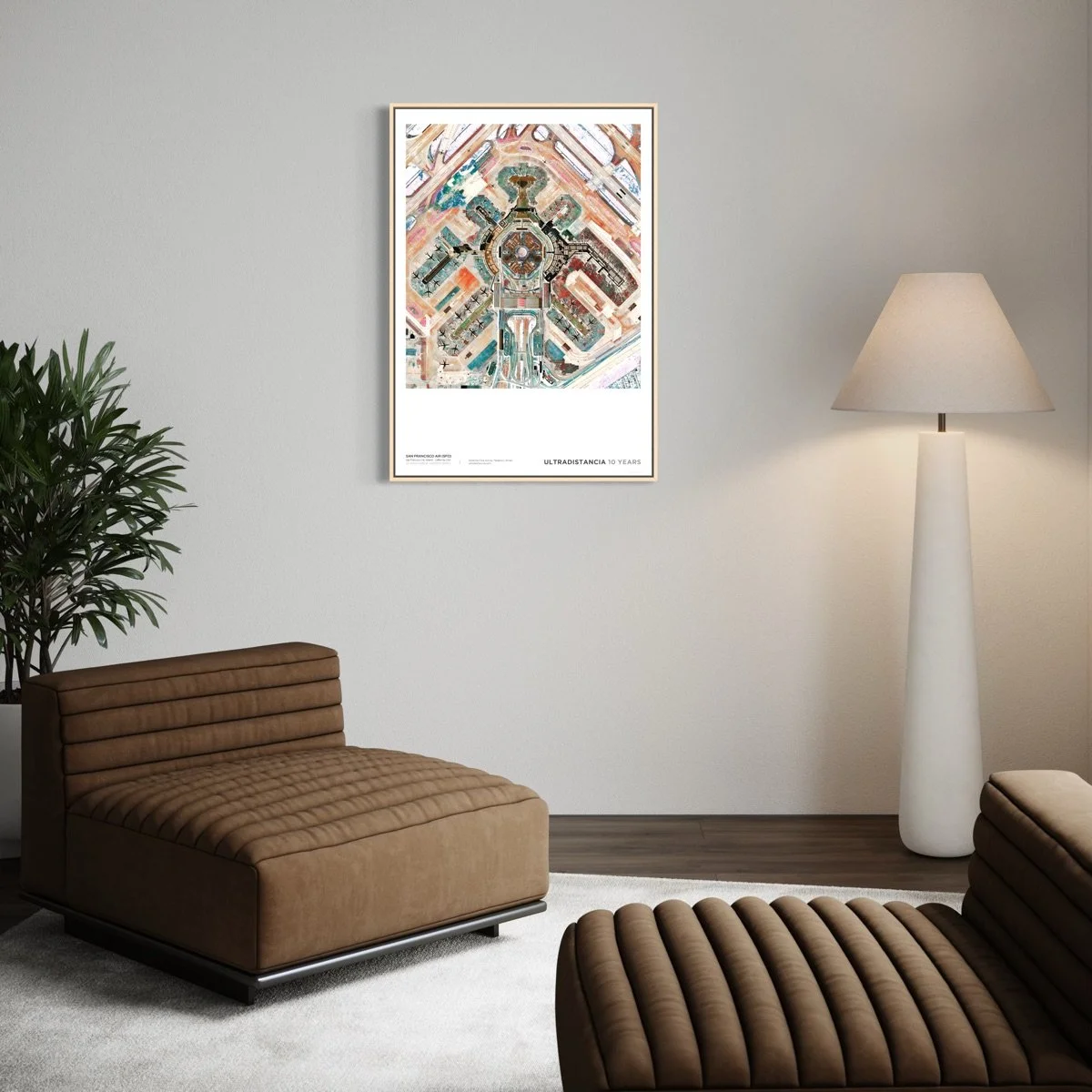
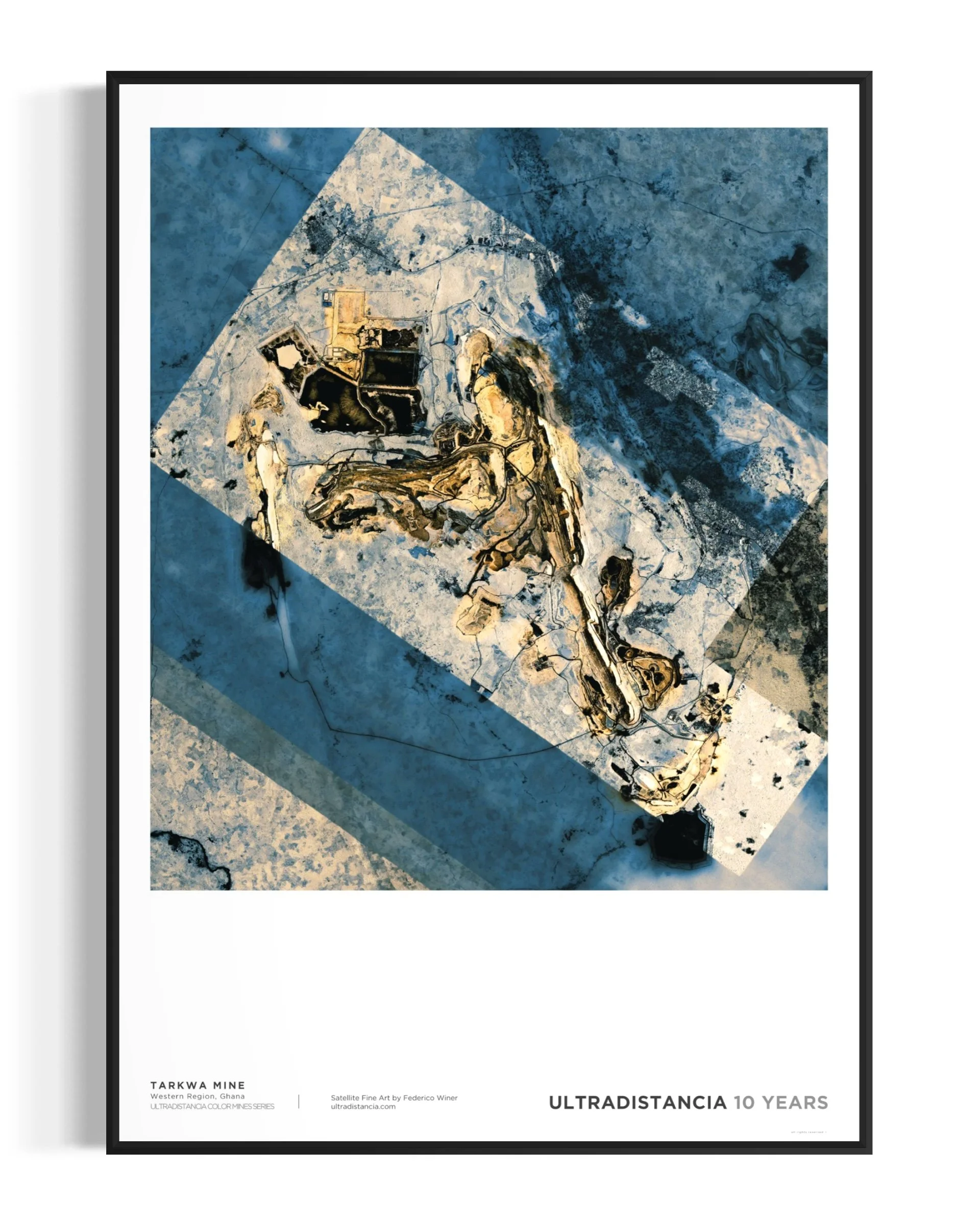
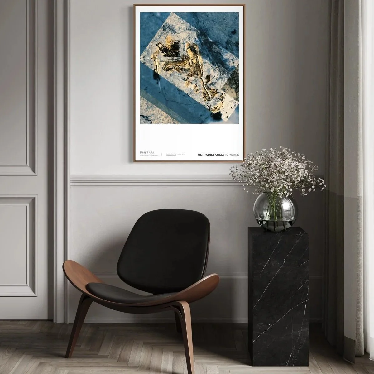
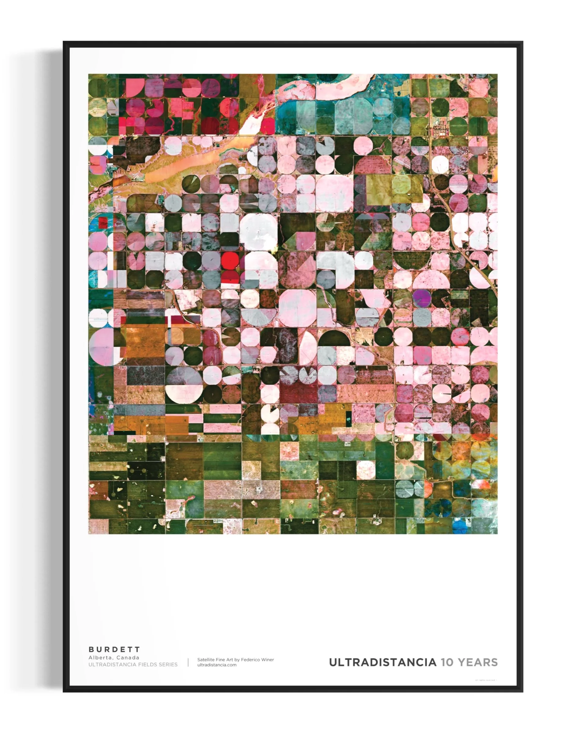
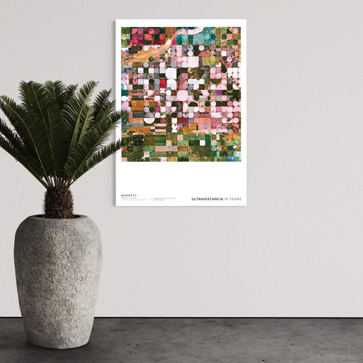
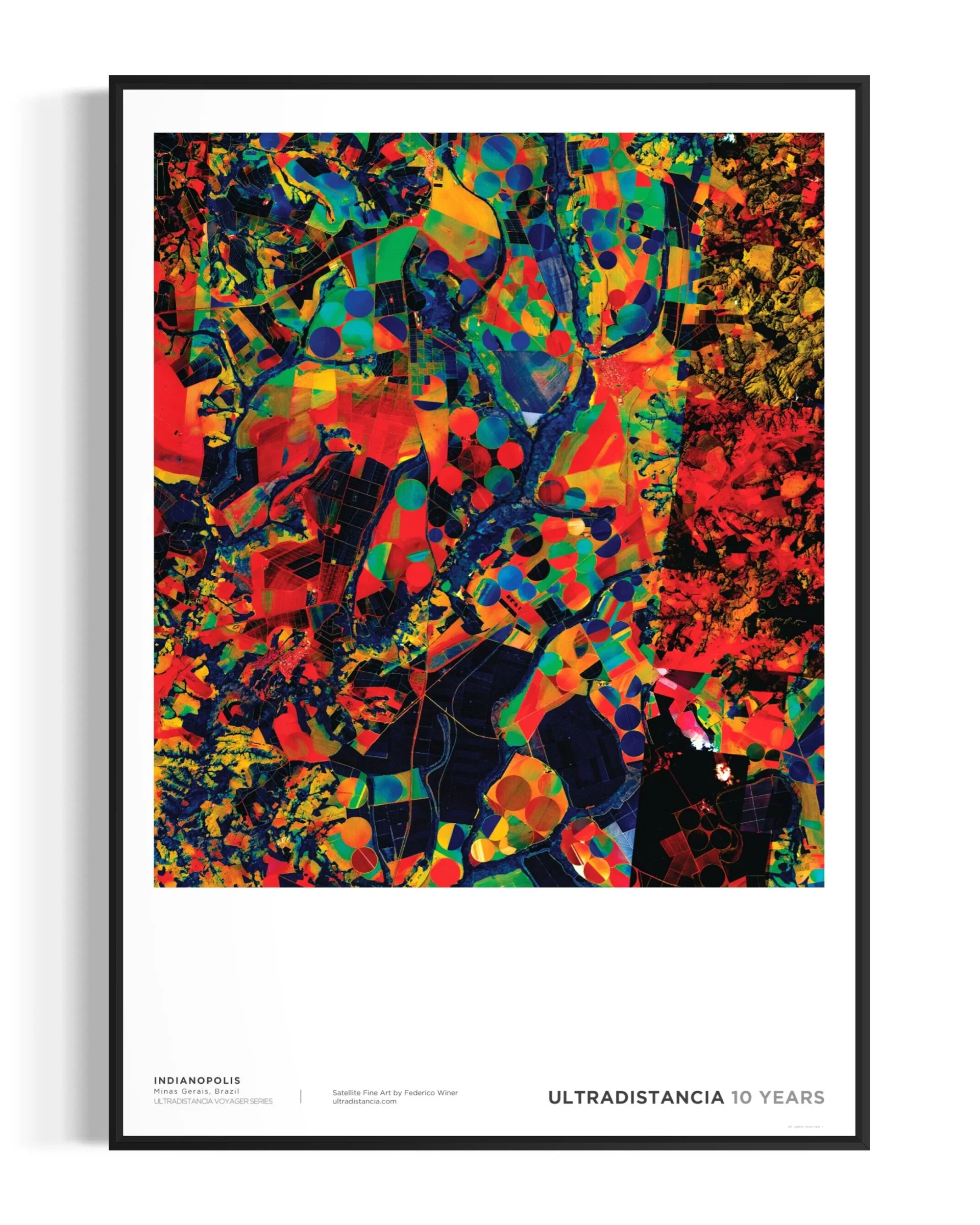
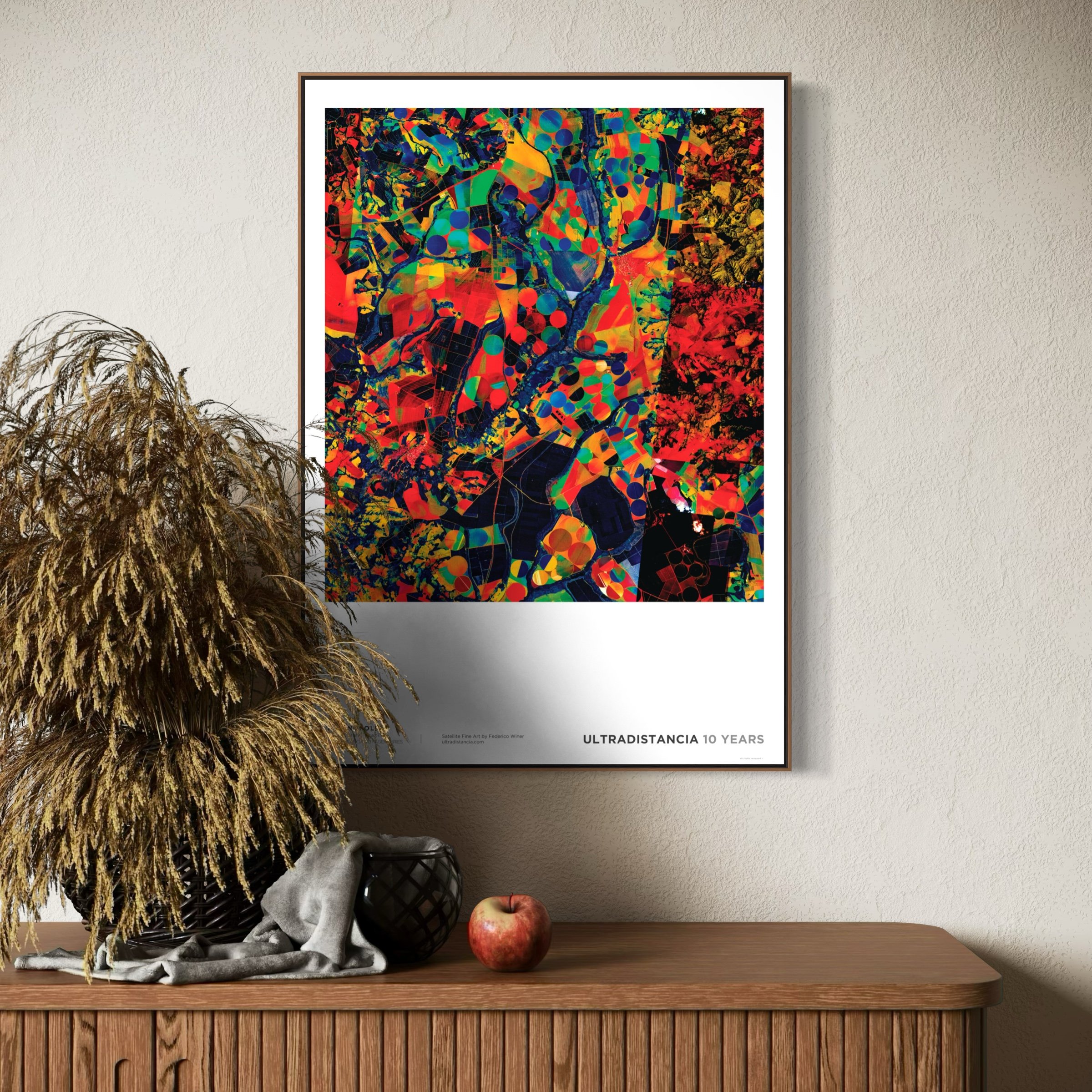
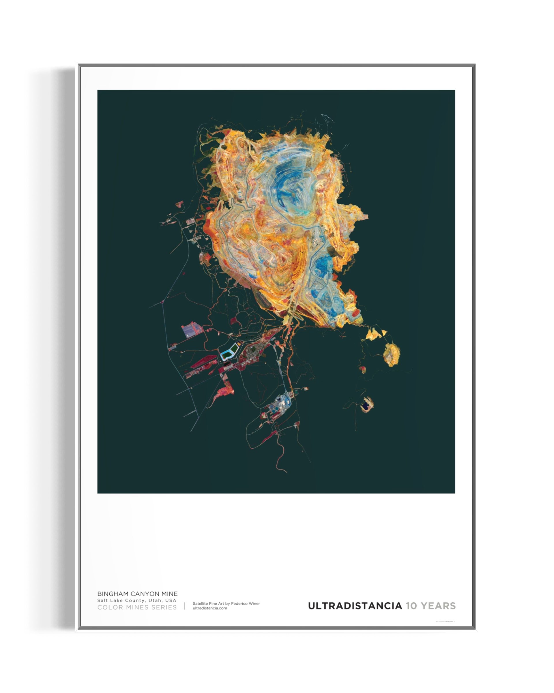
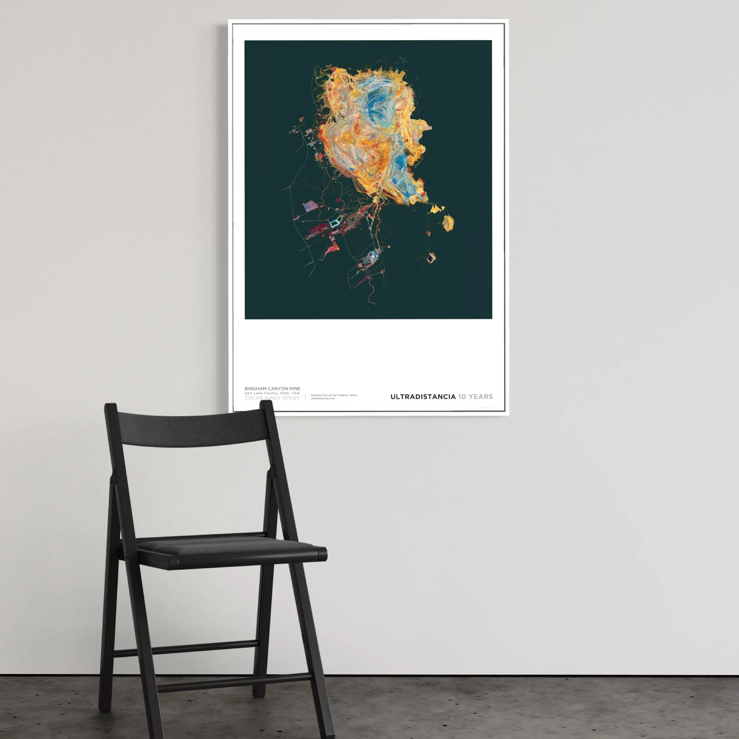
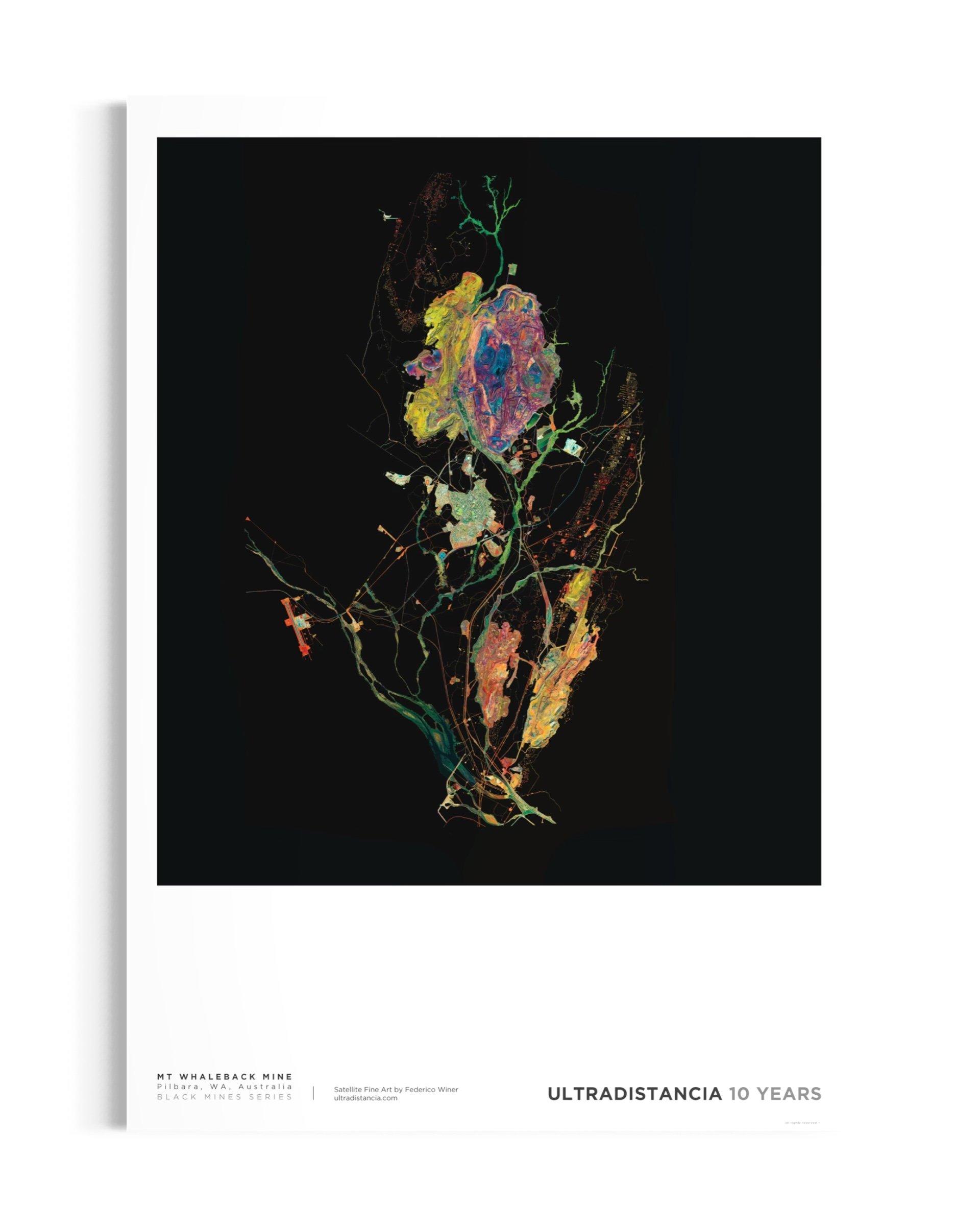
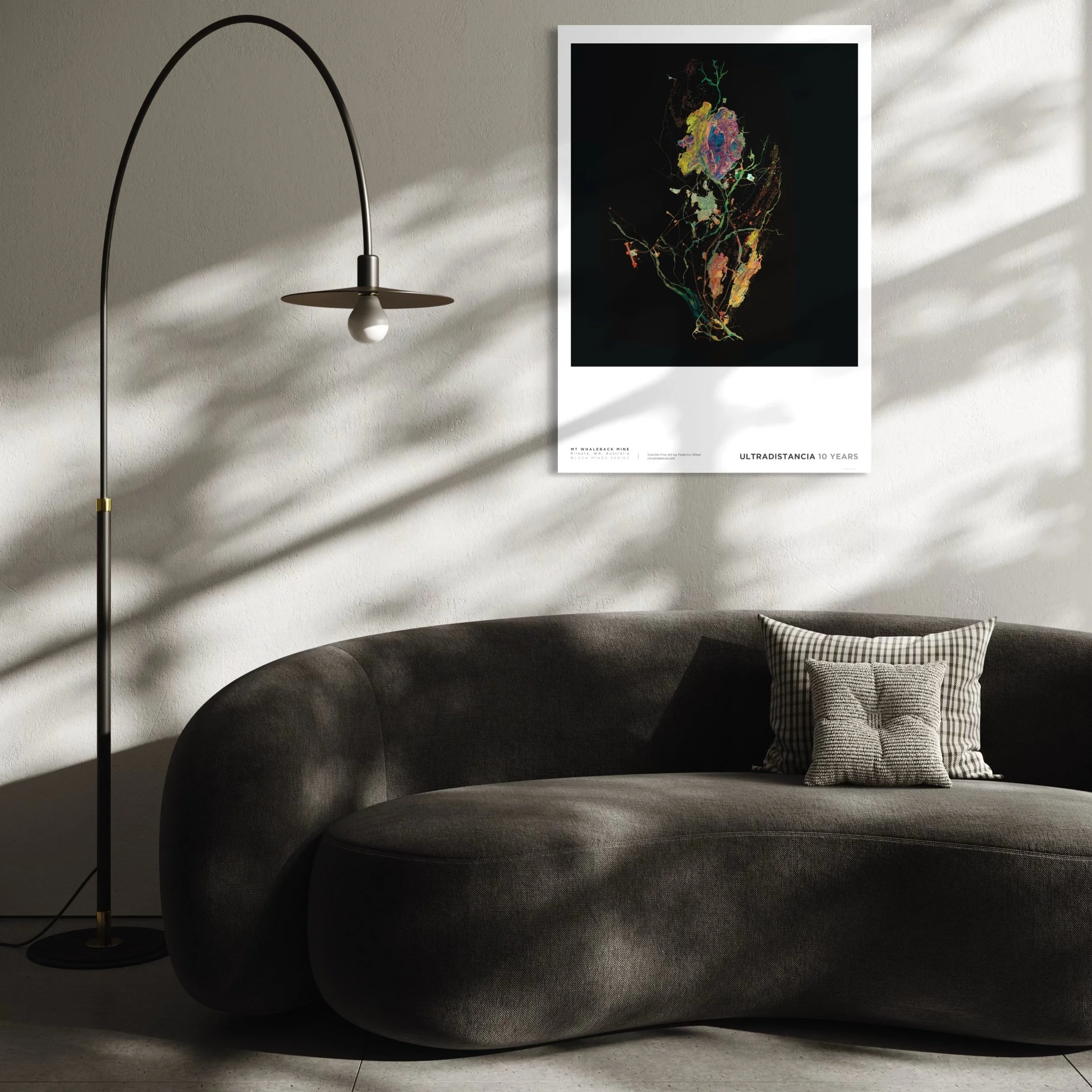
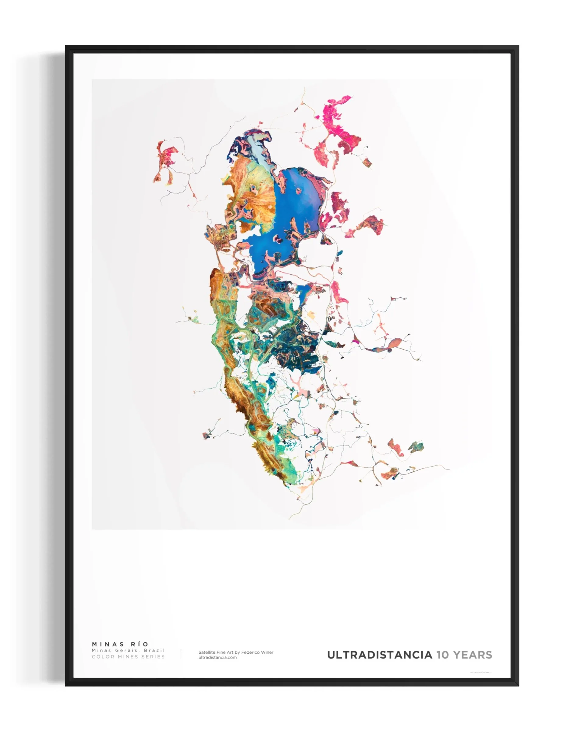
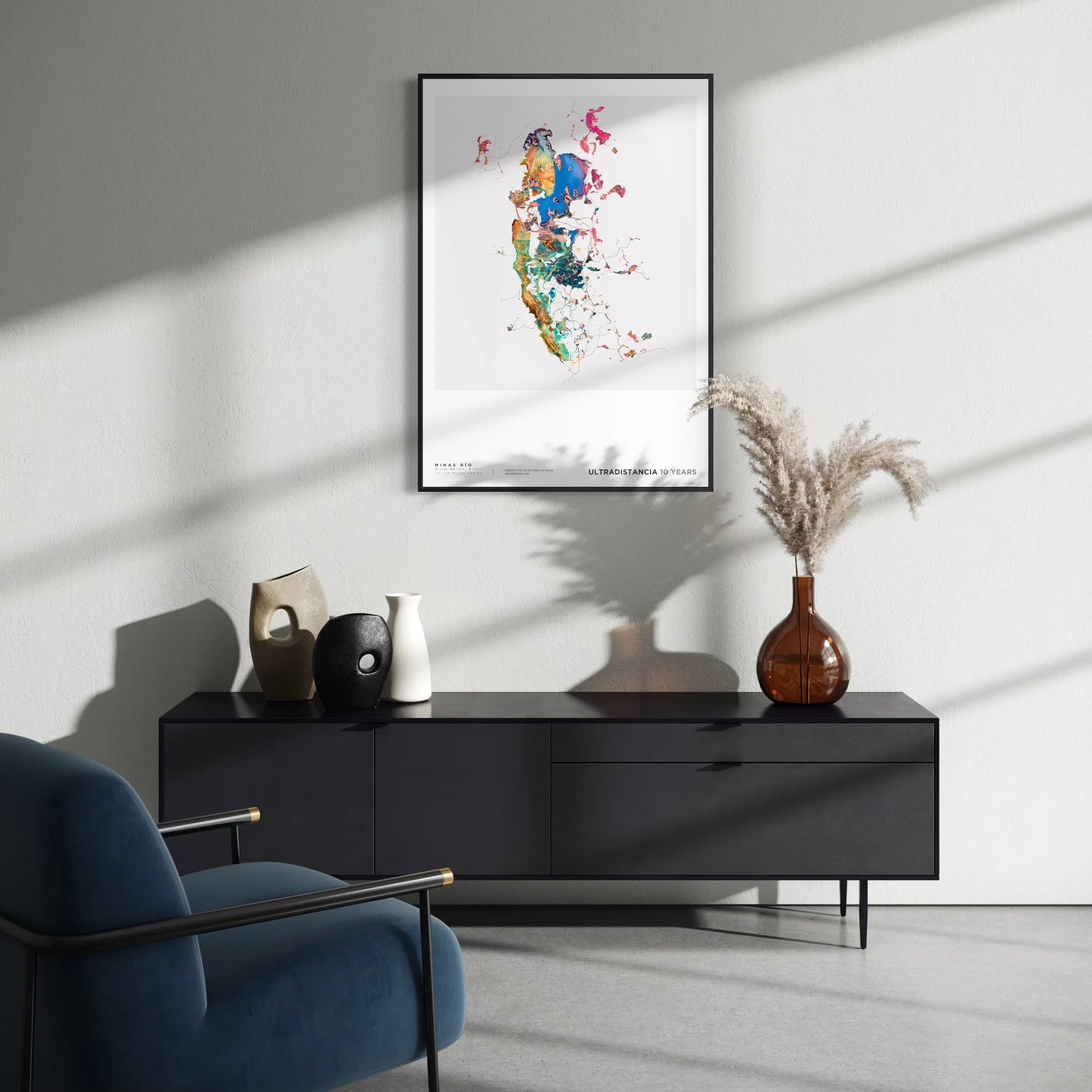
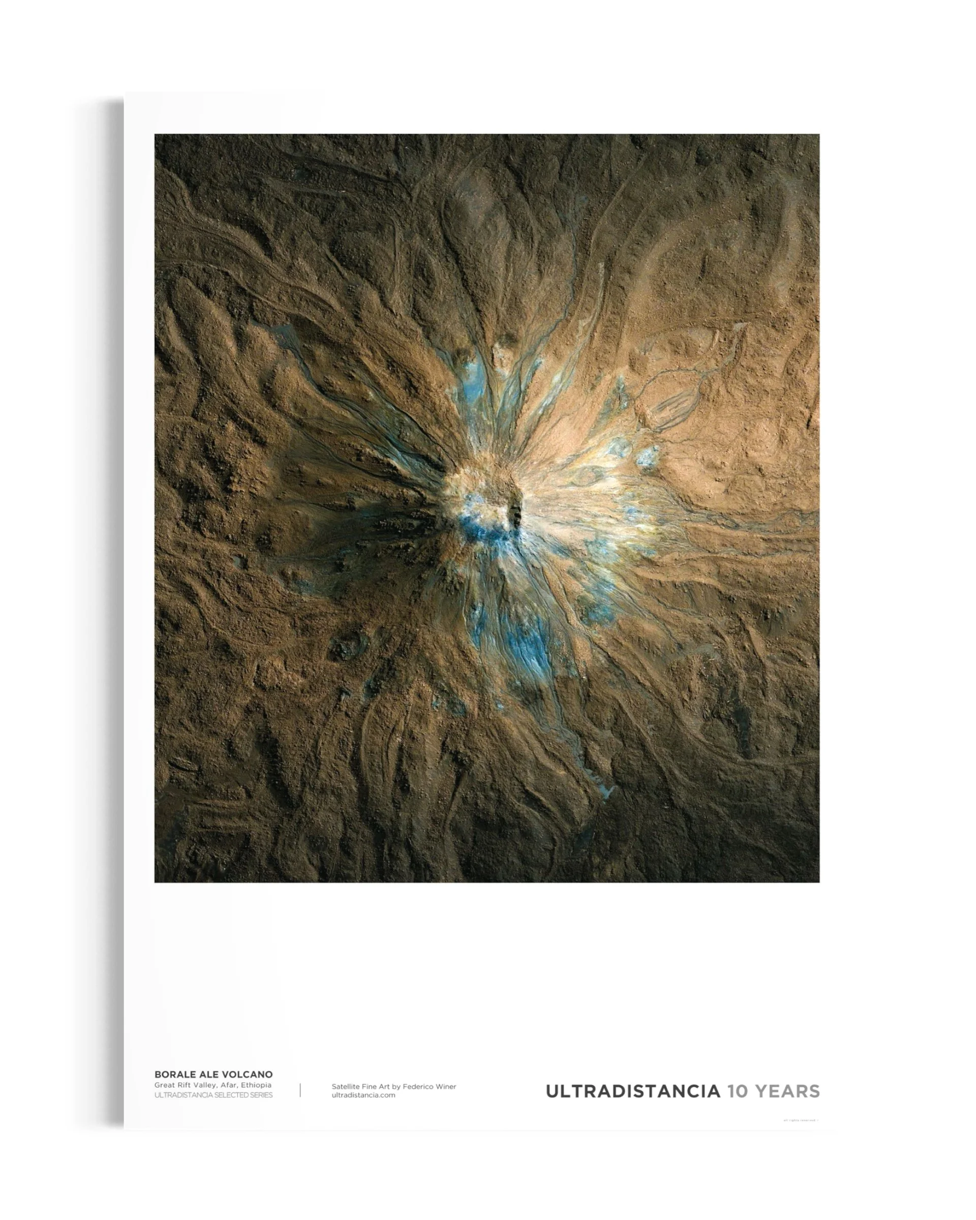
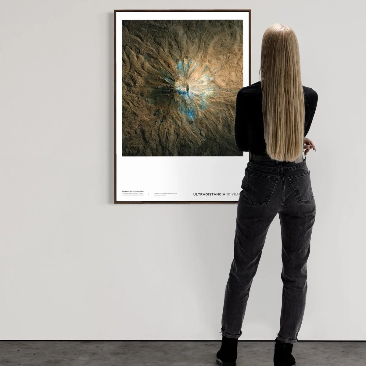
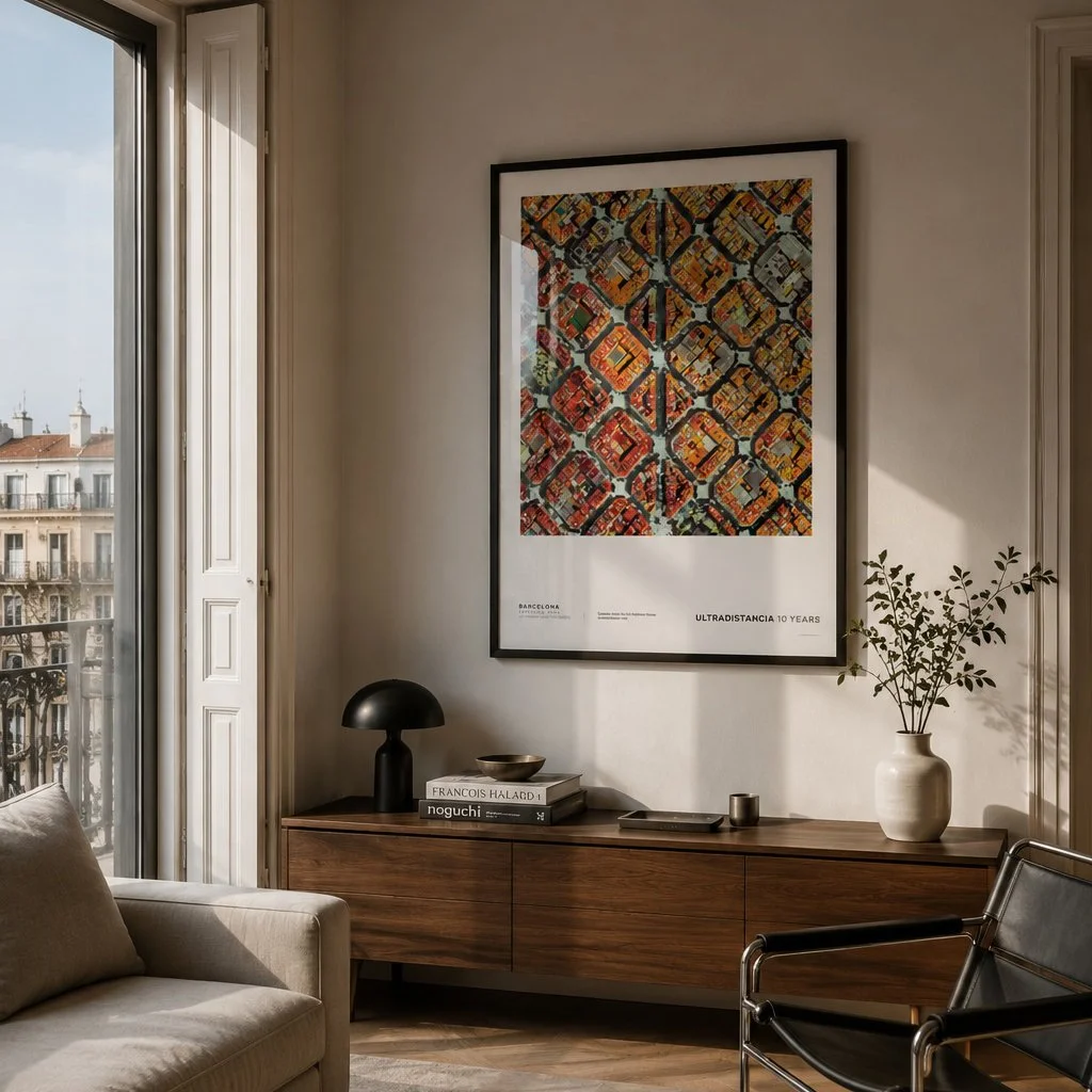
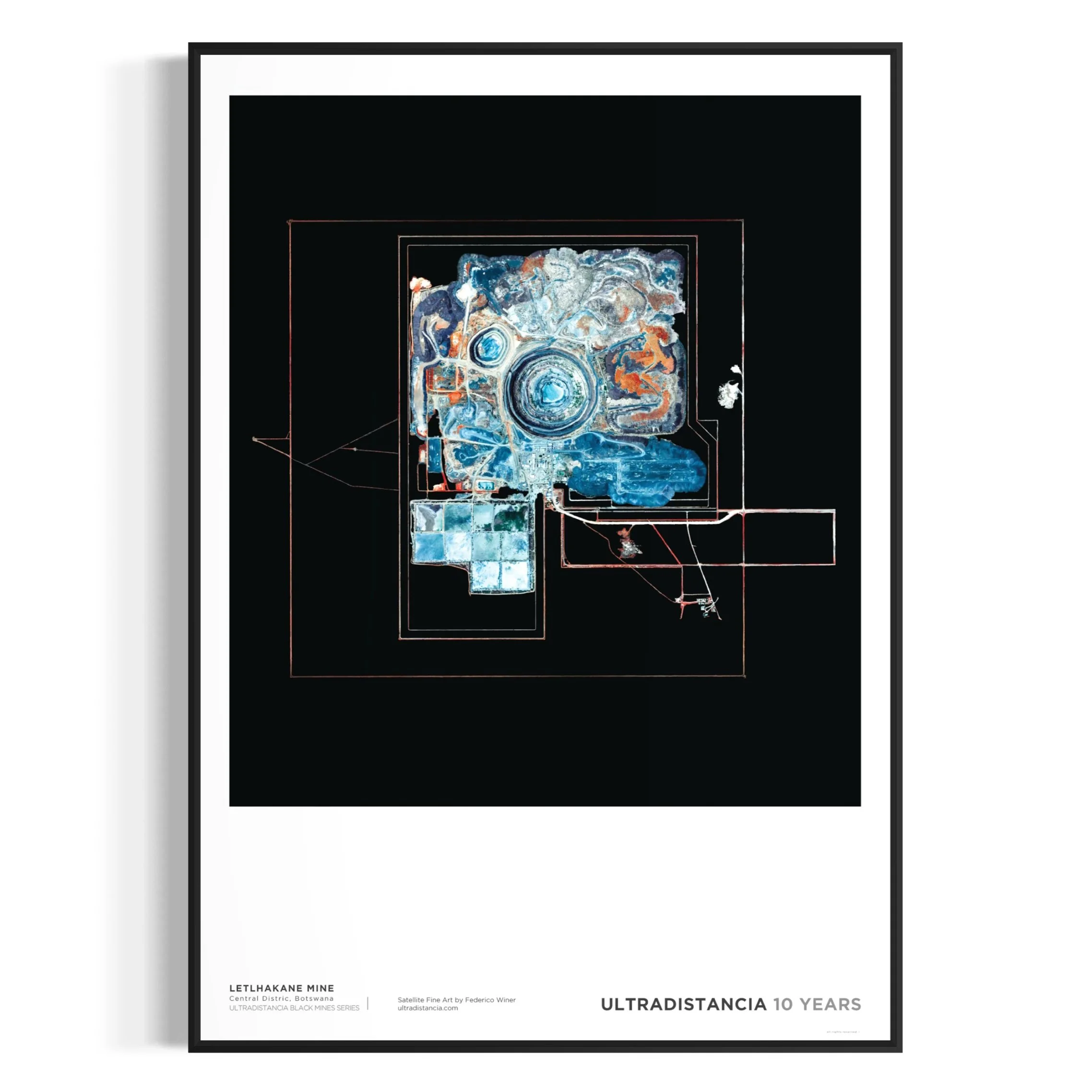
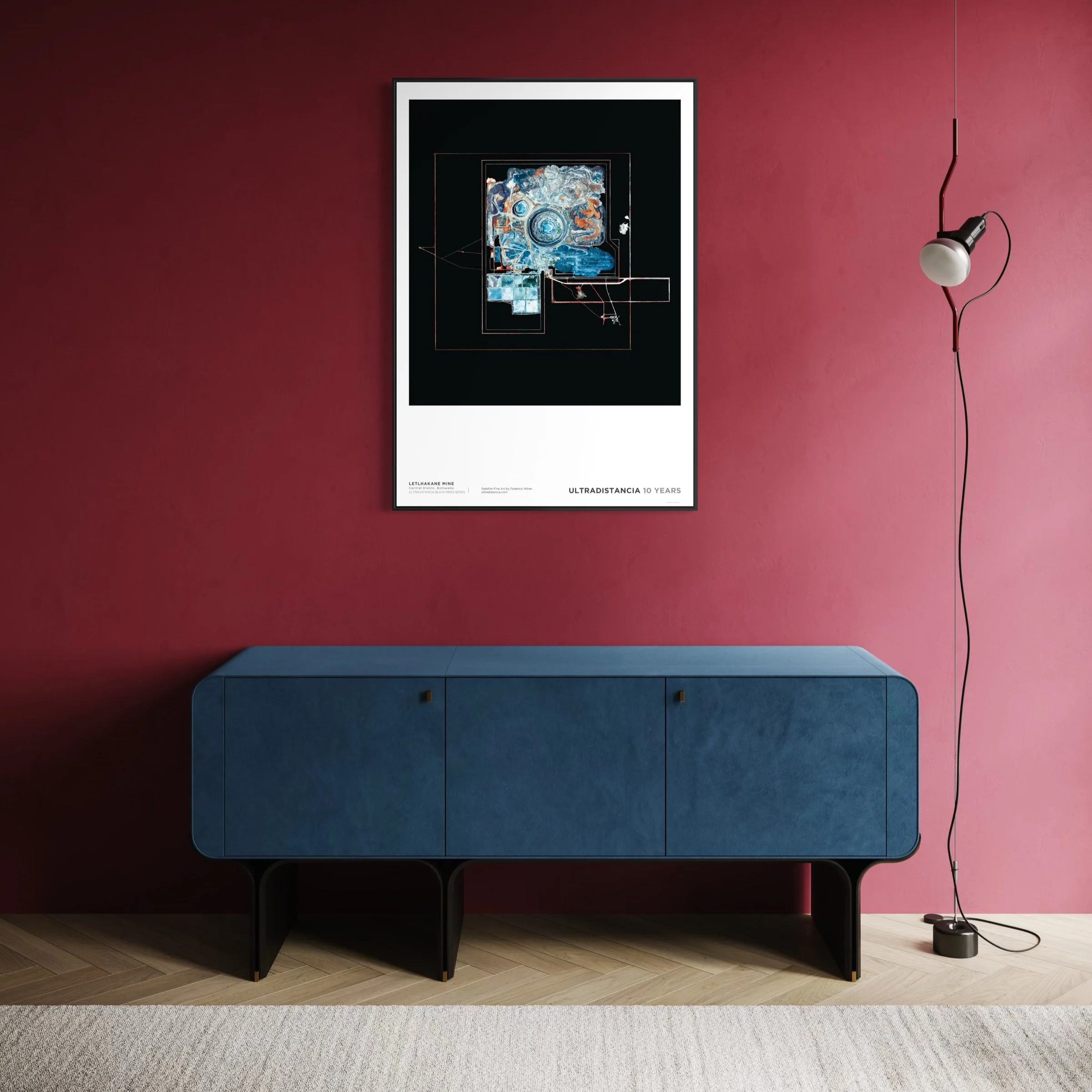
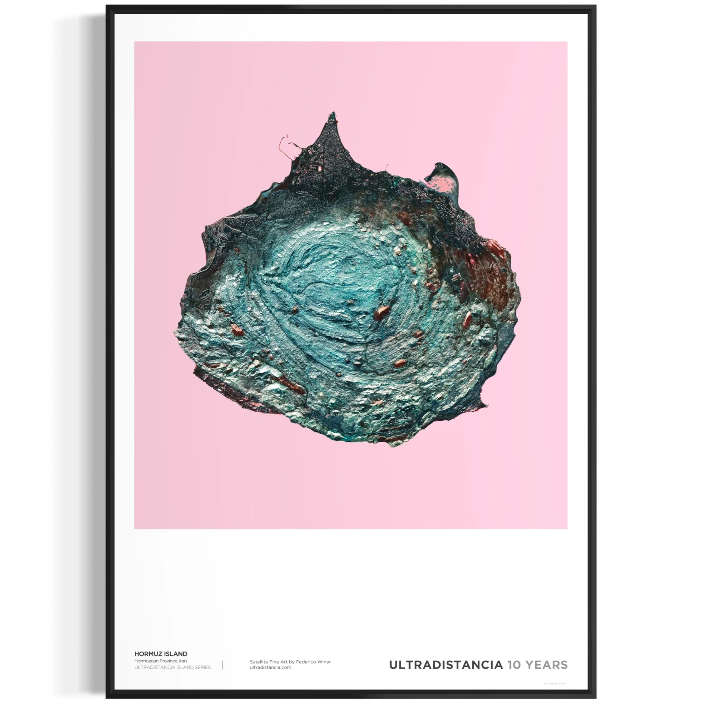
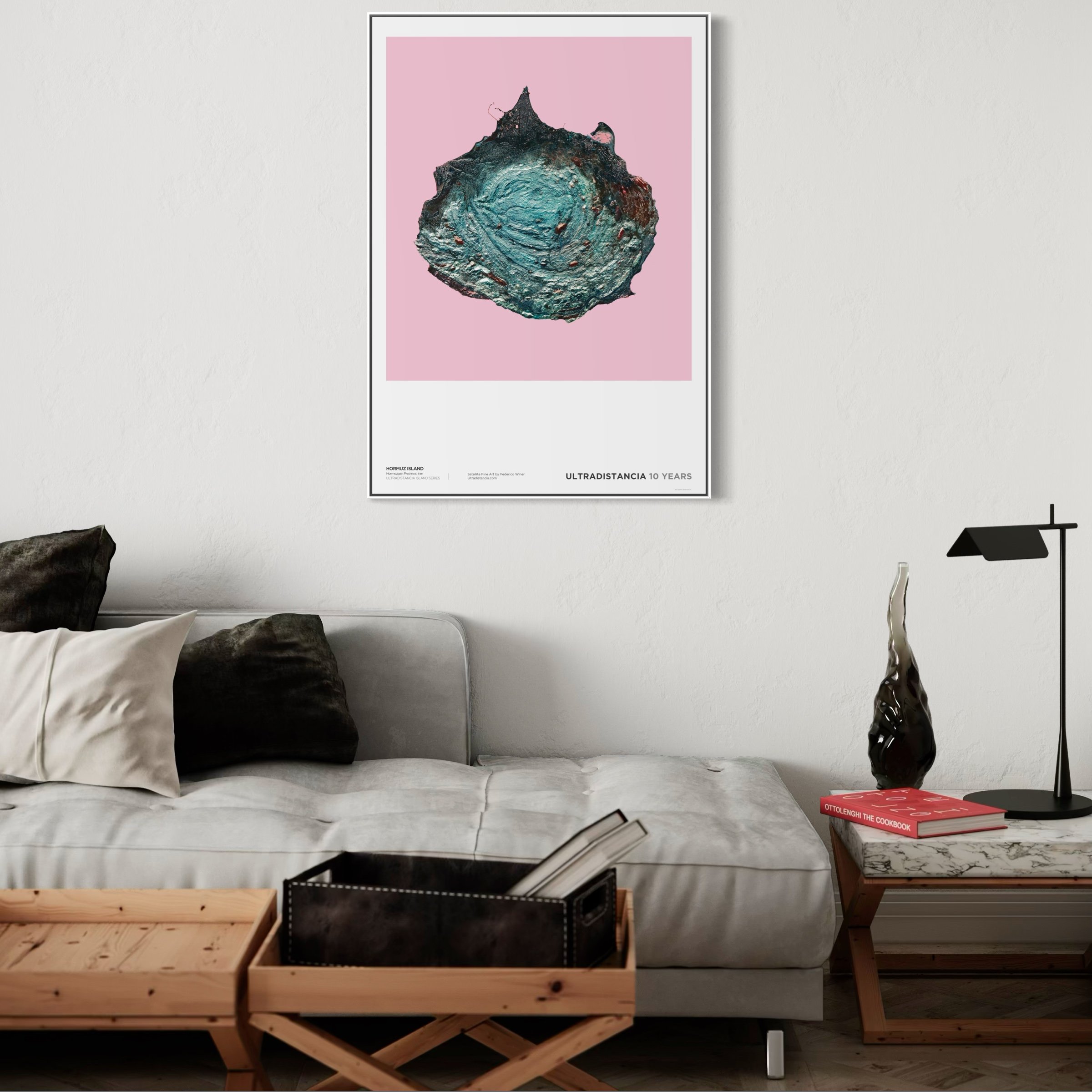
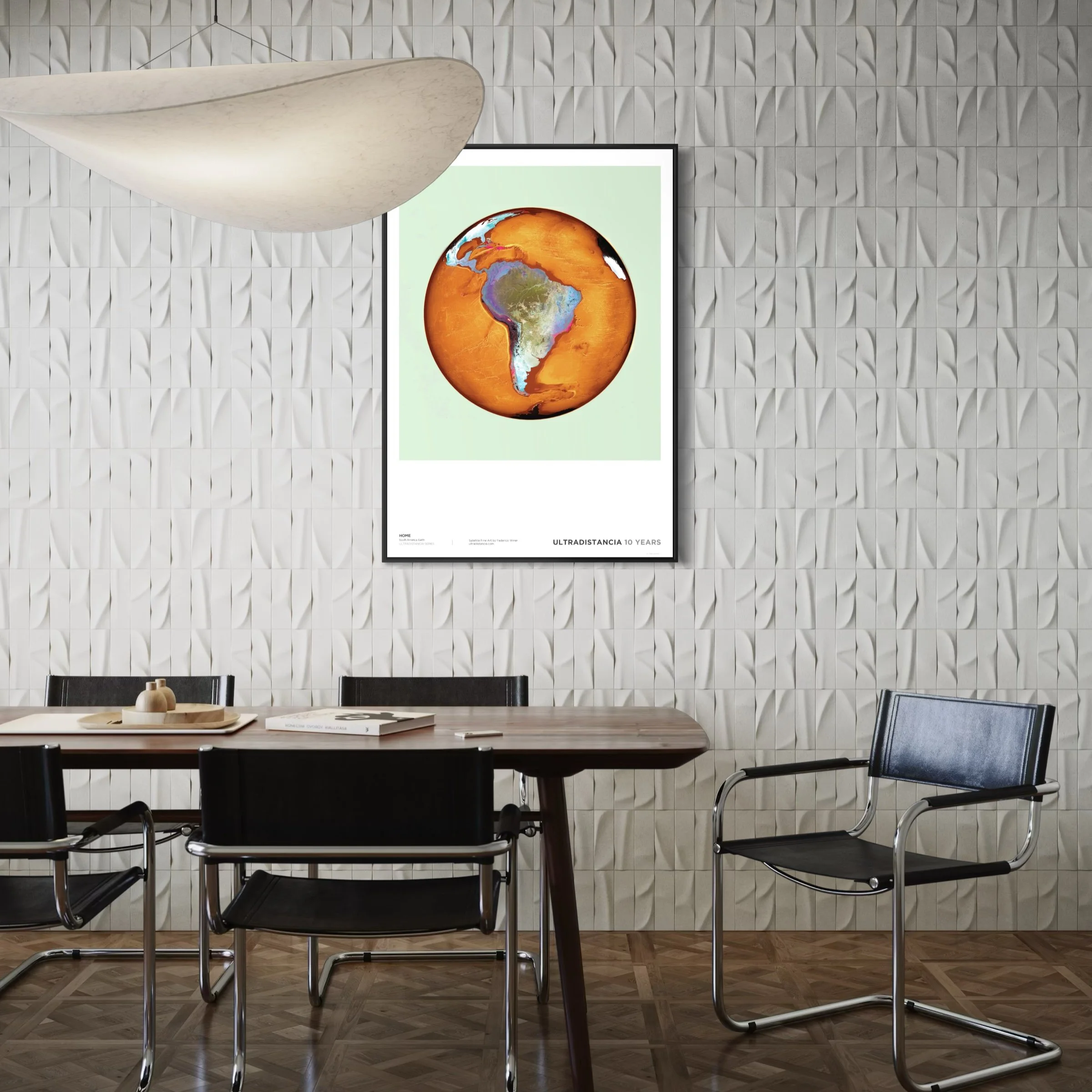
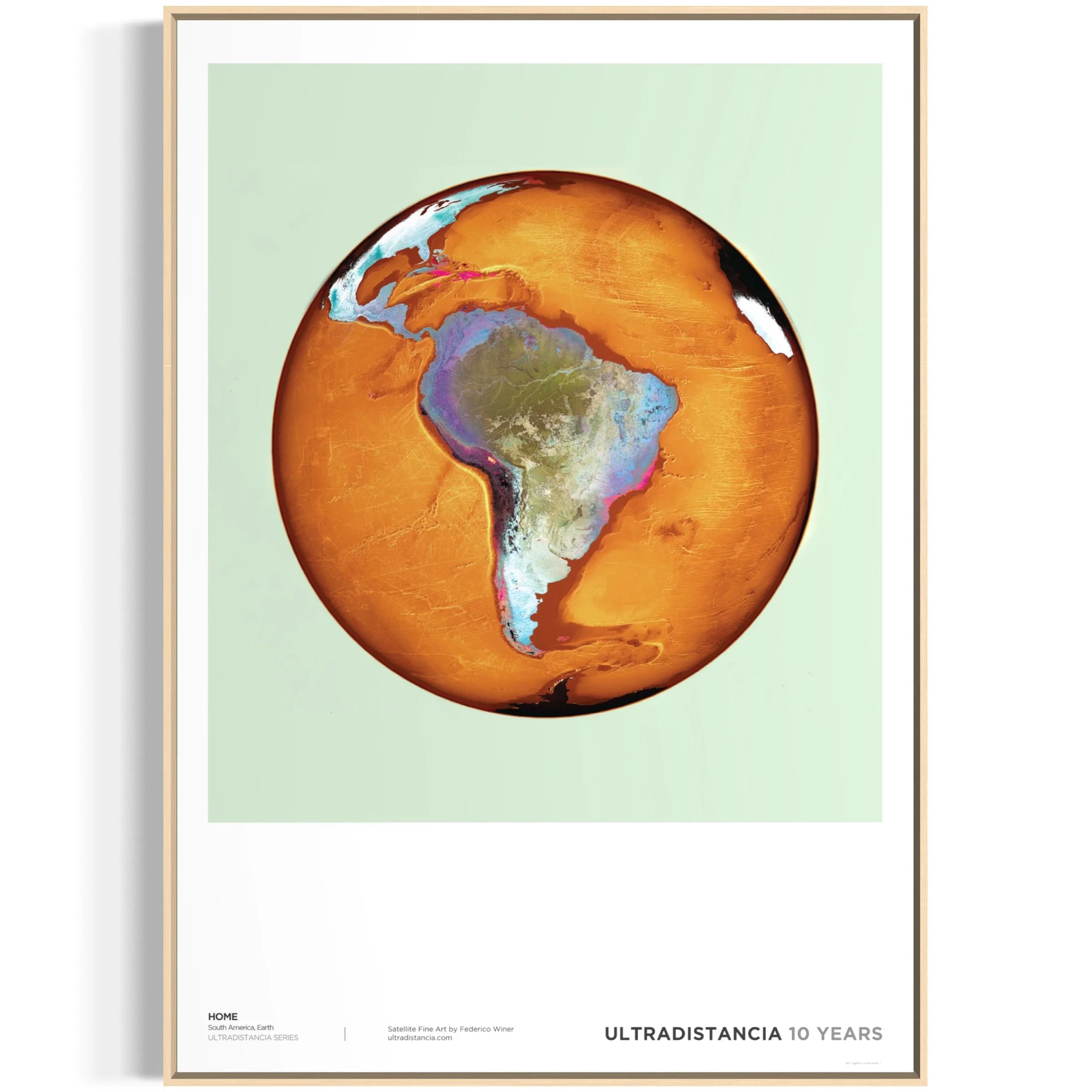
ULTRADISTANCIA AIRPORTS SERIES


I am drawn to what stands out from an aerial perspective: the geometries, contrasts, repetitions, and the organic forms of nature, whether altered or unaltered by man. Like many others, I am fascinated with airports. Some of them I have flown over on planes, many of them in my dreams, the ones presented here from satellites.

This series, which began when ULTRADISTANCIA started, coheres in this first set of airports and continues in the new works created, commissioned or freely, matures and summarizes the spirit of this artistic project that travels the world: the earth as a canvas, the maps unconscionable.

I used to be a frequent flyer and would always choose a window seat to admire the view of airports as we took off or landed. Even on gray days or when the view lacked contrast, squinting my eyes and looking out of the corner added a unique layer of distortion to the ground colors.

Years later, my visual experiments with satellite images led to the development of ULTRADISTANCIA, and my first finished work was an airport. I was captivated by the geometry of the runways and the shapes of the terminals, and I was eager to extract everything that were hidden there.

About Ultradistancia Airports

“Art comes in many forms, and satellite art does stand out for its unique take on capturing the world, we believe anyone who loves travel or is in aviation will appreciate having an Ultradistancia piece on their walls.”

— Apertus Aero

“Argentinian artist and photographer Federico Winer uses imagery from Google Earth to play with our perspective of the world. Get a brand new view on some of the world´s most dynamic airports. “

— Google Earth

“That maps can be considered art is not a new concept. One only needs to look at Gerard Mercator's 'Nova et Aucta Orbis Terrae Descriptio', the incredible 'Tabula Peutingeriana', or the medieval Hereford Map to have proof that cartography can enchant the eye as much as, and sometimes more than, a painting.

Armed with this conviction, Argentine artist Federico Wiener has transformed satellite footage from Google Earth into a captivating artistic journey.¨

— Corriere Della Sera

“Landmark architecture and urban landscaping becomes shapes and geometries in buenos aires-based photographer Federico Winer‘s ‘ultradistancia’ series.

Winer transports viewers across all corners of the globe, allowing them to vicariously travel on google earth ‘trips’ from airports to highways and famous cities.¨

“Aerial photography sourced from satellites sees stations, neighborhoods, routes, and houses turn into kaleidoscopic compositions.

it is from this vantage point that an observer can truly understand the winding pathways of an airport terminal, the twisting roadways we drive on everyday and the complex layouts of historic cities.¨

— Design Boom

For the launch of the new Google Earth, Google invited me to create some of the Ultradistancia images that make up the Airports series, so that users could take guided tours of the world through them. Visit the project here.