
Satellite imagery transformed into contemporary fine art.
A long-term visual project exploring the Earth as image, territory, and abstraction.
The Story
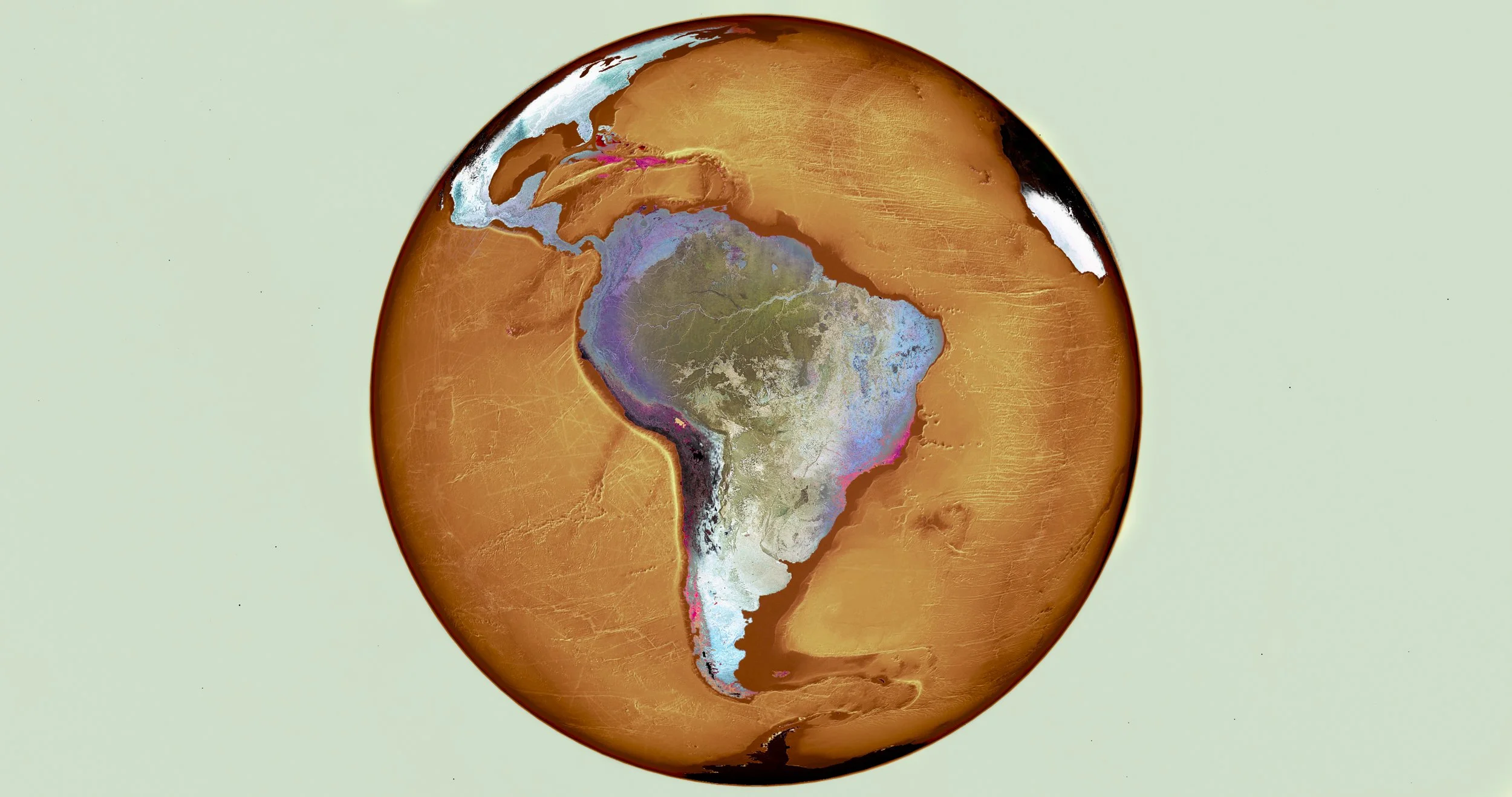
Ultradistancia is a long-term satellite fine art project created in 2015. For more than a decade, I have transformed high-resolution images of the Earth into large-scale photographic artworks, revealing patterns, geometries, colors, and territories that are often invisible from the ground.
The project exists between photography, cartography, painting, and digital craft. It does not use artificial intelligence, a distinction that seems necessary today and would have been almost unimaginable when ULTRADISTANCIA began over a decade ago. Each work is built from real satellite imagery through a precise artistic process that turns the planet’s surface into a field of abstraction, memory, and scale.
The Earth Seen Otherwise
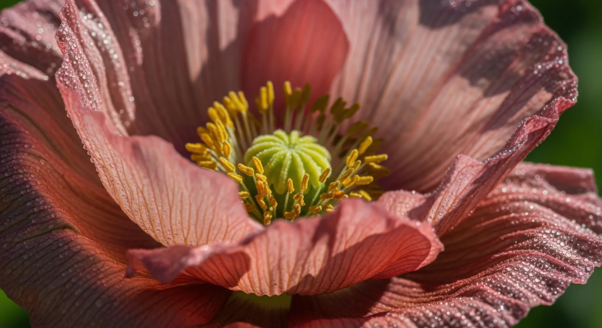
At satellite distance, the world becomes unfamiliar. What we usually understand as territory, infrastructure, or landscape begins to appear as composition: rhythm, surface, color, fracture, repetition, and form.
ULTRADISTANCIA works within that threshold, where geography becomes image and the Earth reveals itself as an immense visual archive. Each work transforms a real place into a contemporary abstraction, without leaving behind its physical and geographic origin.
It is not an escape from the world, but a different way of entering it.



From Satellite Image to Fine Art
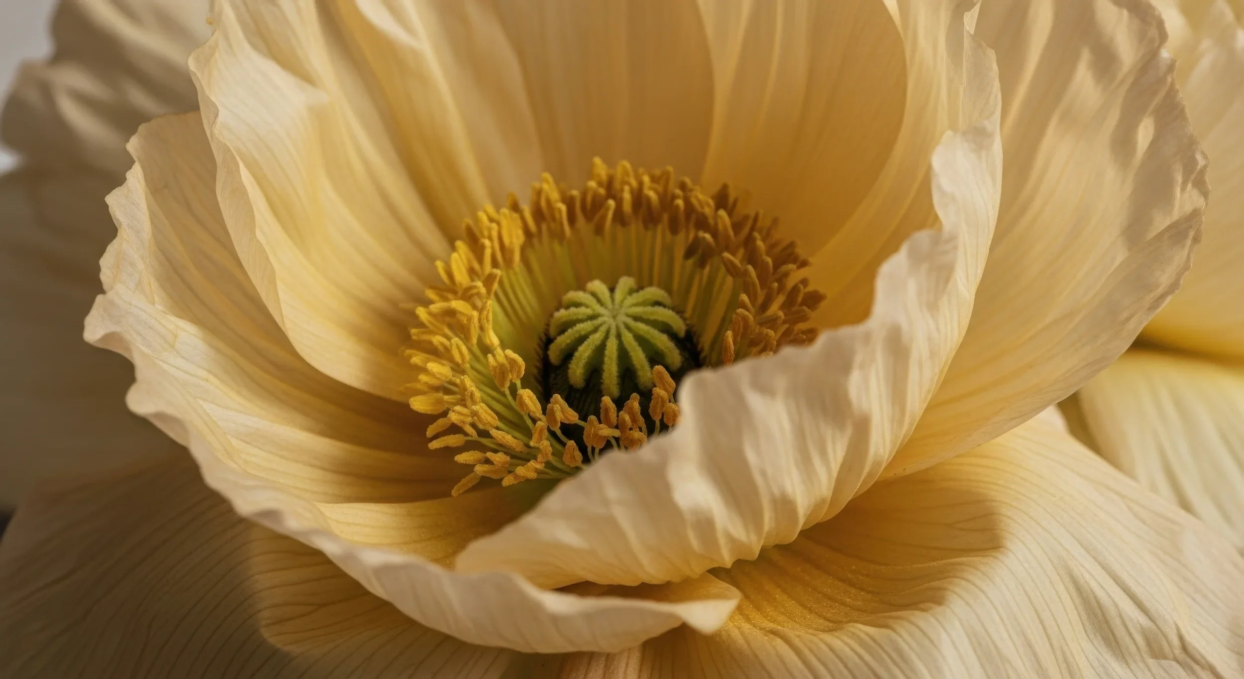
ULTRADISTANCIA is built through a meticulous and long process of composing raw satellite images from different sources, using them not as finished documents but as a visual ground — a canvas where geography becomes material. Over more than a decade, Federico Winer has developed a precise language of digital and artisanal techniques that allows the Earth’s surface, both human and natural, to be reinterpreted through geometry, color, scale, and abstraction. The resulting works move from image to object, becoming museum-grade pieces produced in multiple formats: archival fine art prints, acrylic works, framed editions, videos, murals, and custom site-specific installations.
From Satellite Image to Fine Art
ULTRADISTANCIA unfolds through a group of interconnected series, each one exploring a different way in which the Earth becomes image: industry, agriculture, cities, infrastructures, travel, and memory. Together, they form a visual archive of human and natural geographies seen from a new distance.
MINES
The monumental beauty and tension of mining landscapes, transformed into satellite-based fine art.
FIELDS
Agriculture seen from above as geometry, rhythm, color, and human order inscribed on the land.
CITIES
Urban territories seen as complex systems of geometry, circulation, architecture, and density.
AIRPORTS
Aviation infrastructures reinterpreted as compositions of movement, direction, and engineered space.
CLASSIC / VOYAGER
Foundational works from the project, where satellite vision first became a way to travel without movement.
Featured internationally by media such as The Guardian, Bloomberg, The New York Times, ArchDaily, LensCulture, Gizmodo, Designboom, HuffPost, Corriere della Sera, and Repubblica.
Invited by Google Earth to be part of its Voyager storytelling experience, bringing ULTRADISTANCIA to a global audience through one of the world’s most influential geographic platforms.
Presented in institutional and cultural contexts, including exhibitions where satellite art, territory, science, and industry converge.
“Argentinian photographer Federico Winer uses Google Earth satellite images to play with the way we see our planet.”
— The Guardian
“Ultradistancia is an invitation to discover from above hidden forms from our human perception.”
— ArchDaily
“Federico Winer has taken aerial photography to a new level.”
— Gizmodo
Commissions & Site-Specific Artworks
Texto:
Ultradistancia creates bespoke satellite-based artworks for private collectors, companies, institutions, headquarters, public spaces, exhibitions, and special projects. Each commission begins with a specific location and becomes a museum-grade artwork developed through the project’s visual language.
Acá conectás con minería, aeropuertos, ciudades, campos, empresas, arquitectura, interiores, eventos.
Botón:
Inquire About a Commission
About the Artist
Federico Winer is an Argentine visual artist, photographer, producer, and professor. His work explores the visual, political, and technological dimensions of territory, transforming satellite imagery into contemporary fine art. Through Ultradistancia, he has developed a unique body of work at the intersection of image, geography, abstraction, and global culture.
10. Cierre / CTA
El cierre debe ofrecer caminos claros:
Explore Selected Works
Commission a Custom Artwork
Visit the Shop
Yo cerraría con una frase fuerte:
The Earth is not only a place. It is an image waiting to be seen.
O más sobria:
Ultradistancia transforms the surface of the Earth into a contemporary visual archive of scale, territory, and imagination.