Satellite imagery transformed into contemporary fine art.
A long-term visual project exploring the Earth as image, territory, and abstraction.
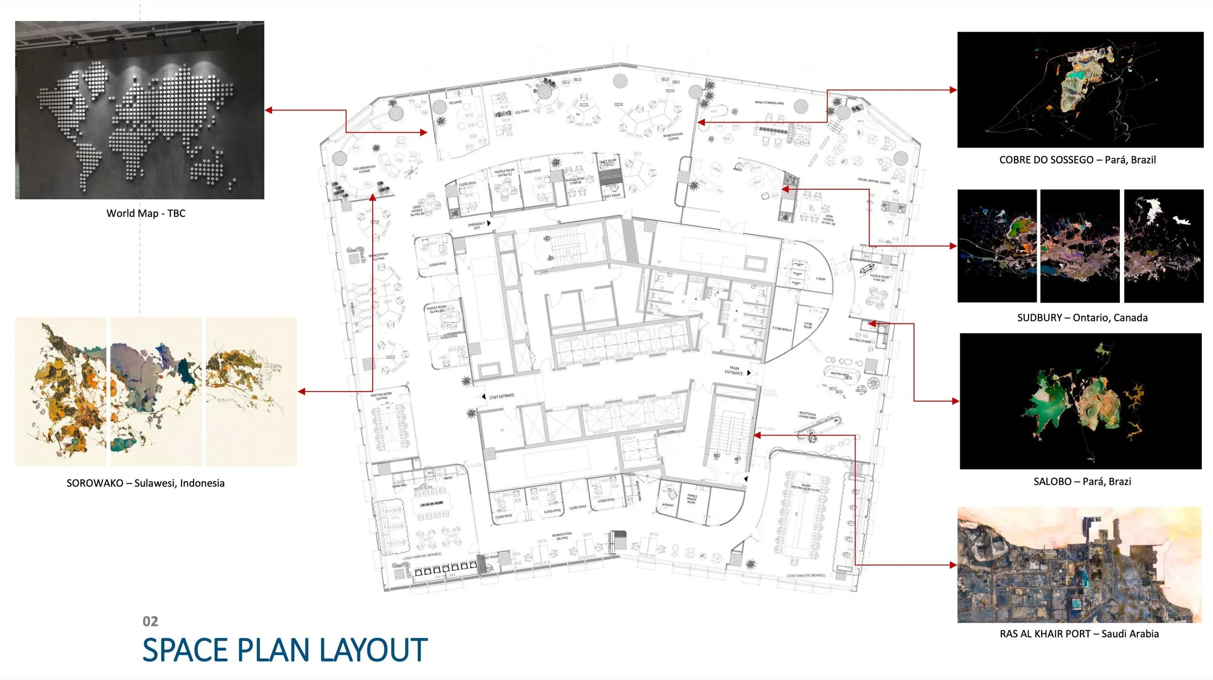
The Story
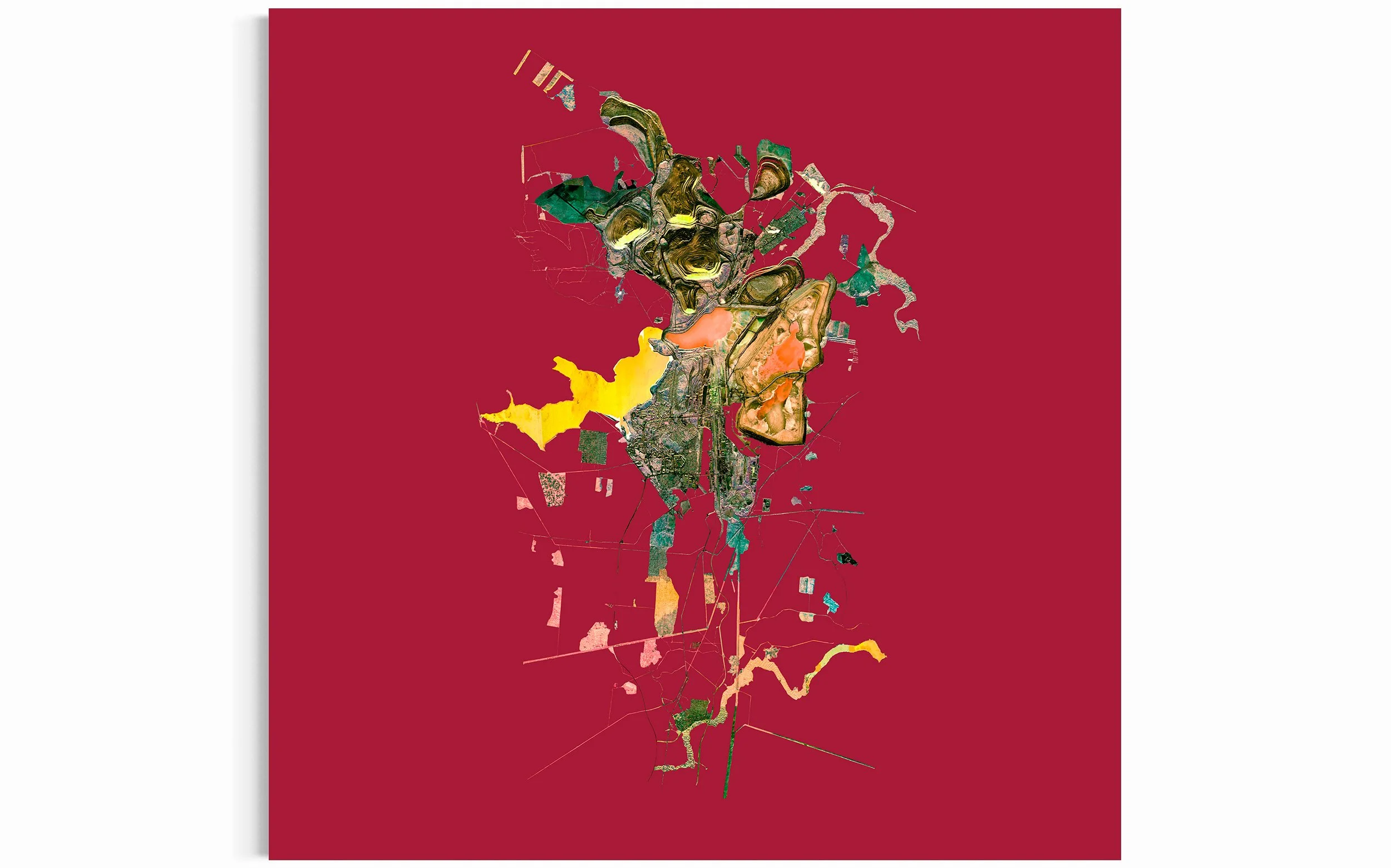
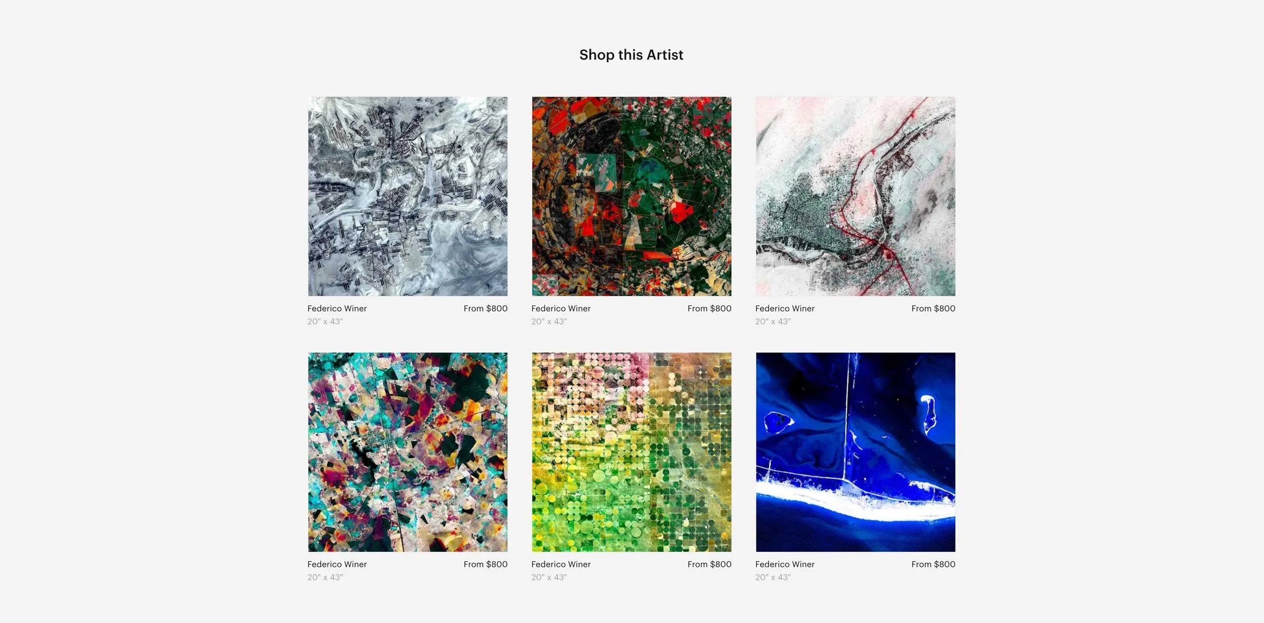
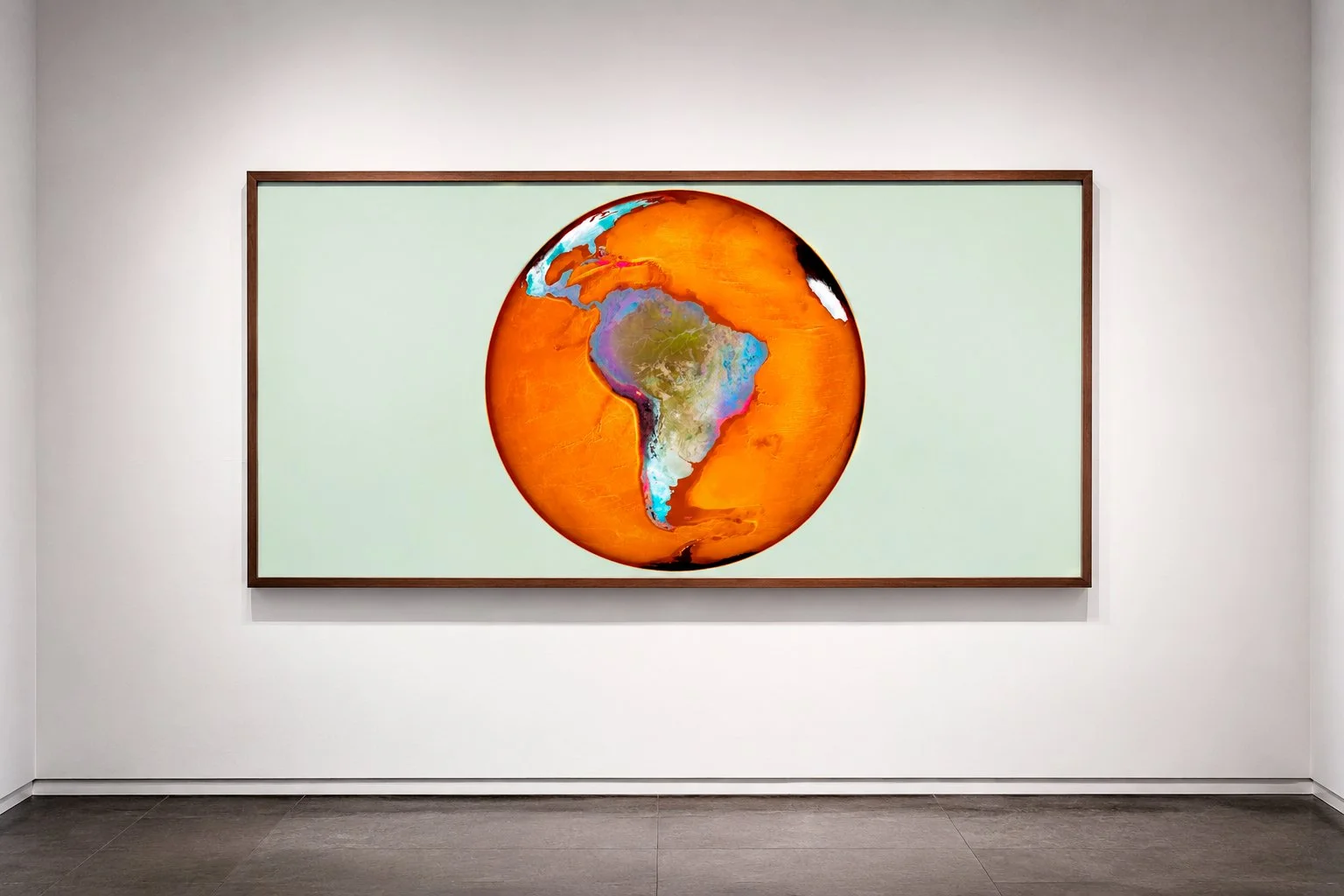
Ultradistancia is a long-term satellite fine art project created in 2015. For more than a decade, I have transformed high-resolution images of the Earth into large-scale photographic artworks, revealing patterns, geometries, colors, and territories that are often invisible from the ground.
The project exists between photography, cartography, painting, and digital craft. It does not use artificial intelligence, a distinction that seems necessary today and would have been almost unimaginable when ULTRADISTANCIA began over a decade ago. Each work is built from real satellite imagery through a precise artistic process that turns the planet’s surface into a field of abstraction, memory, and scale.

NEW YORK ALIEN - New York, USA. Ultradistancia Black Series, 2017
The Earth Seen Otherwise
At satellite distance, the world becomes unfamiliar. What we usually understand as territory, infrastructure, or landscape begins to appear as composition: rhythm, surface, color, fracture, repetition, and form.
ULTRADISTANCIA works within that threshold, where geography becomes image and the Earth reveals itself as an immense visual archive. Each work transforms a real place into a contemporary abstraction, without leaving behind its physical and geographic origin.
The Artist
I am a visual artist, photographer, producer, and professor at the University of Buenos Aires in Argentina. My work explores the visual, political, and technological dimensions of territory, transforming satellite imagery into contemporary fine art. Through Ultradistancia, I have developed a unique body of work at the intersection of image, geography, abstraction, and global culture.
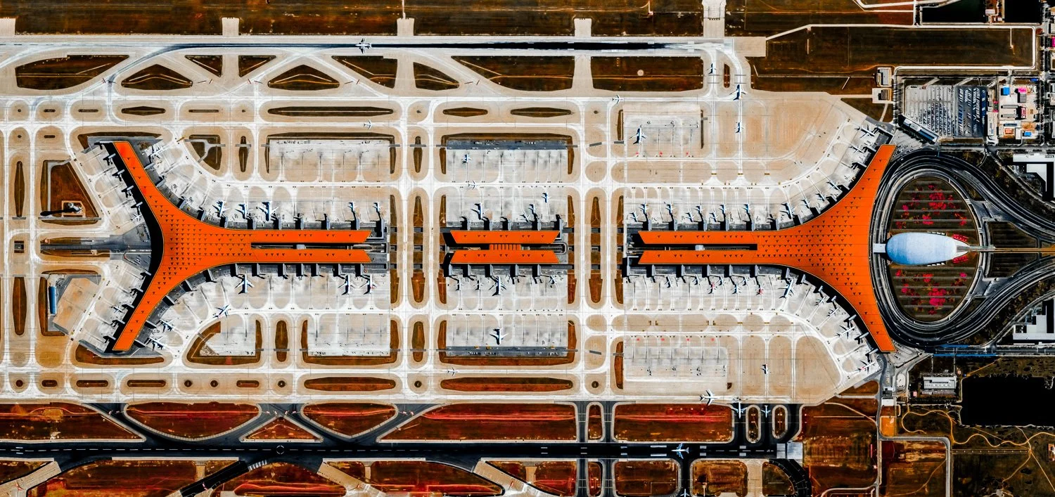
BEIJING AIR (PEK) - Pekin, China. Ultradistancia Airports Series, 2015
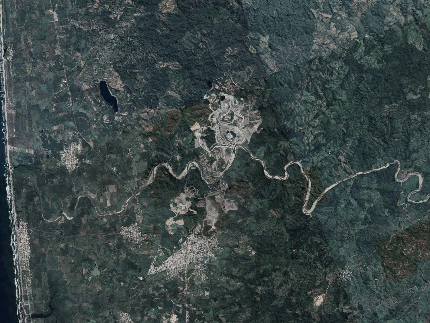
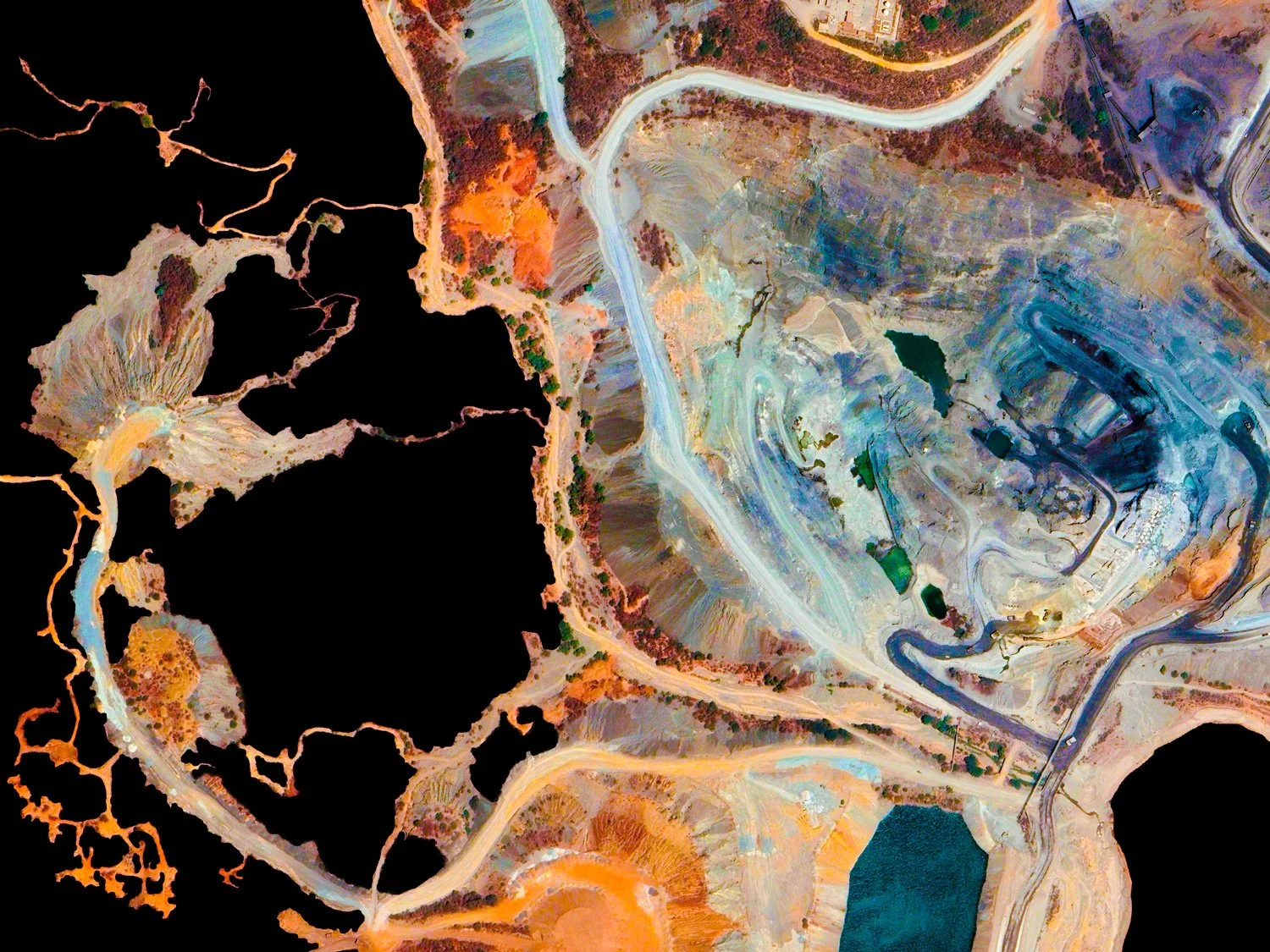
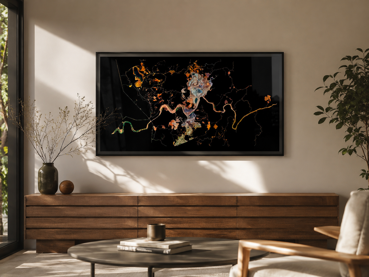
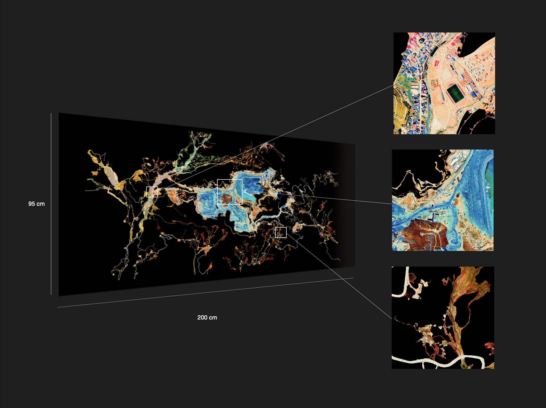
LAS TRUCHAS MINE - Michoacan, Mexico - Ultradistancia Black Mines Series, 2020
From Satellite Image to Fine Art
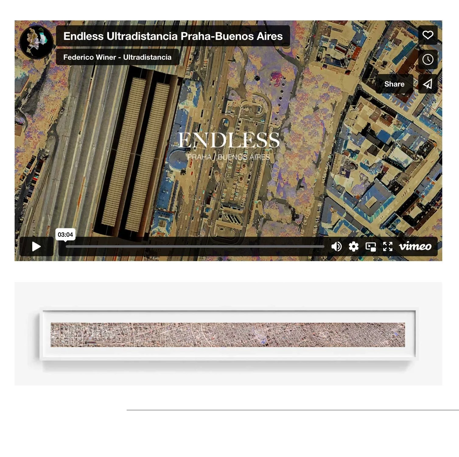
ULTRADISTANCIA is built through a meticulous and long process of composing raw satellite images from different sources, using them not as finished documents but as a visual ground — a canvas where geography becomes material. Over more than a decade, a precise language of digital and artisanal techniques has developed that allows the Earth’s surface to be reinterpreted through geometry, color, scale, and abstraction.
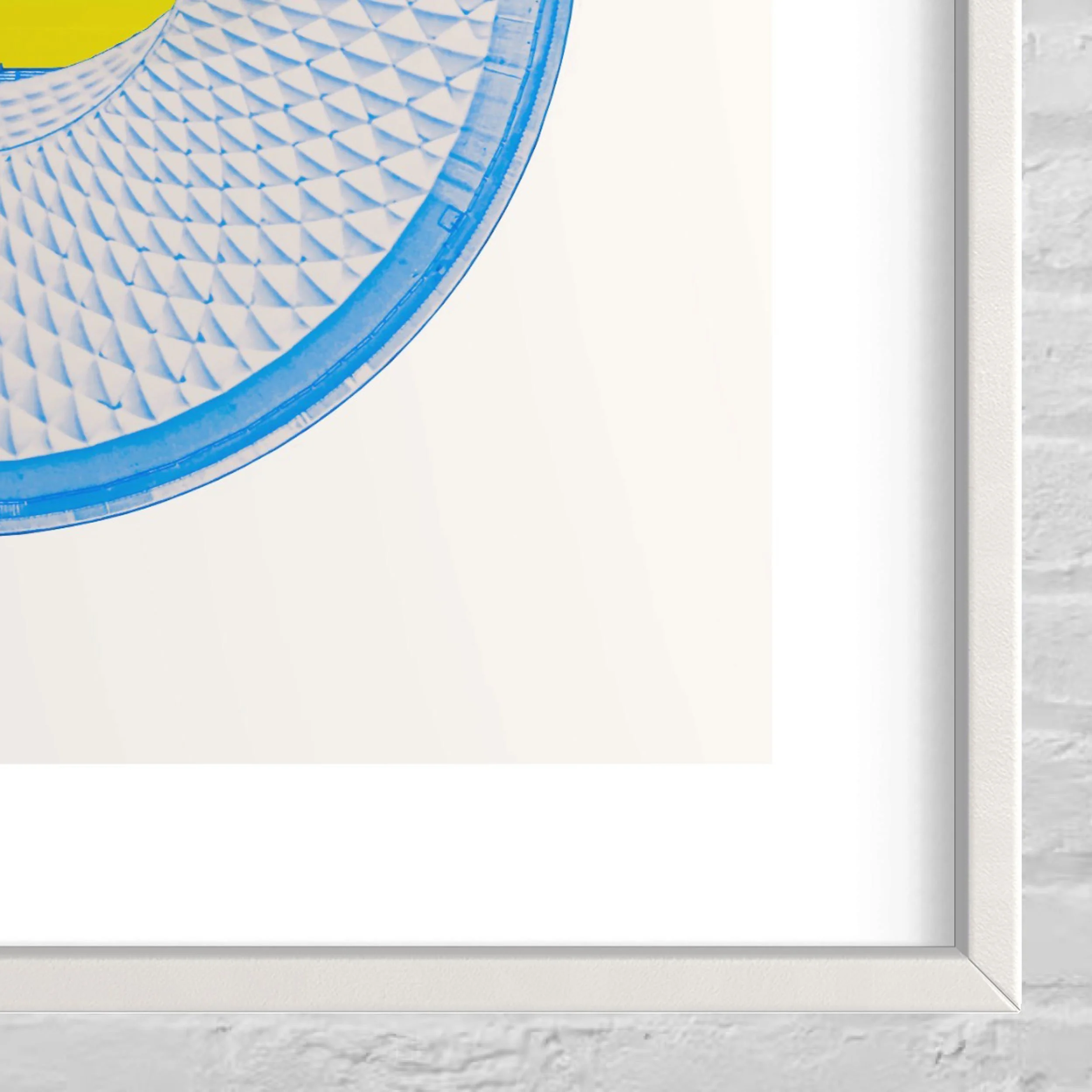
Drawing on the lineage of early cartography, the resulting works move from image to object, becoming museum-grade pieces produced in multiple formats: archival fine art prints, wood and acrylic framed editions, videos, murals, textiles and custom site-specific installations.
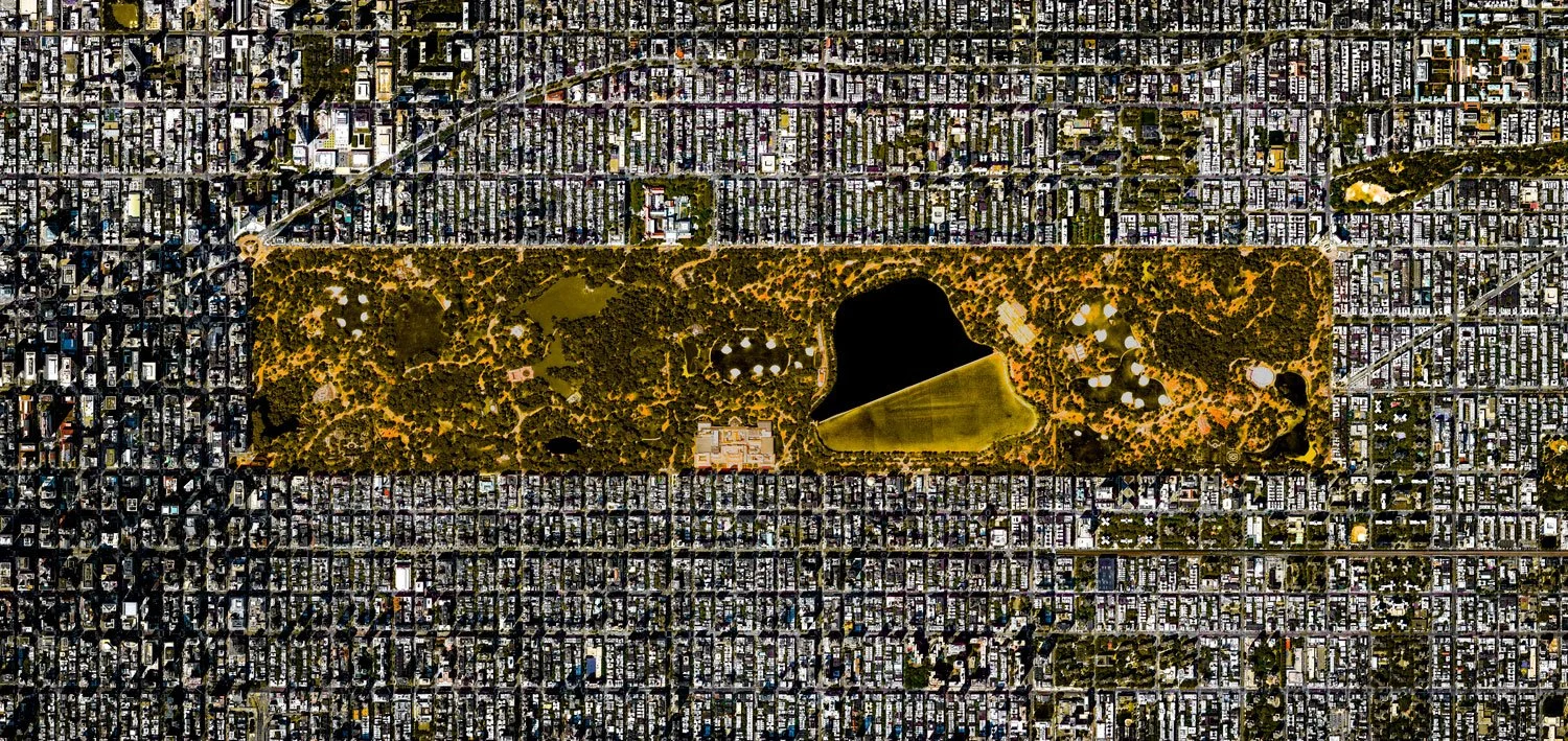
CENTRAL PARK - New York, USA. Ultradistancia Voyager Series, 2015
The Series
ULTRADISTANCIA unfolds through a group of interconnected series, each one exploring a different way in which the Earth becomes image: industry, agriculture, cities, infrastructures, travel, and memory. Together, they form a visual archive of human and natural geographies seen from a new distance.
MINES
The monumental beauty and tension of mining landscapes, transformed into satellite-based fine art.
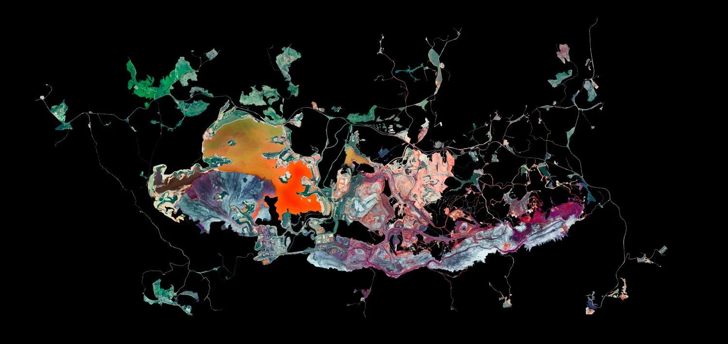
MINAS RIO - Minas Gerais, Brazil - Ultradistancia Black Mines Series, 2023
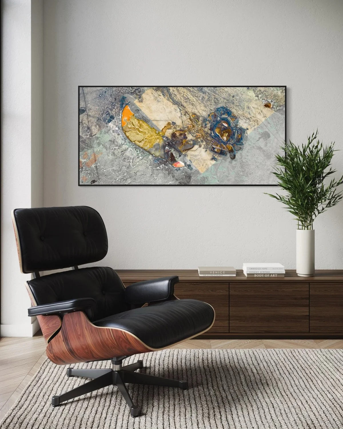
AKTOGAY - Abay, Kazakhstan - Ultradistancia Color Mines Series, 2024
FIELDS
Agriculture seen from above as geometry, rhythm, and human order inscribed on the land.
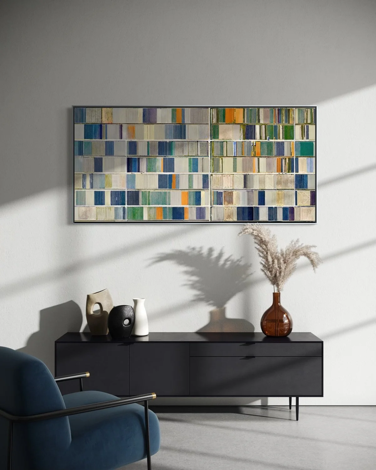
KASHIMA - Saga, Japan - Ultradistancia Fields Series, 2026
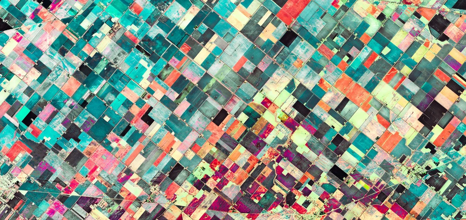
REESE - Michigan, USA - Ultradistancia Fields Series, 2026
CITIES
Urban territories seen as complex systems of circulation, architecture, and density.
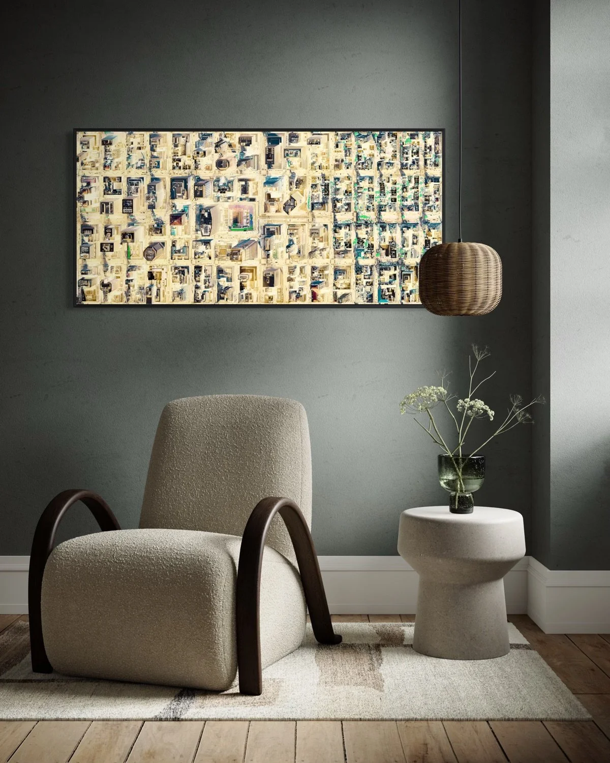
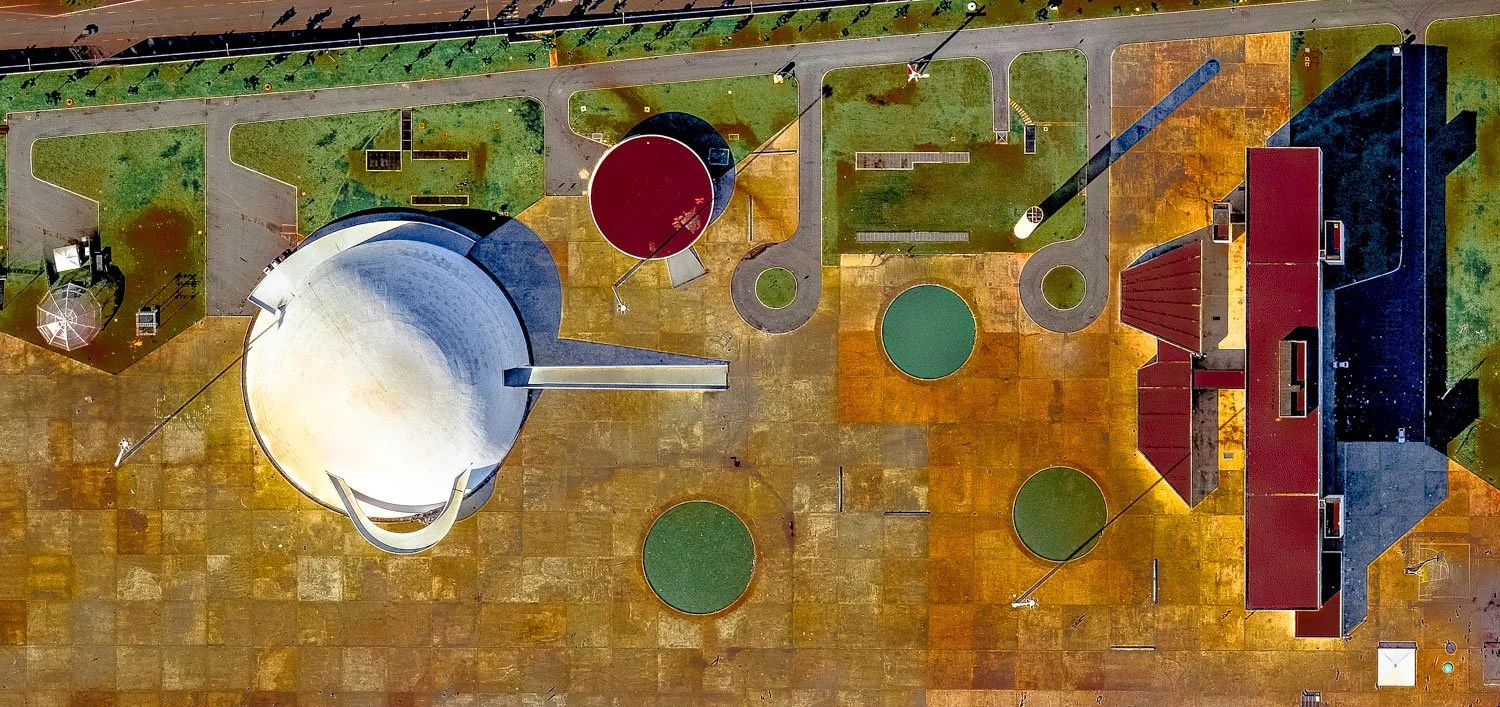
MANHATTAN II - New York, USA - Ultradistancia Cities Series, 2019
BRASILIA - Brasilia, Brazil - Ultradistancia Cities Series, 2015
AIRPORTS
Aviation infrastructures reinterpreted as compositions of movement, direction, and engineered space.
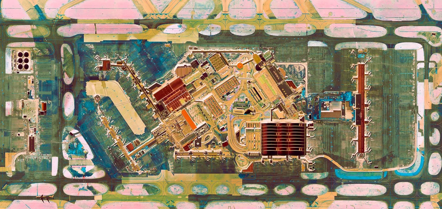
HEATHROW AIR (LHR) - London, UK. - Ultradistancia Airports Series, 2021

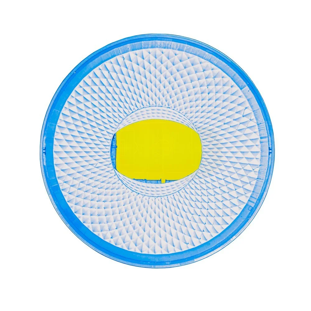
DENVER AIR (DEN) - Colorado, USA. - Ultradistancia Airports Series, 2021
CLASSIC
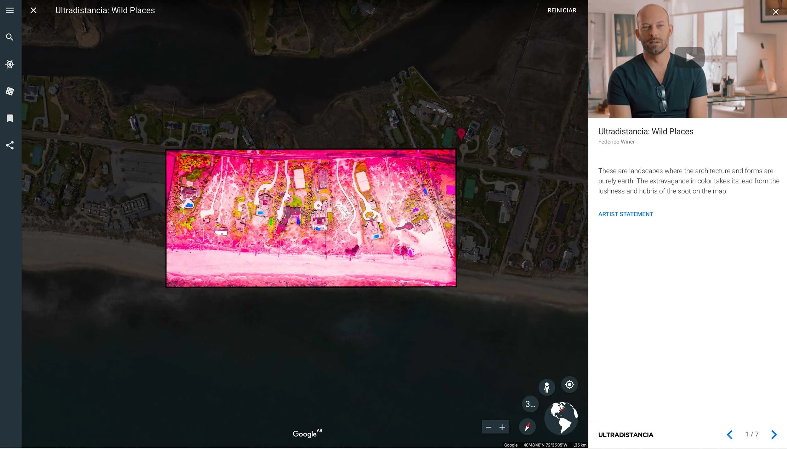
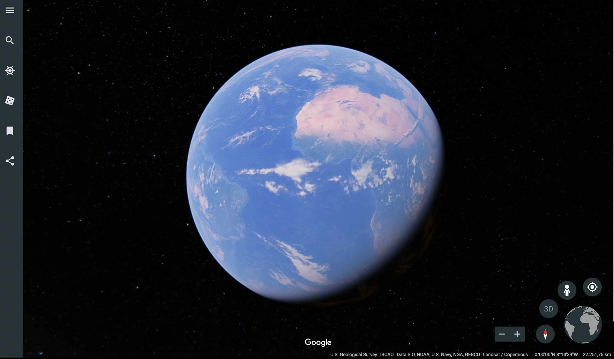
The foundational three series from the project, Voyager, Selected & Black, included in Google Earth, where satellite vision first became a way to travel without movement.
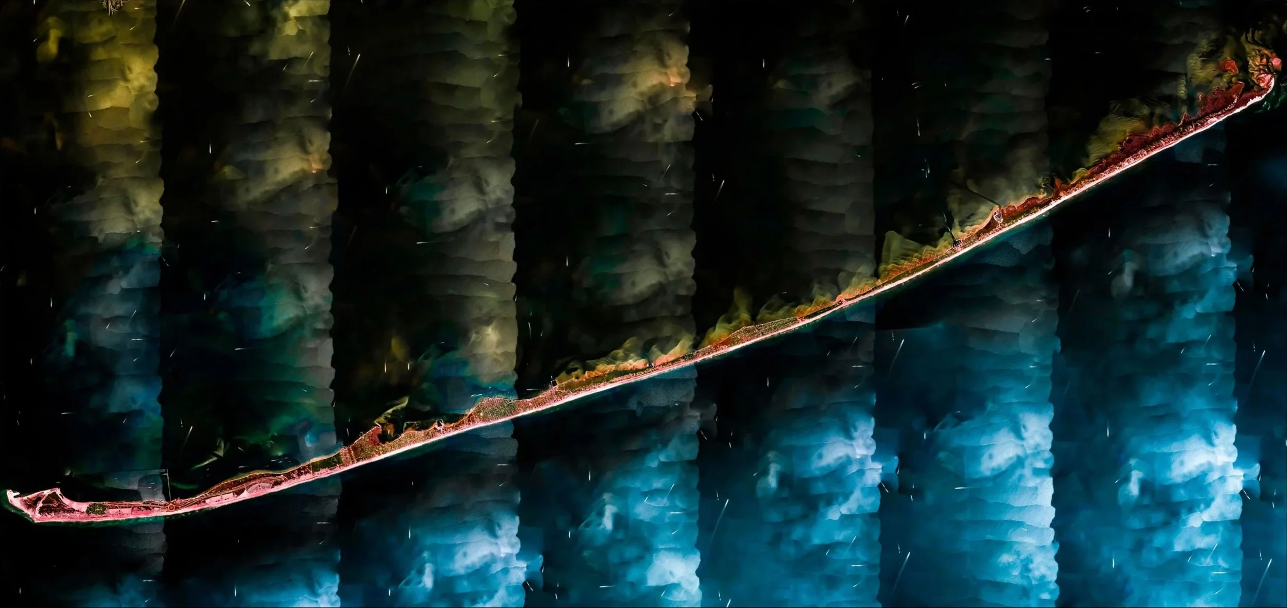
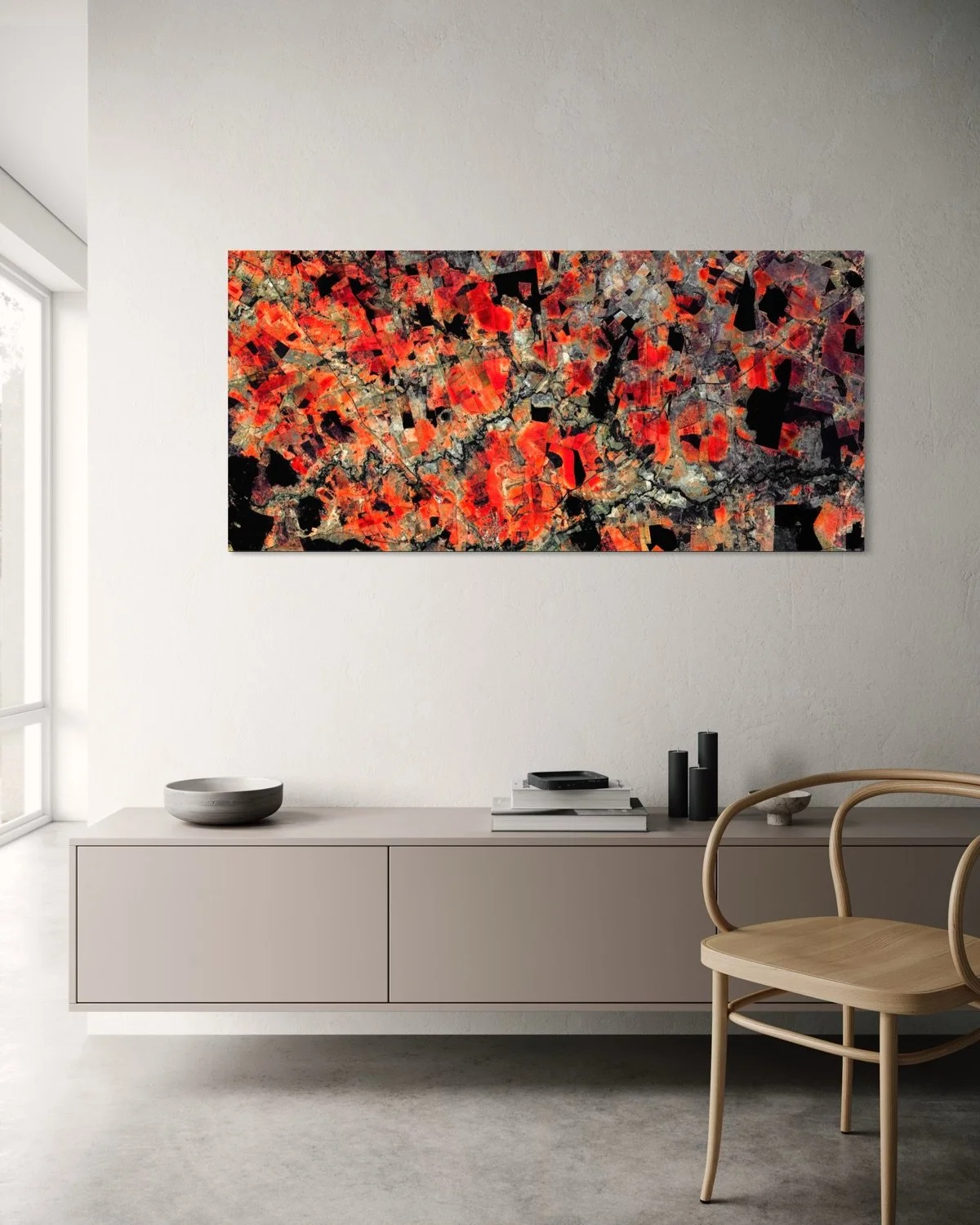
FIRE ISLAND - New York, USA. - Ultradistancia Voyager Series, 2016
CATUTI II - Minas Gerais, Brazil - Ultradistancia Selected Series, 2017
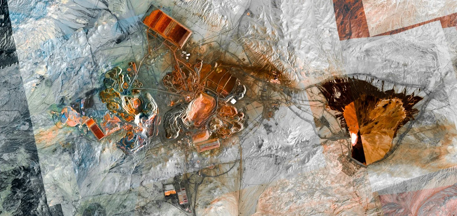
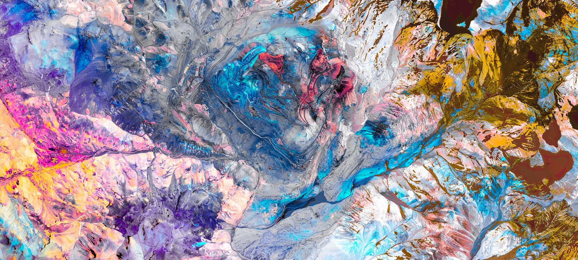
ESCONDIDA & ZALDIVAR MINES - Atacama, Chile - Ultradistancia Color Mines Series, 2019
The Journey
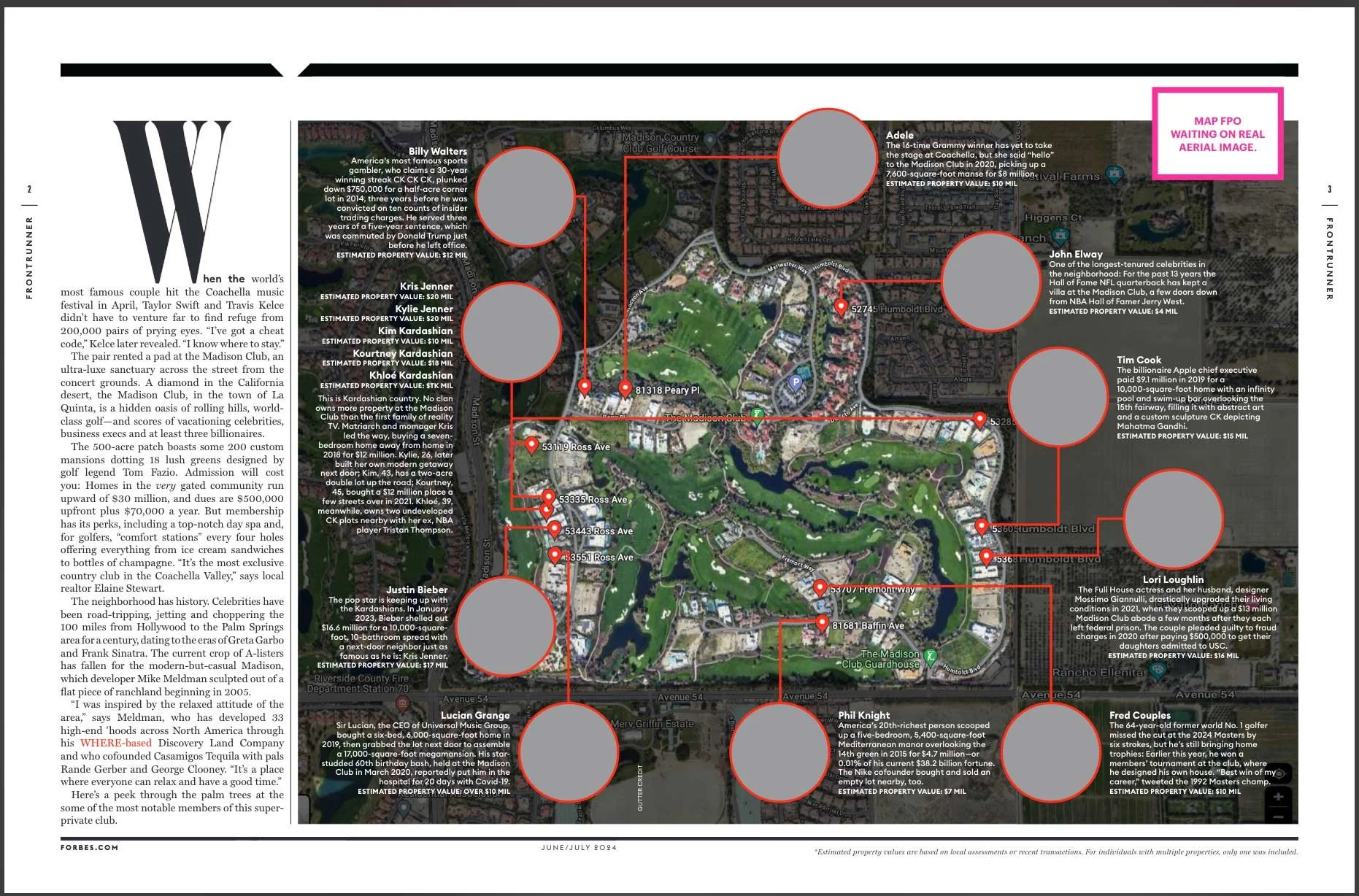
ULTRADISTANCIA has been featured by international media, cultural platforms, architecture publications, and technology outlets including The Guardian, Bloomberg, ArchDaily, LensCulture, Gizmodo, Designboom, HuffPost, Corriere della Sera, Wired, Forbes, Repubblica and Time Magazine, recognizing its original transformation of satellite imagery into contemporary fine art.
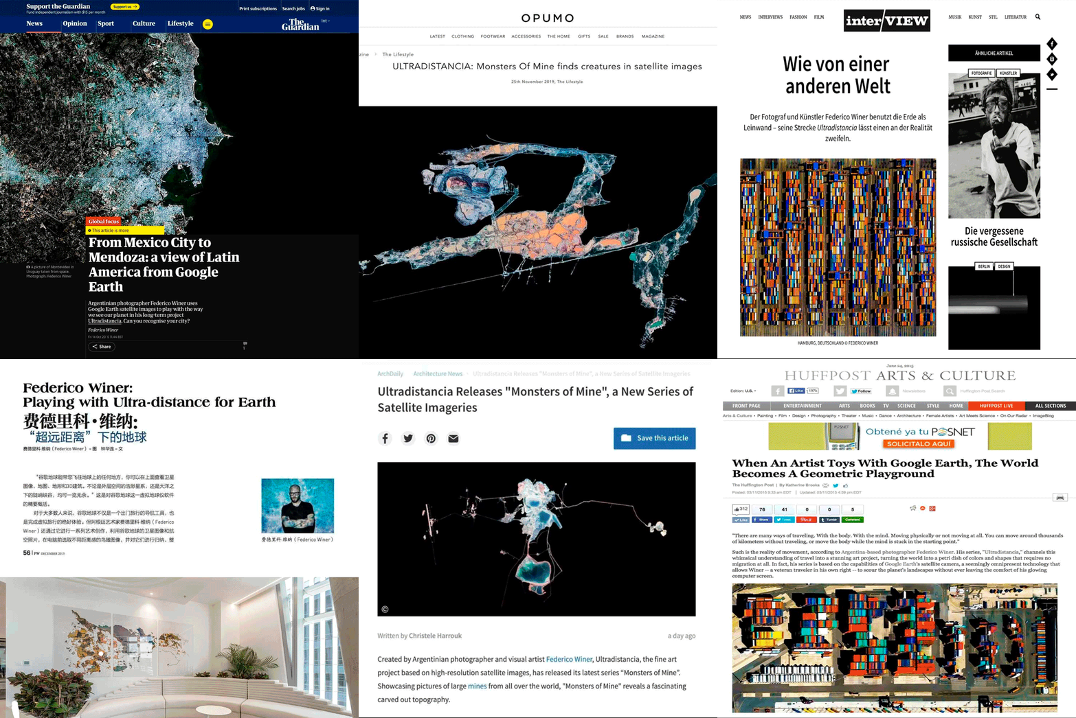
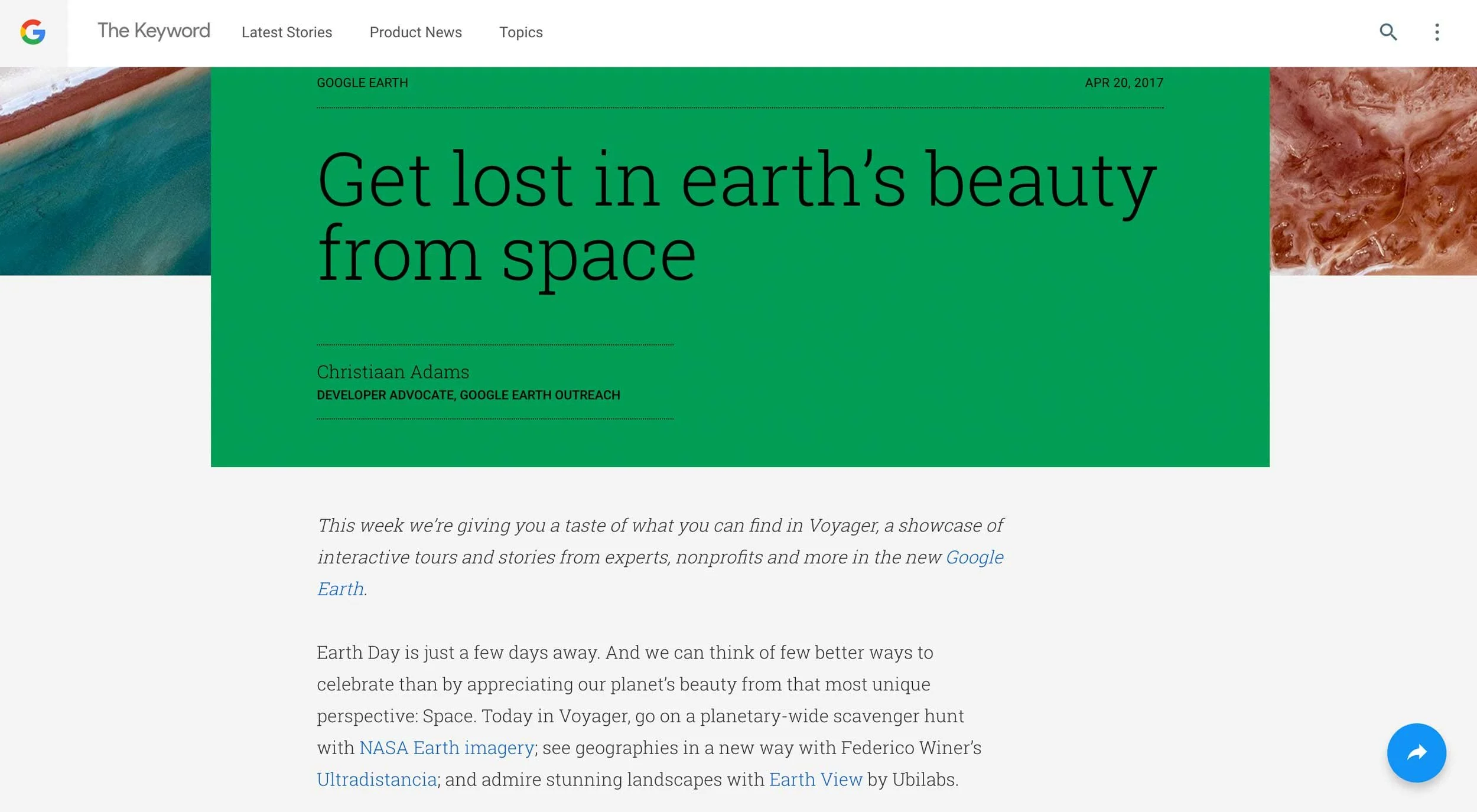
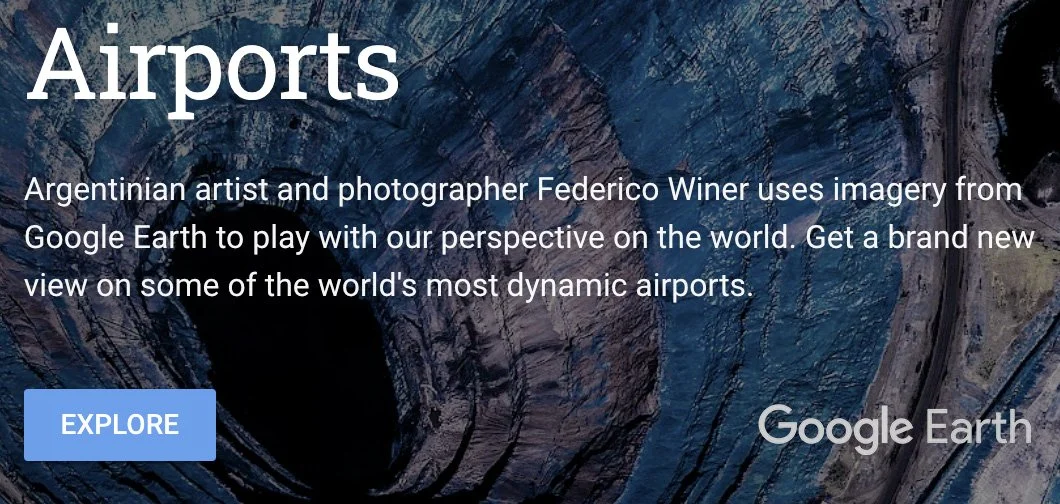
In 2017, ULTRADISTANCIA was invited by Google to be part of Google Earth’s Voyager storytelling experience, bringing the project to a global audience through one of the world’s most influential geographic platforms.
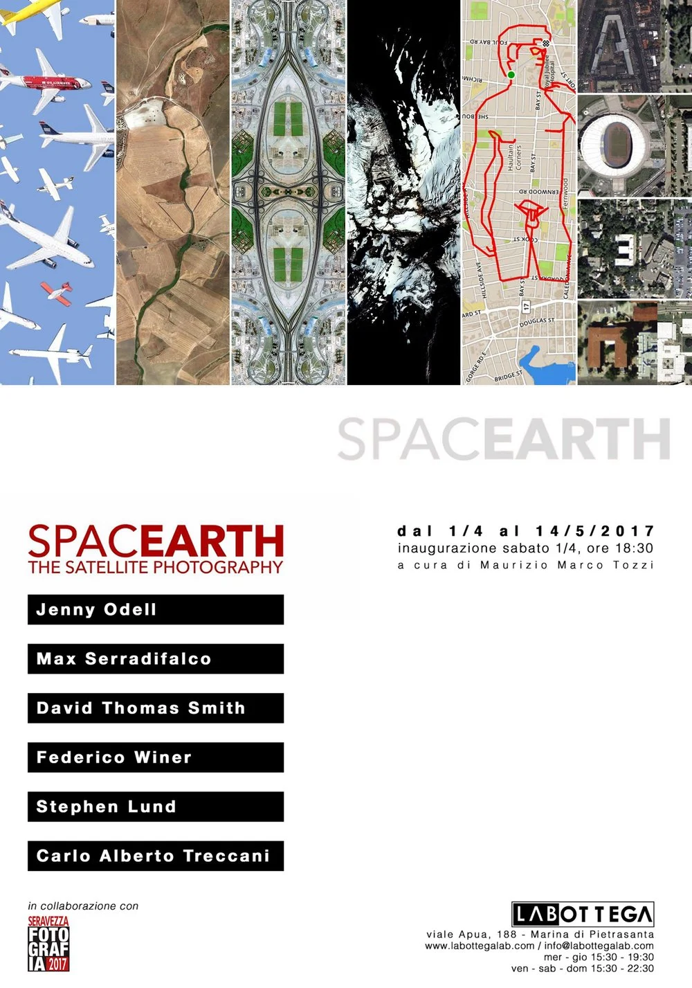
Presented in institutional and cultural contexts where satellite imagery, contemporary art, territory, science, and industry converge.

“Argentinian photographer Federico Winer uses Google Earth satellite images to play with the way we see our planet in his long-term project Ultradistancia”
“Federico Winer has taken aerial photography to a new level”
“Ultradistancia is an invitation to discover from above hidden forms from our human perception”
Around the World
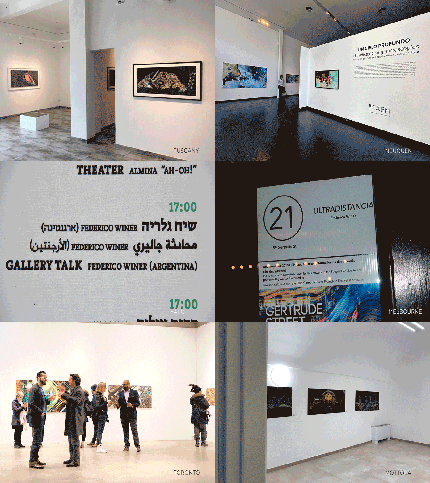
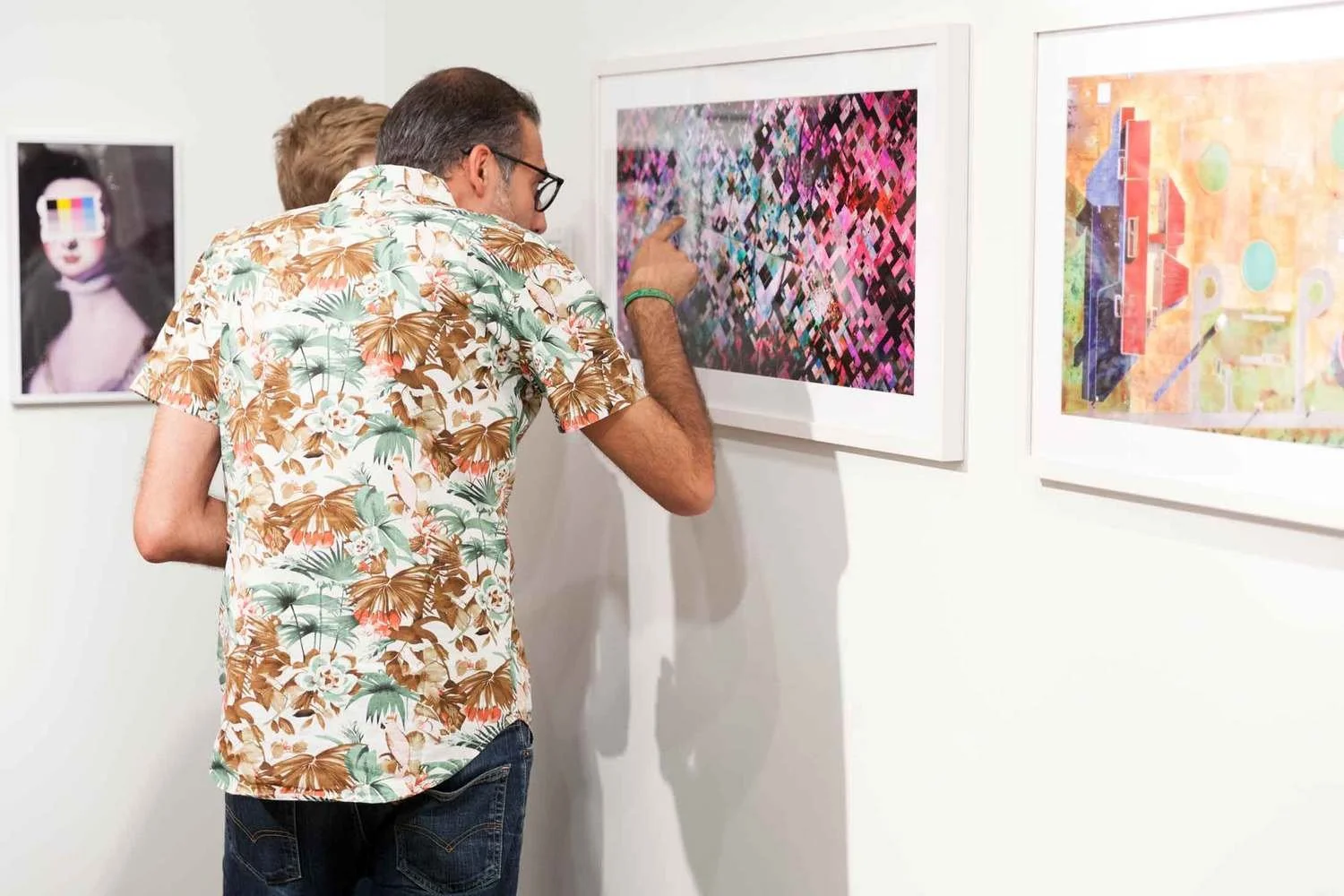
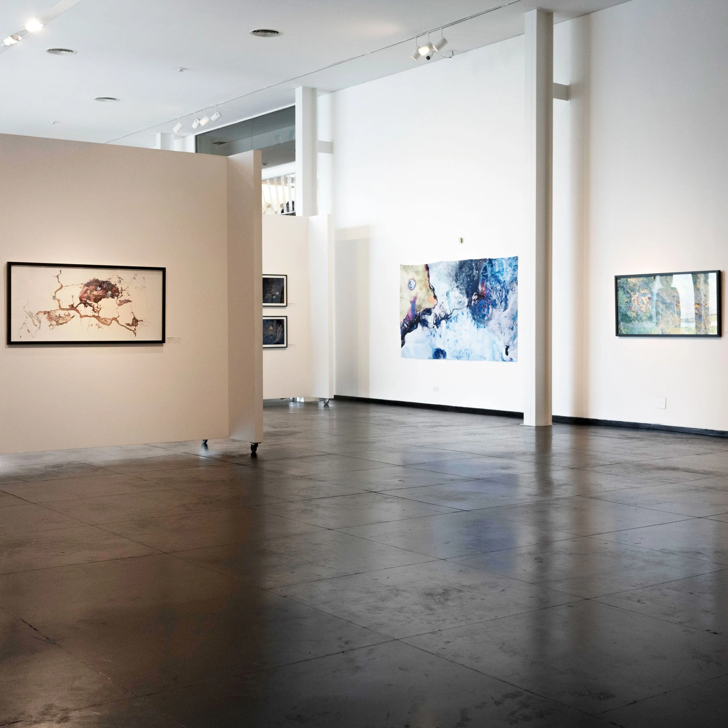
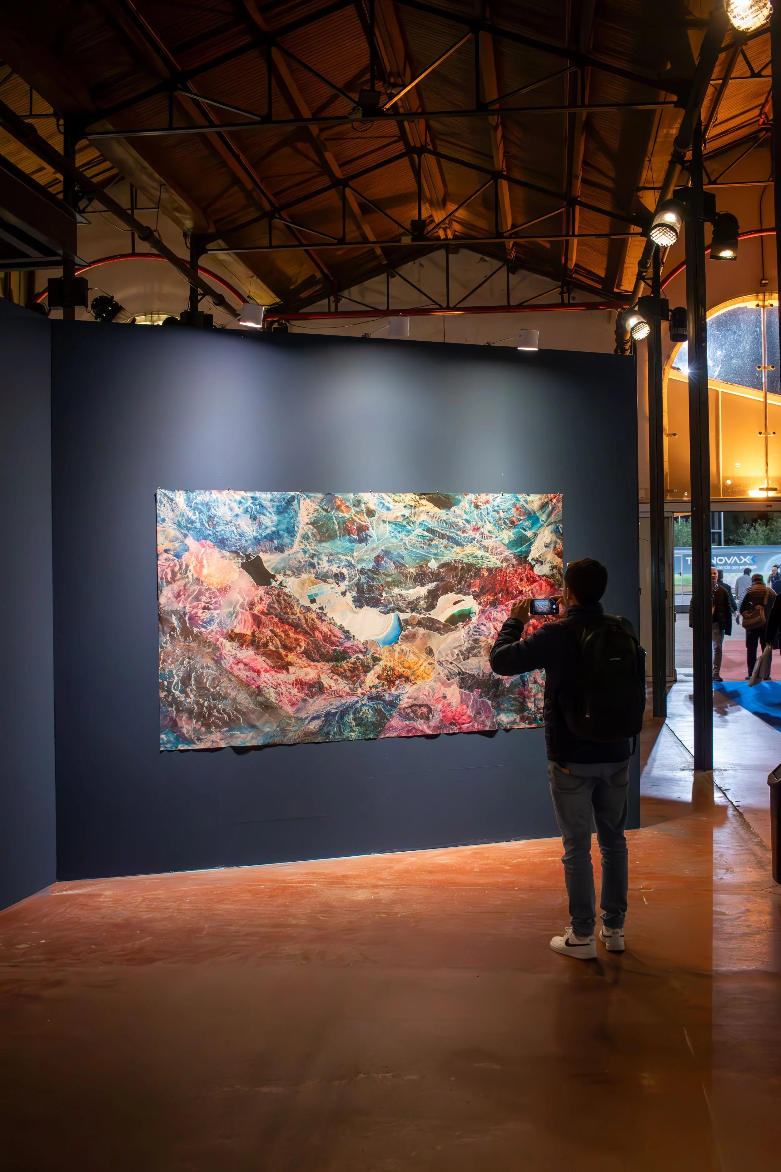
Over the past decade, Ultradistancia has been exhibited and presented internationally in galleries, museums, cultural institutions, art fairs, and corporate spaces. From large-scale photographic works to installations, videos, and fine art prints, the project has brought remote landscapes into direct physical encounter with a eclectic variety of people around the world.
Custom Projects
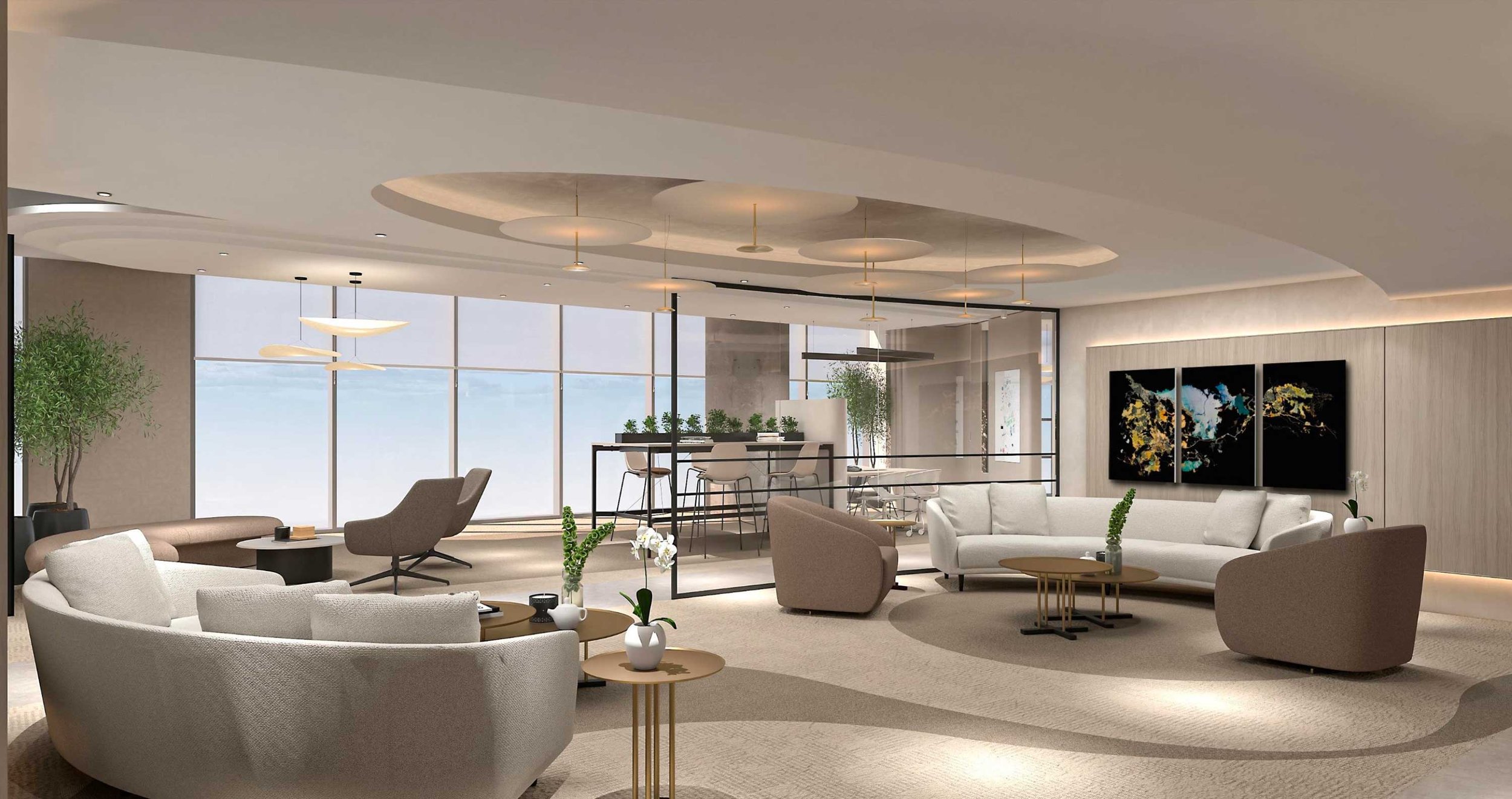
Ultradistancia creates bespoke satellite-based artworks for private collectors, companies, institutions, headquarters, public spaces, exhibitions, and special projects. Each commission begins with a specific location and becomes a museum-grade artwork developed through the project’s visual language.
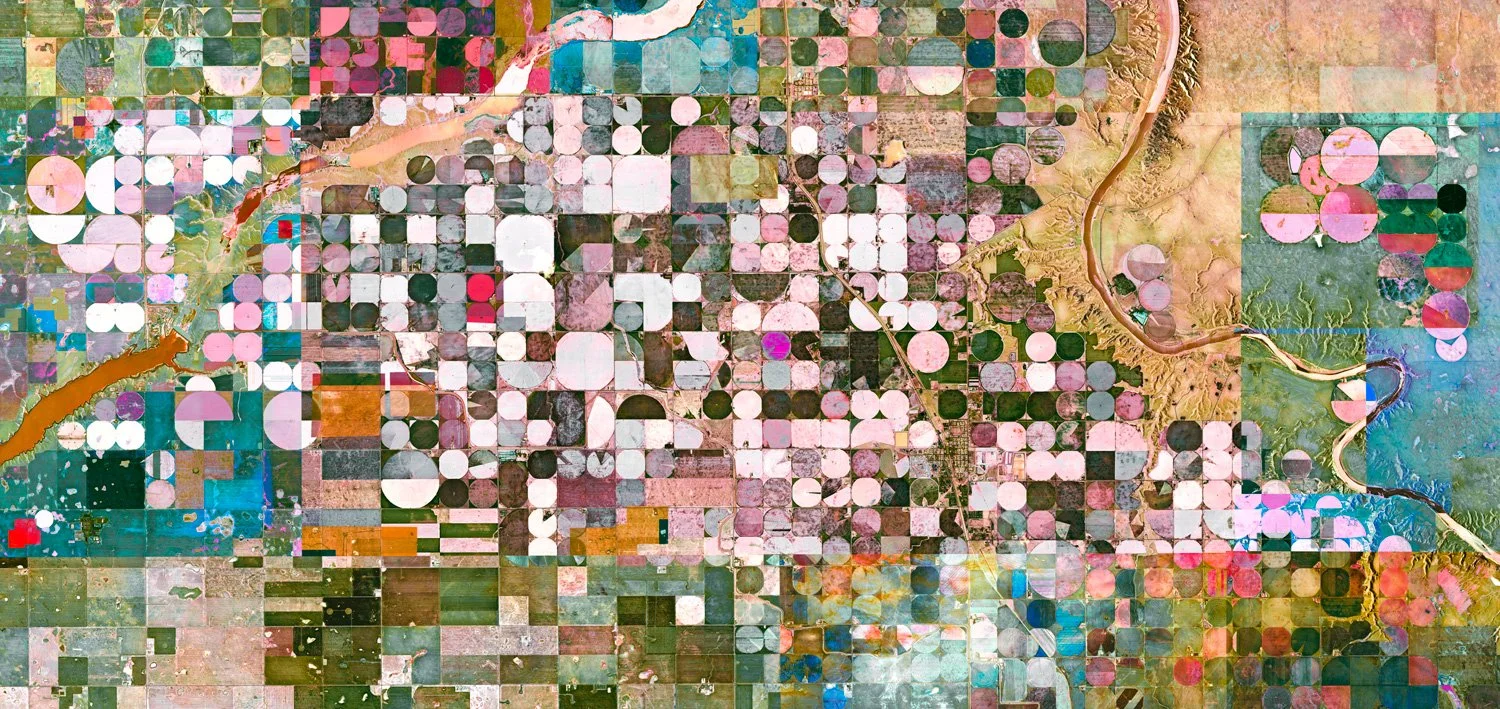
BURDETT - Alberta, Canada - Ultradistancia Fields Series, 2026
THE EARTH AS CANVAS. WELCOME TO ULTRADISTANCIA
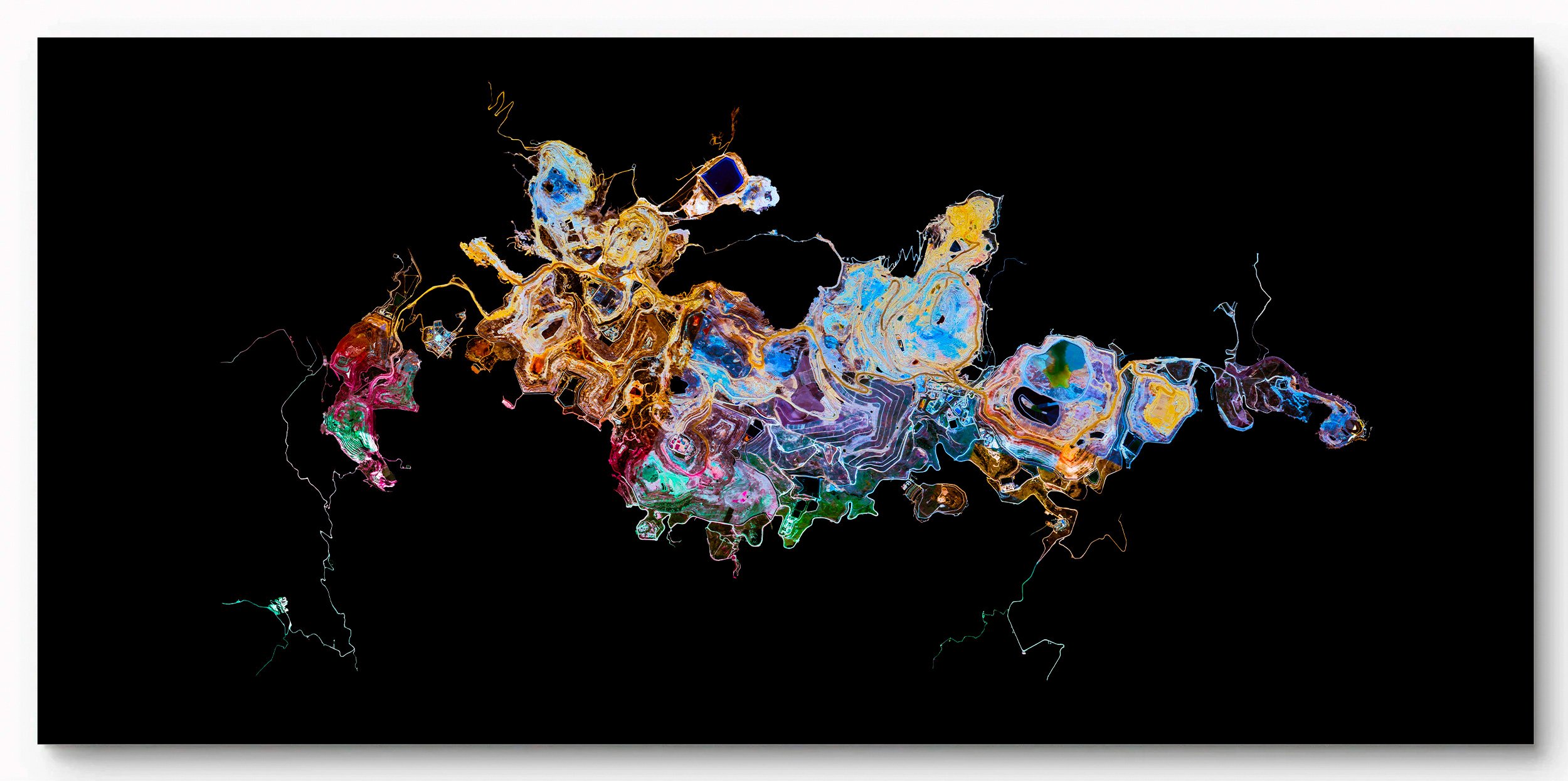
YANACOCHA MINE - Cajamarca, Peru - Ultradistancia Black Mines Series, 2019
Project Statement
My artistic practice explores the relationship between technology, perception, and territory. I am interested in the technical systems through which the contemporary world becomes visible and in what happens when the images they produce are removed from their original functions and brought into the field of art.
Satellites continuously produce images to measure, map, navigate, monitor, and administer territory. We usually look through these images toward the information they contain: a satellite image is meant to be consulted, not contemplated.
ULTRADISTANCIA, the project I have developed since 2015, begins by altering this regime of perception. I work with images of real places produced by existing systems of planetary observation. I do not create imaginary landscapes. Instead, I remove technical images from their instrumental context and transform them into objects of sustained visual attention.
Although digital and satellite technologies suggest immediacy, my creative process is deliberately slow. Each work begins with an extensive exploration of territory, followed by a meticulous process of selection, composition, reconstruction, and chromatic transformation using digital tools and handcrafted techniques. Over more than a decade, I have developed a working method in which scale, texture, colour, and visual balance are resolved individually. There are no automatic procedures or presets: each territory poses a distinct visual problem and demands its own sequence of decisions and interventions.
This tension between technological speed and artistic slowness is central to my practice. Satellite systems belong to a world of massive data production and instantaneous access; I extract a single territory from that accelerated flow and subject it to an extended process of observation and construction. The acceleration of technological vision is answered by the deceleration of artistic vision.
The satellite becomes an extension of the photographic apparatus, occupying a viewpoint that no human body can inhabit. From this ultra-distance, familiar territories acquire unexpected forms: cities become organisms, airports become diagrams, agricultural fields become geometric compositions, and mines appear as monumental interventions of colour, texture, and form upon the Earth’s surface. Information becomes landscape, and landscape approaches abstraction.
Yet these images do not cease to be documentary when they become abstract. Everything represented exists. Their tension lies precisely in discovering that forms resembling paintings or invented geometries are records of real territories and of the natural, industrial, and economic processes operating upon them.
My recent work has increasingly focused on the relationship between human intervention and planetary scale through mining landscapes, infrastructure, agricultural territories, and cities. Satellite vision makes visible transformations whose dimensions and complexity are often impossible to comprehend from ground level, revealing both their material reality and their unexpected aesthetic power.
The physical production of each artwork is integral to this process. Photographic paper, acrylic, metal, textiles, printing, mounting, framing, surface, colour, and scale are selected according to the requirements of each image. Through its material construction, the work returns a technologically mediated territory to the scale of the human body, transforming an immaterial flow of information into an object with presence, surface, and weight.
At the centre of ULTRADISTANCIA lies a contemporary paradox: technology has given us an unprecedented capacity to observe the Earth, yet seeing more does not necessarily mean understanding more.
Art can operate within that distance. It can suspend the utility of the technical image, slow down our gaze, and reveal what was already visible but remained unseen. ULTRADISTANCIA moves from territory to technology, from information to image, from speed to slowness, and from digital vision back to physical experience. It asks what happens when an image created to measure and administer the world becomes an image through which we can contemplate it again.
From this distance, geographical boundaries remain real, but they no longer determine how we see. Territories separated by oceans, cultures, and histories begin to reveal unexpected connections without losing their singularity. The satellite gaze does not erase difference; it offers another scale from which difference and interdependence can be perceived simultaneously.

TABARJAL CIRCLES - Al-Jawf, Saudi Arabia -
Ultradistancia Voyager Series, 2017